Get Lost Mountaineering
You are here: England » Lake District » 4 Southern Fells
Black Fell (Black Crag) & Tarn Hows
Black Fell (Black Crag) & Tarn Hows from Tom Gill/Glen Mary Car Park
Start/Finish
National Trust car park a few hundred metres south of Yew Tree Tarn on A593 Ambleside to Coniston Road. Parking is charged but free to National trust members.
Distance/Time
7 km About 2 - 3 hours
Peaks
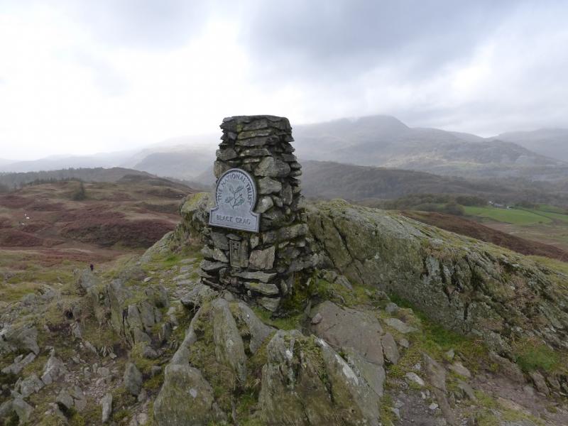
Black Fell, 323 m, NY 340 016. OL 7 South Eastern Lakes
Introduction
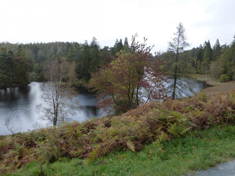
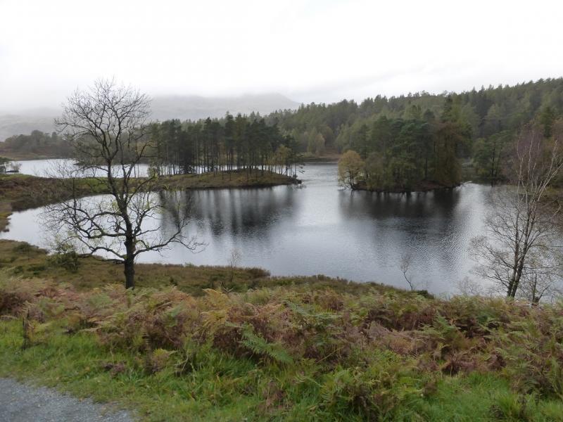
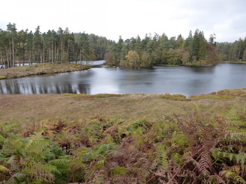
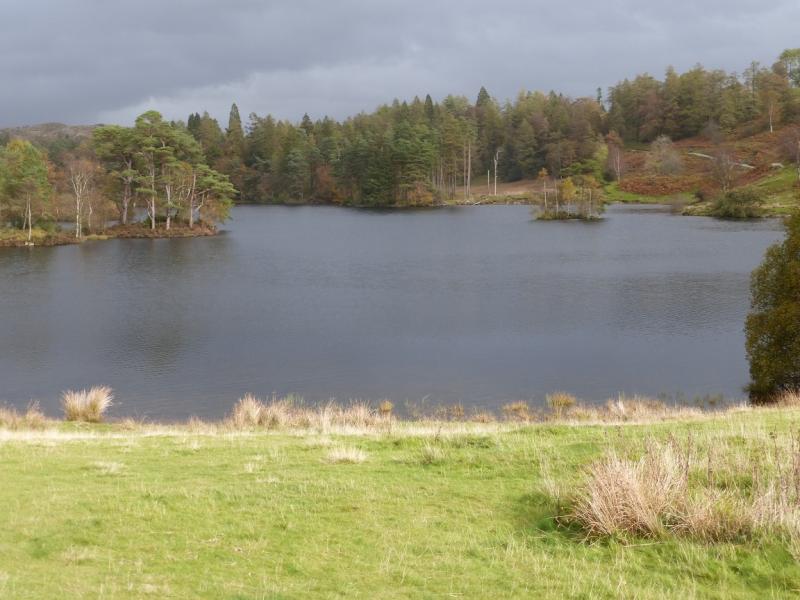
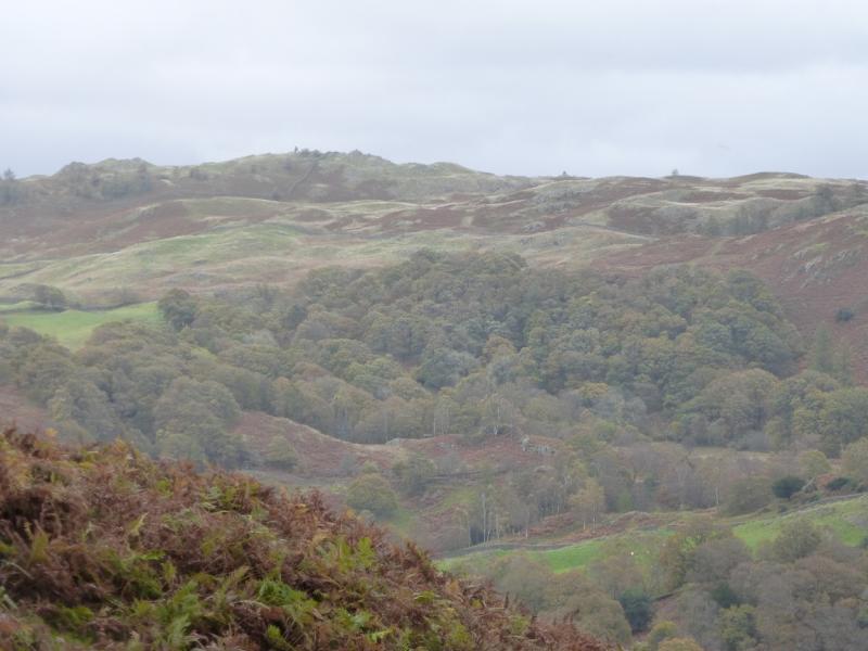
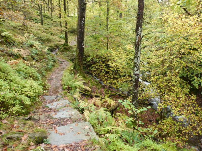
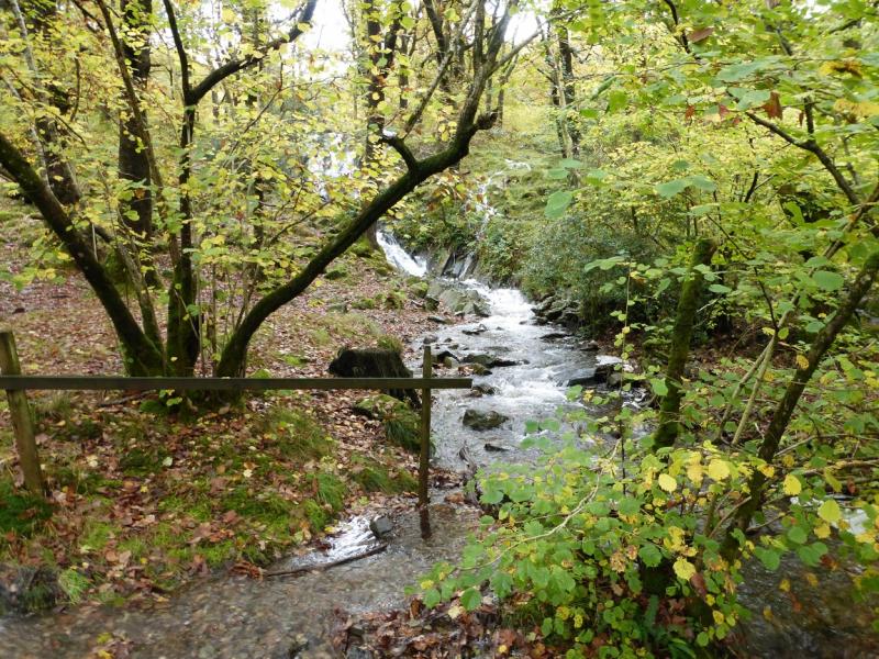
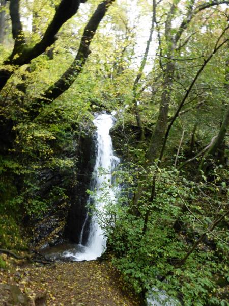
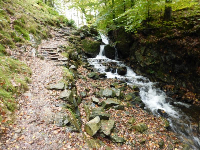
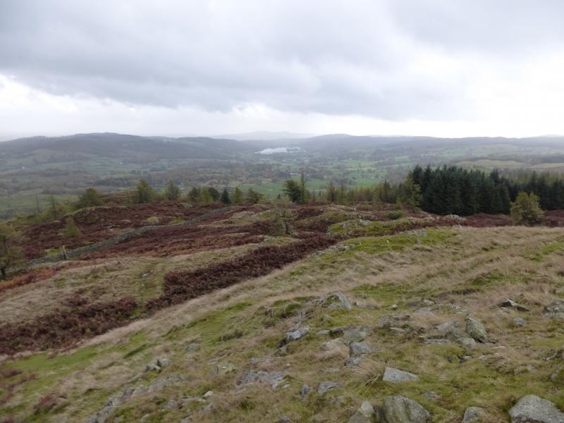
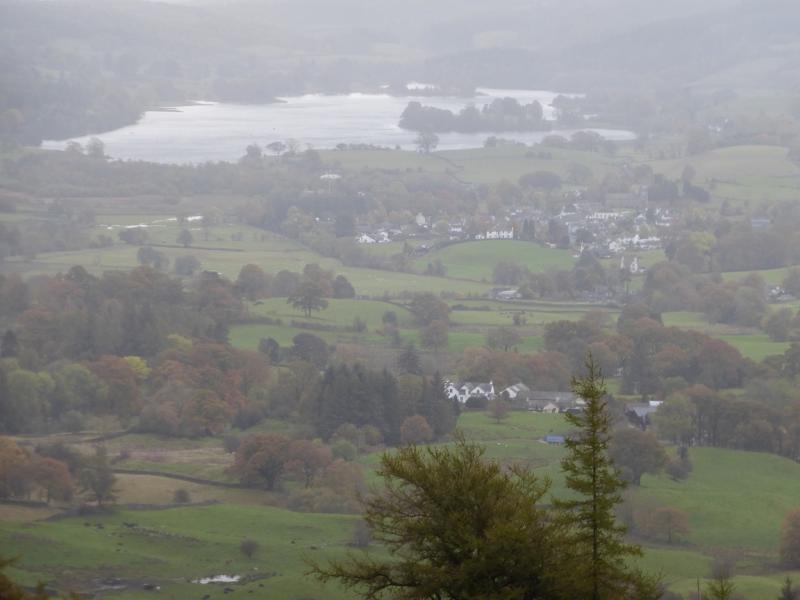
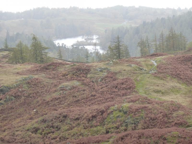
The summit of Black Fell is actually called Black Crag and there is a named plaque to this effect on the summit. The route also walks around Tarn Hows – one of the most popular and scenic spots in the Lake District. This could make parking difficult during the peak season. Navigation is very simple, even in mist. Black Fell is a splendid viewpoint for Windermere, Coniston Fells, Langdale and the Fairfield Horseshoe. The route to and from Tarn Hows goes up the picturesque Tom Gill which has a sizeable waterfall.
Route
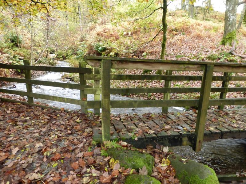
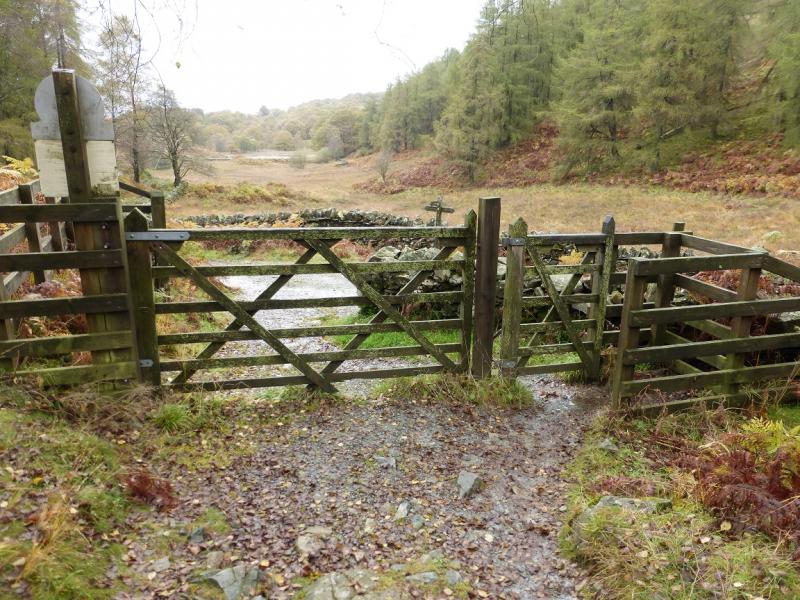
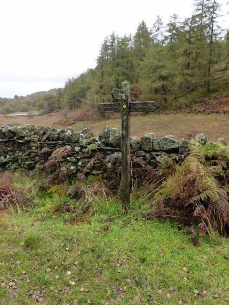
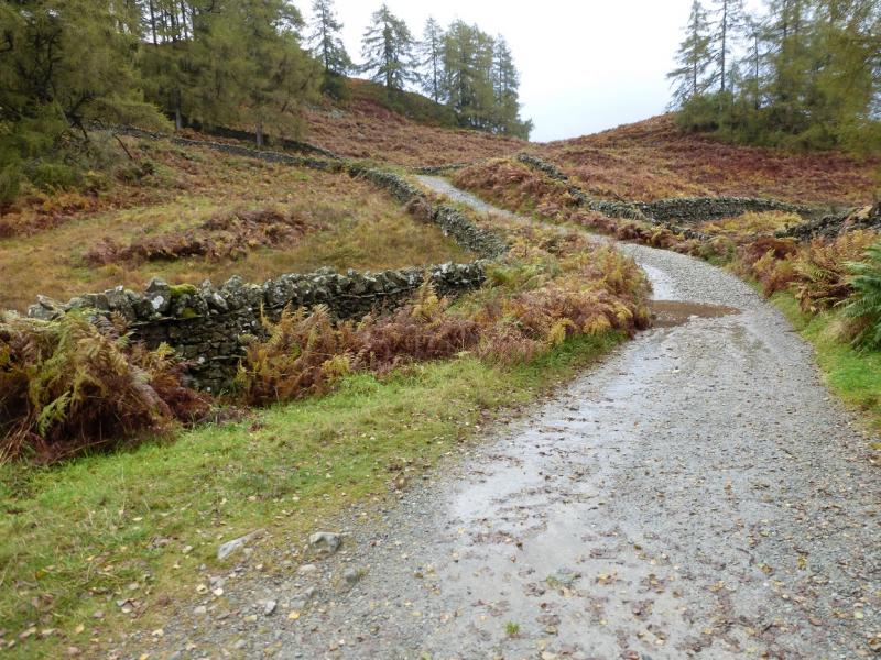
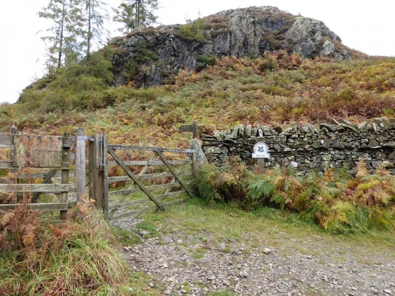
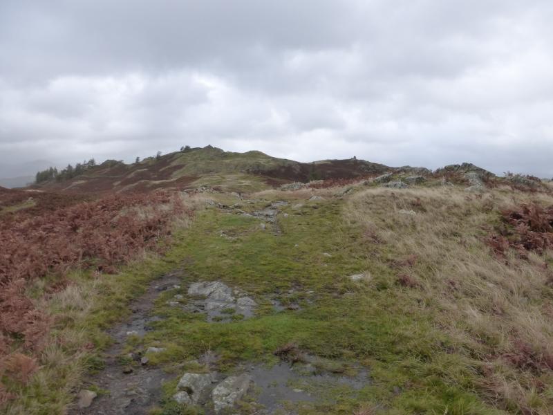
(1) Cross the footbridge by the the noticeboard by the entrance to the car park then follow the obvious path up the side of Tom Gill, passing a fair sized waterfall on the way. Reach Tarn Hows and turn left on to the very good path. When a sign post is reached, take the path for Arnside and follow this away from Tarn Hows to reach a gate and a stile which gives access to a walled track. Turn right and follow the track uphill for some distance until a gate, on the left, is reached which is signed Iron Keld. Go through the gate and follow the track uphill until another gate is reached, after a sign post. Immediately after the gate, a reverse right fork path leads up the gentle hillside with the odd cairn. Follow this, with some undulation, until a very large cairn is reached. If it is clear, the summit will be visible by now. Turn right, on to a lesser path which goes steeply uphill for a short distance, and soon reach the impressive beacon. A path goes N form the beacon and soon reaches the trig point, on an outcrop, which is the summit of Black Fell, 323 m. Drinkers might be interested to note that, almost due E, lies the Drunken Duck about 1 km away!
(2) Retrace to the walled track and start walking back along it. At a gate on the left, a path goes back to Tarn Hows. Follow this to Tarn Hows then go left on to its undulating main circular path and follow this around to where the path returns to the car park.
Notes
(a) This walk took place on 18th October, 2014.
Photos - Hover over photo for caption. Click on to enlarge. Click on again to reduce.
![]()
![]()
![]()
![]()
![]()
![]()
![]()