Get Lost Mountaineering
You are here: England » Lake District » 4 Southern Fells
Holme Fell
Holme Fell from Tom Gill/Glen Mary Car Park
Start/Finish
National Trust car park a few hundred metres south of Yew Tree Tarn on A593 Ambleside to Coniston Road. Parking is charged but free to National trust members. This car park is used by people walking to the very popular Tarn Hows so can be very busy especially in the summer.
Distance/Time
4 km About 1 - 2 hours
Peaks
Holme Fell, 317 m, NY 315 006. OL 7 South Eastern Lakes
Introduction
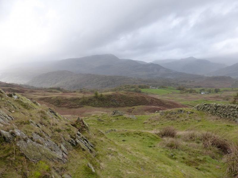
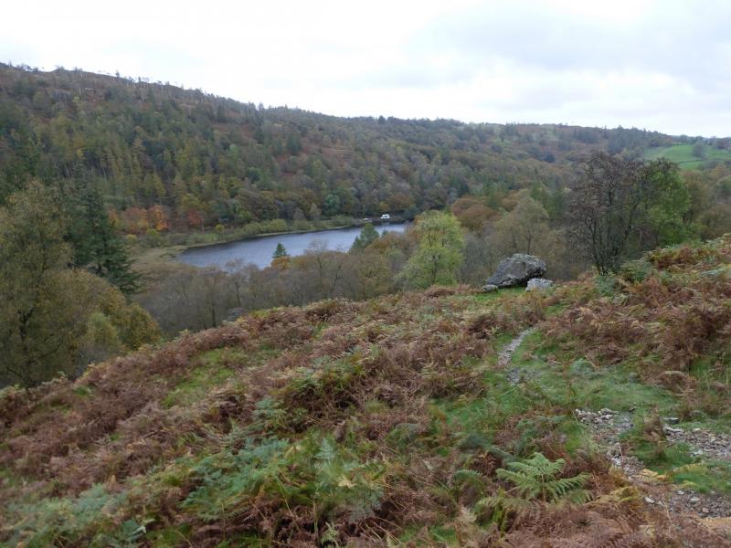
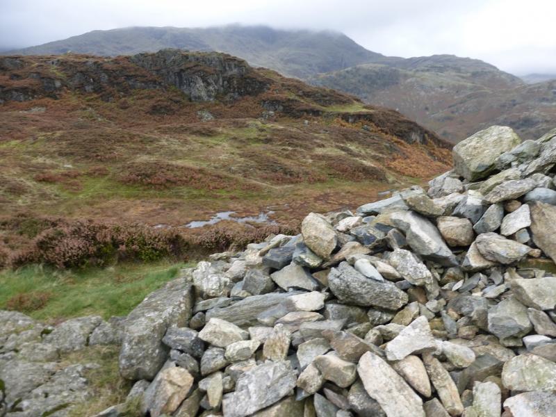
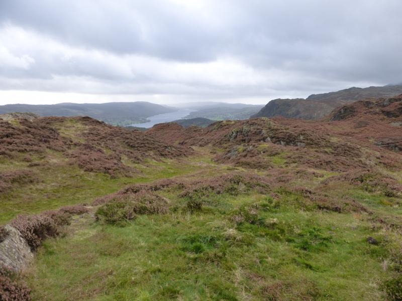
This is a short but quite scenic walk which offers fine views to Wetherlam, Pike of Blisco, Lingmoor Fell and the Fairfield horseshoe not to mention Black Fell across the main road. Coniston Water is also well seen.
Route
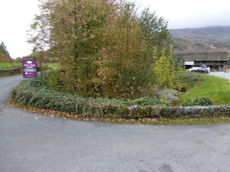
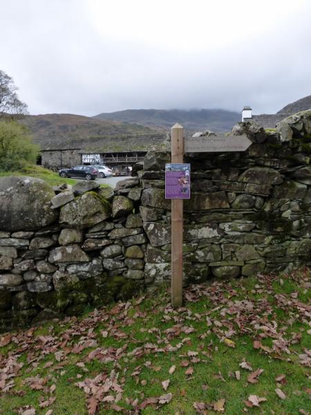
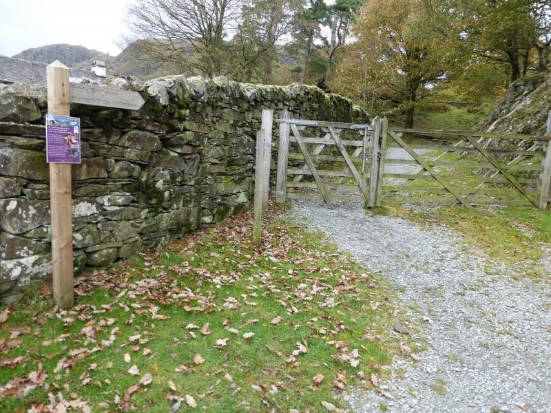
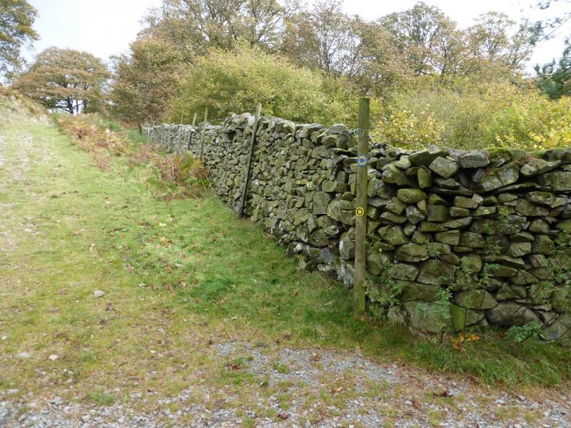
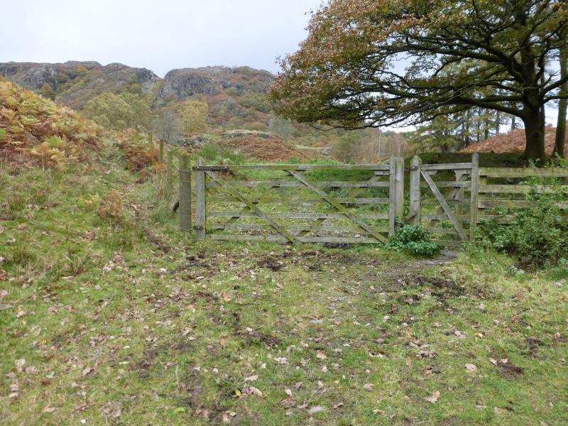
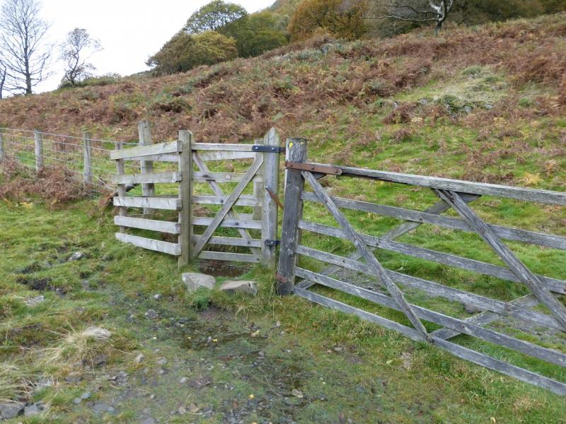
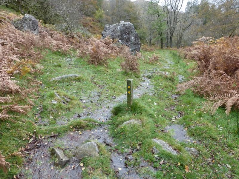
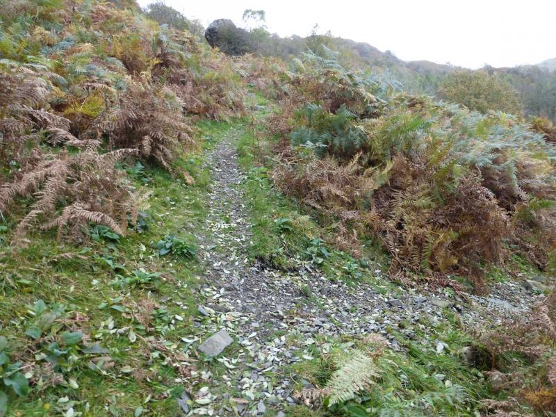
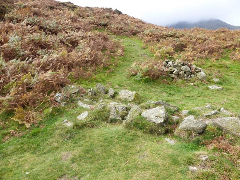
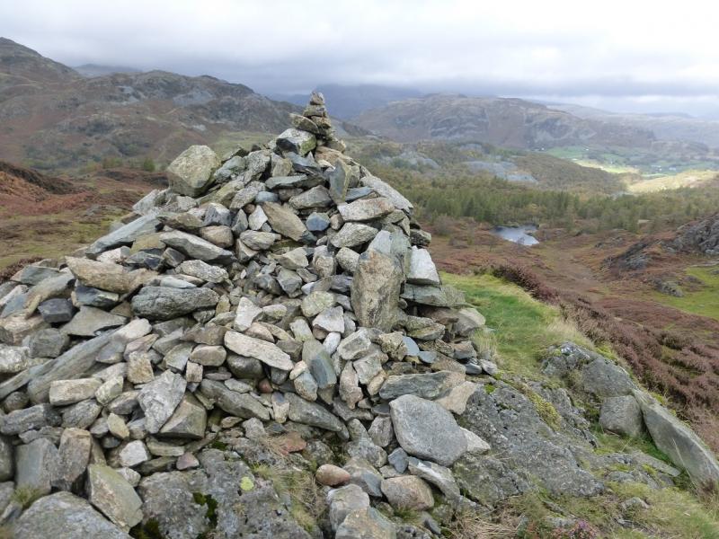
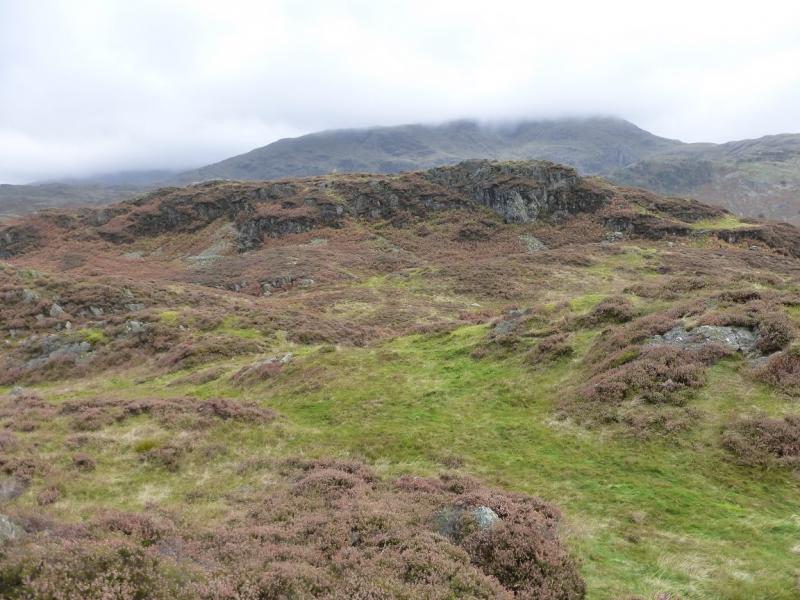
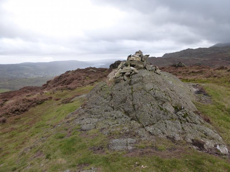
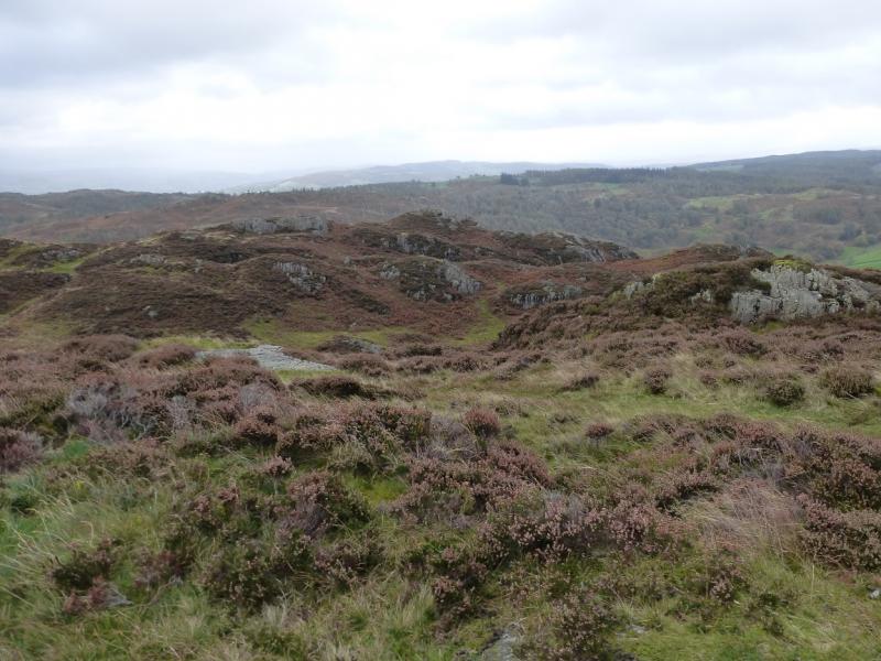
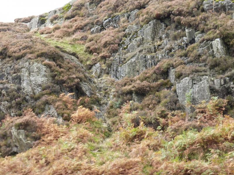
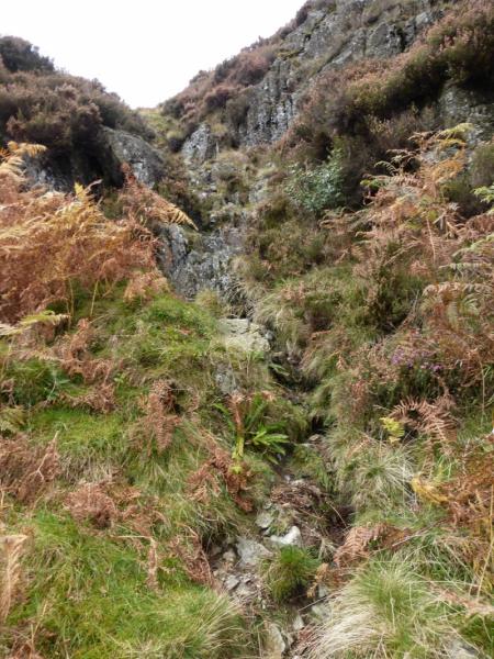
(1) Walk down the road towards Coniston, for about 200 or so metres, until Yew Tree Farm is reached. Go through the gate giving access to a good track around the right hand side of the farm. Soon after, branch right (direction arrow but no name) on to a track by a wall which quickly becomes a path heading towards the back of Yew Tree Tarn which is out of sight at this time. Go through a gate then another gate then continue on the path until it splits near some large boulders. Take the left fork and follow it up, steeply in places. Just before some more boulders are reached, a path goes right and down towards the N end of Yew Tree Tarn which is now visible. Ignore this turning but it will be used in descent. Continue up, past a large cairn, and reach the crest at another large cairn. Turn left and follow the path up to the cairned top on the left top – this is the lower top. The summit is the top to the right (with Wetherlam behind)and has a crag below it facing the lower top. Walk over (choice of paths) the grassy undulating ground between the two summits. The best way up is a short, but easy, rocky groove to the left of the crag. There is a medium cairn on a small outcrop which is the summit of Holme Fell, 317 m.
(2) Walk back to the cairn where the crest was reached and follow the outward path down to the branch which goes down towards the N end of Yew Tree Tarn. Follow this path down to reach a sign post giving a choice of which side of the tarn is walked around. Either route leads to the dam at the outflow end from where it is a short walk back to the start.
Notes
(a) This walk took place on 19thOctober, 2014 and 18th August, 2025 when the weather was much better so all the photos from that day have also been uploaded.
(b) There are some photos of Holme Fell taken from Yewdale Tarn but note that the route above does not start or finish at the tarn although there is a path at the northern end of the tarn which might lead to the above route.
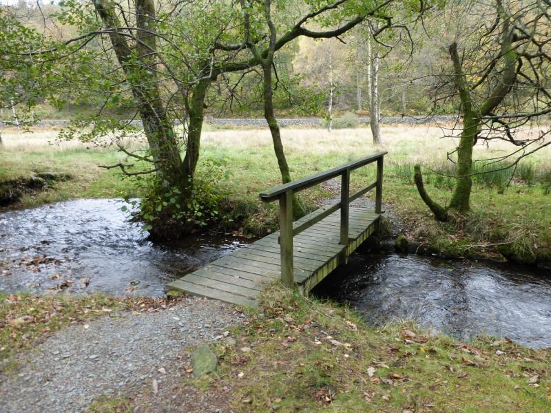
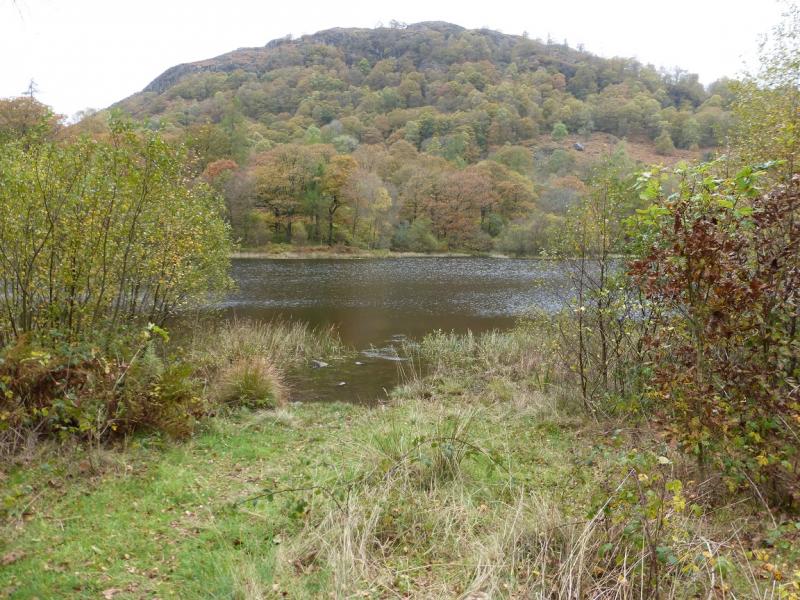
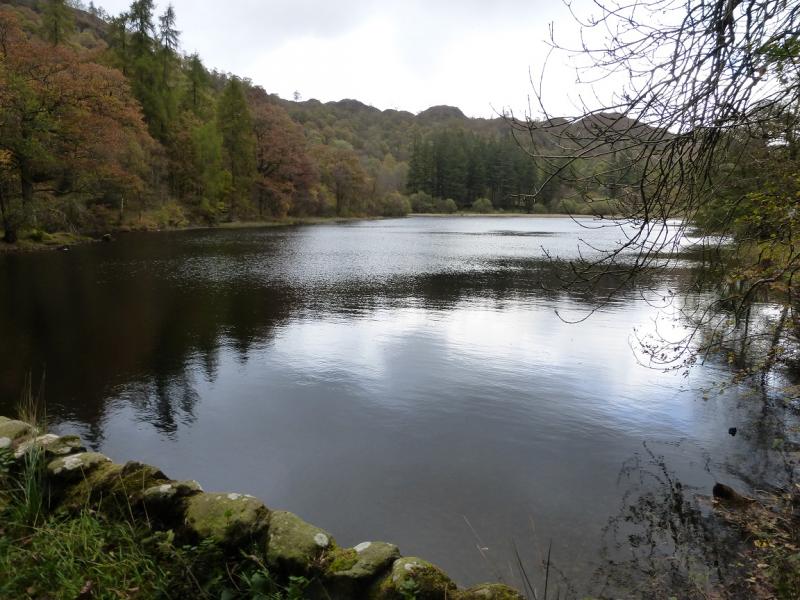
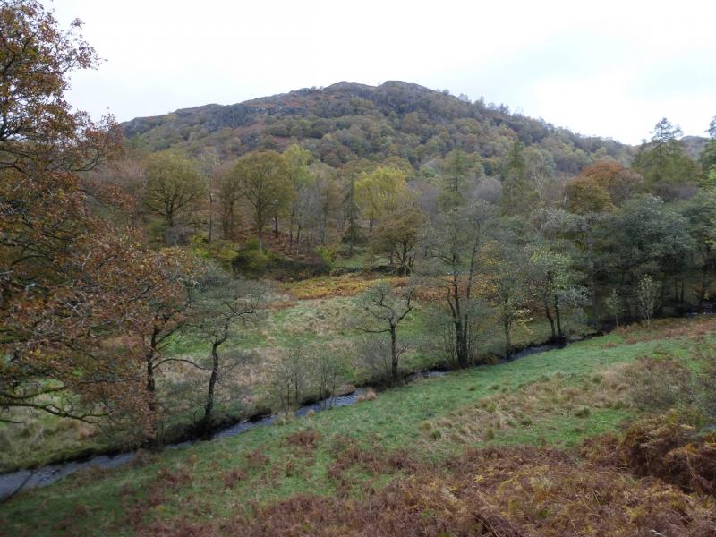
Photos - Hover over photo for caption. Click on to enlarge. Click on again to reduce.