Get Lost Mountaineering
You are here: England » Lake District » Outlying Fells
Brunt Knott from near Staveley (FE)
Brunt Knott from near Staveley
Start/Finish
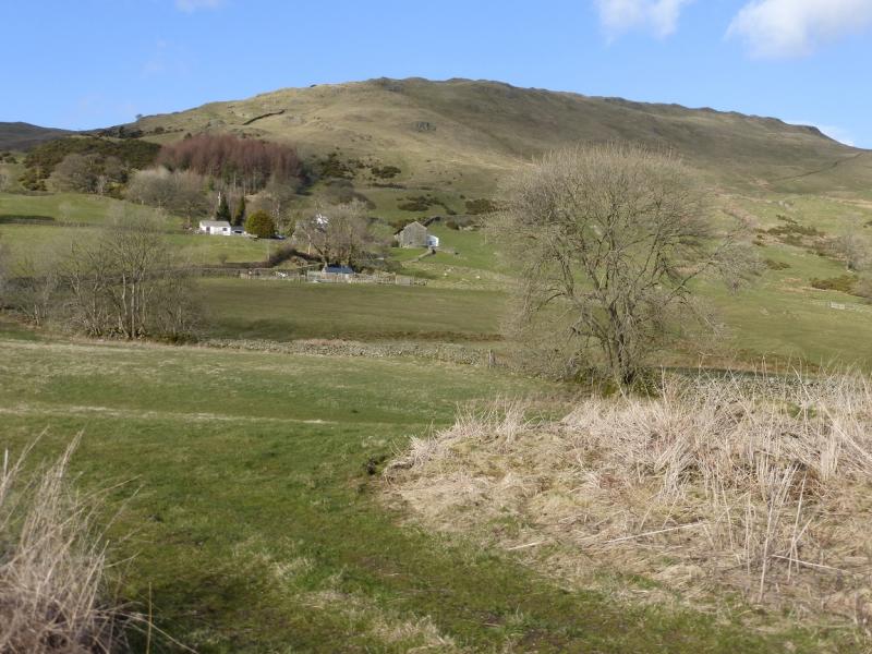
Parking is quite limited for this route and it may be necessary to park well back, towards Staveley on busy days. From Staveley, between Kendal and Windermere, follow signs out of the village for Kentmere initially heading up the west side of the River Kent. Cross the river at Barley Bridge which is the first bridge over the river. Turn left (no through road) and drive up Hall Lane to reach the road junction where there is a reverse right fork. This junction has been widened considerably to allow long vehicles to negotiate the turning so do not park on the tarmac. There is a small space behind the seat and some verge parking is possible in dry weather.
Distance/Time
3 km About 1 - 2 hours (longer from nearer Staveley)
Peaks
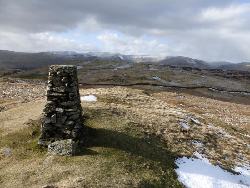
Brunt Knott, 427 m, NY 484 006. OS 1 : 50 000 , sheet 90.
OS 1 : 25 000 Outdoor Leisure 7, English Lake District SE Area.
Introduction
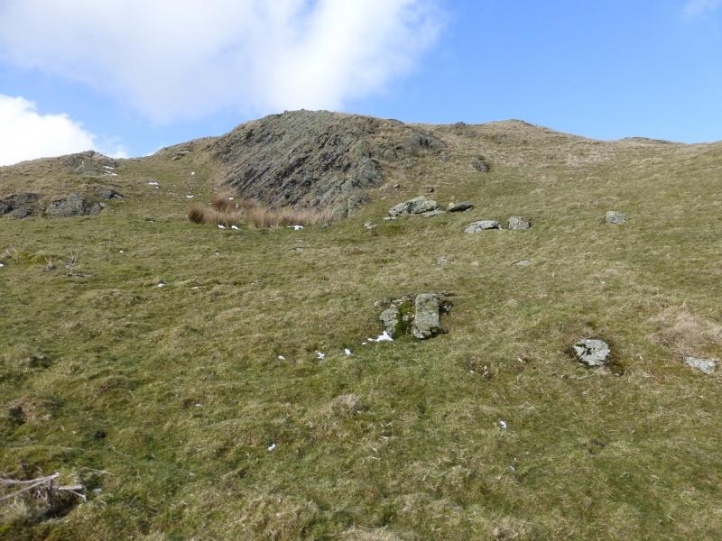
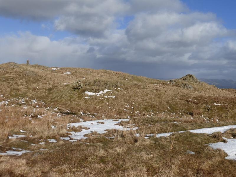
This is a short walk but one is rewarded with good views down Kentmere especially to the Kentmere Horseshoe. The ascent is on steep short grass which is straightforward when dry but will be slippery when wet. In winter conditions, it would only be for those experienced in the use of ice axe and crampons. There are a few minor “crags” which offer some scrambling opportunities but they are easily avoided if you wish.
Route
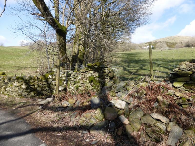
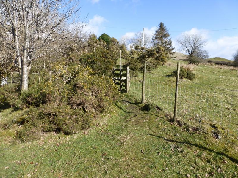
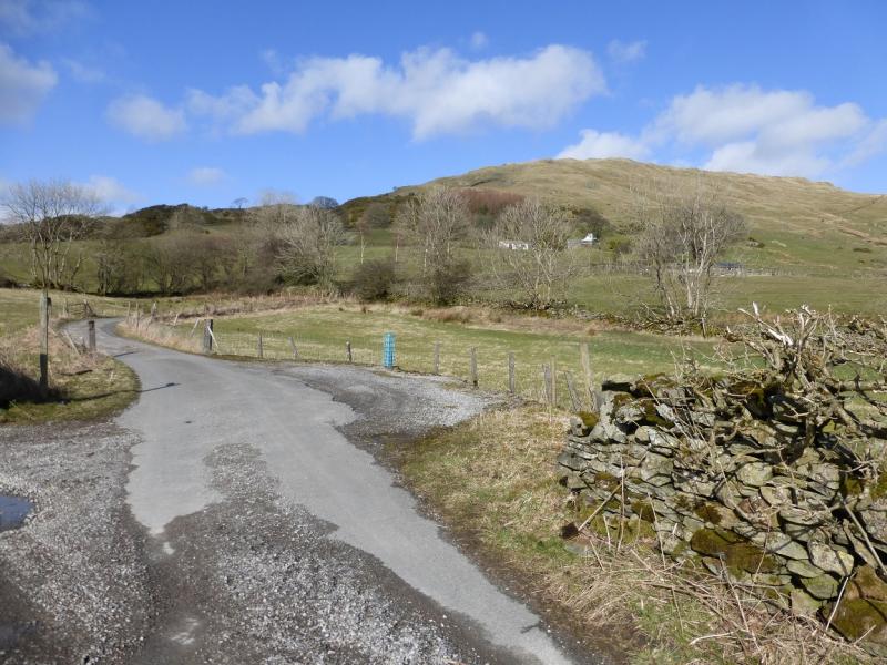
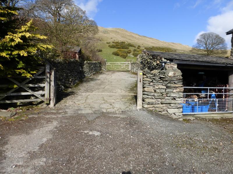
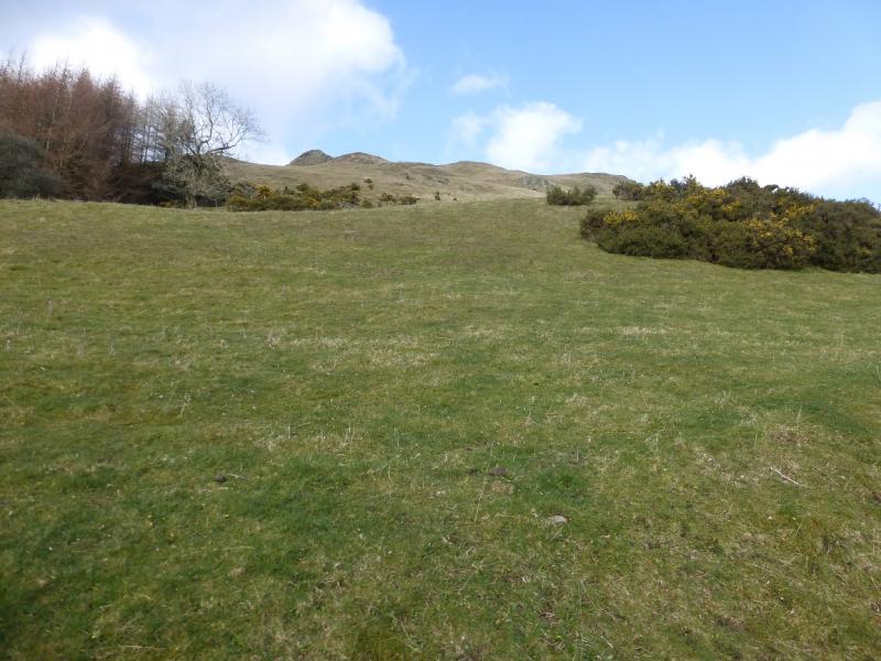
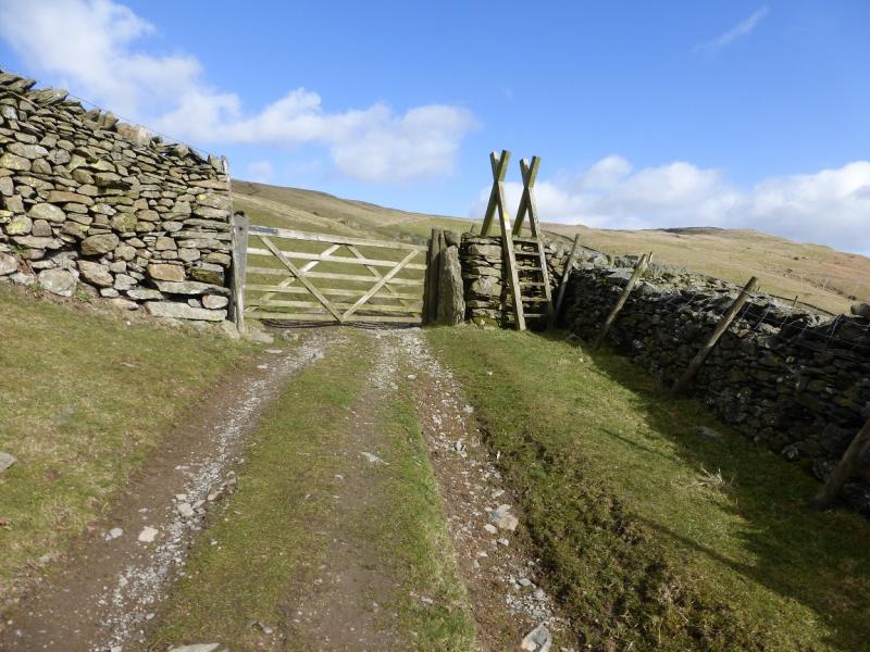
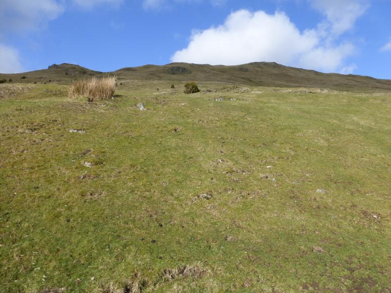
(1) Continue up Hall Lane from the reverse fork junction. In about 200 m, reach a stile on the right just before a stream. Climb over and follow a path which ascends by a pleasant gill. Climb over a stile at the top. Turn right, past Ghyll Head, and follow a track which goes roughly S, descending slightly. Reach a tarmac road and turn left, signed for Brunt Knott Farm. Follow this to the farm, which is now mainly holiday cottages, and take the obvious track through a gate. Continue behind the farm and soon reach a stile which gives access to the open fell. Immediately, strike up the steep grassy slopes heading roughly NE to reach the crest. Follow this ENE to reach the traditional stone built trig point which marks the summit of Brunt Knott, 427 m.
(2) Retrace back to Brunt Knott Farm then along the road to the junction for Ghyll Head. Don't retrace to Ghyll Head but stay on the road to reach a T junction. Go right and follow this road back to the reverse fork junction.
Notes
(a) This walk took place on 26th March 2015.
Photos - Hover over photo for caption. Click on to enlarge. Click on again to reduce.