Get Lost Mountaineering
You are here: England » Lake District » 4 Southern Fells
Pike of Blisco, Cold Pike & Crinkle Crags from Old Dungeon Ghyll
Pike of Blisco, Cold Pike & Crinkle Crags from Old Dungeon Ghyll
Start/Finish
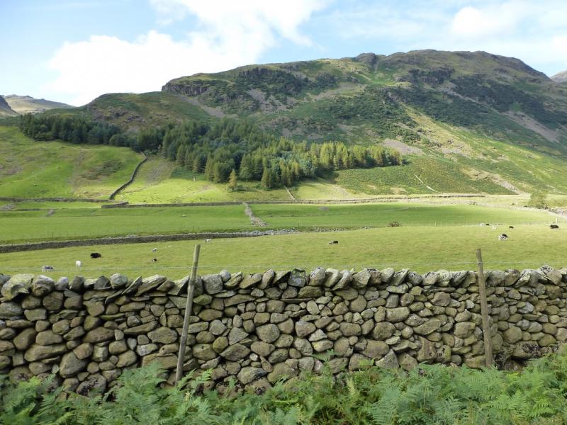
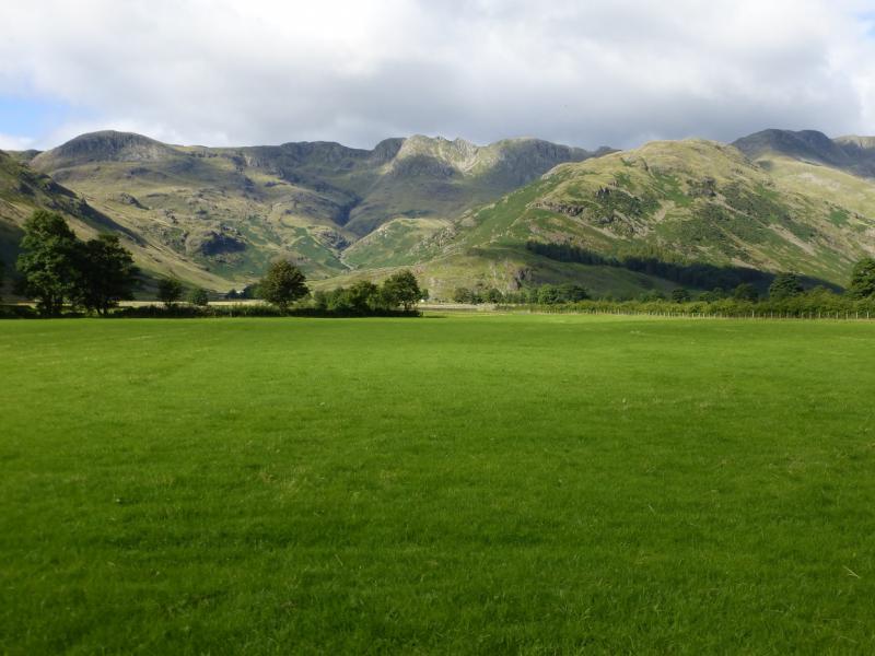
Old Dungeon Ghyll at the end of Langdale. Turn right into the hotel where there are two car parks. The first (on the right) is owned by the hotel at £3 per day in 2015. Just past this car park and not at all obvious at first is the National Trust car park at £6.50 per day but free to National Trust Members.
Distance/Time
14 km. About 6 - 7 hours.
Peaks
Pike of Blisco, 705 m, NY 271 042.
Cold Pike, 701 m, NY 263 036.
Crinkle Crags (Long Top), 859 m, NY 249 049.
OS 90 Penrith & Keswick. OL6 South Western Lakes.
Introduction
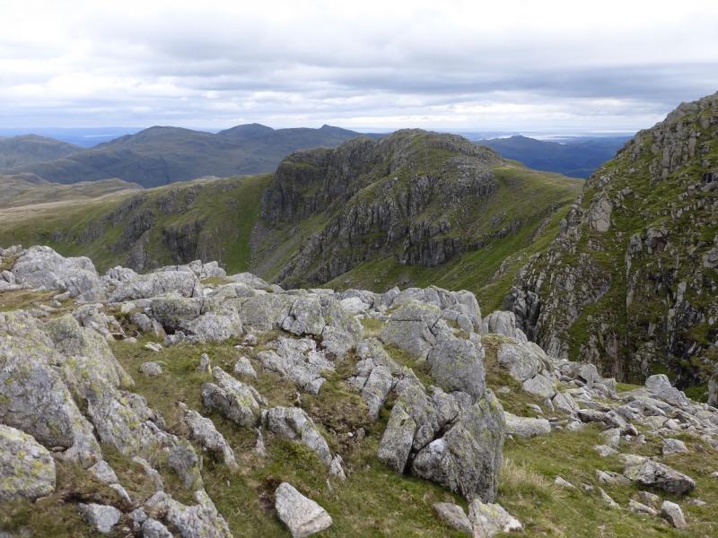
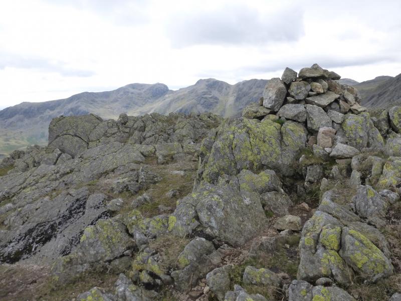
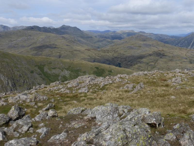
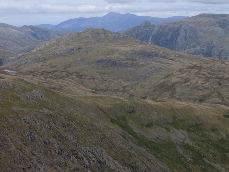
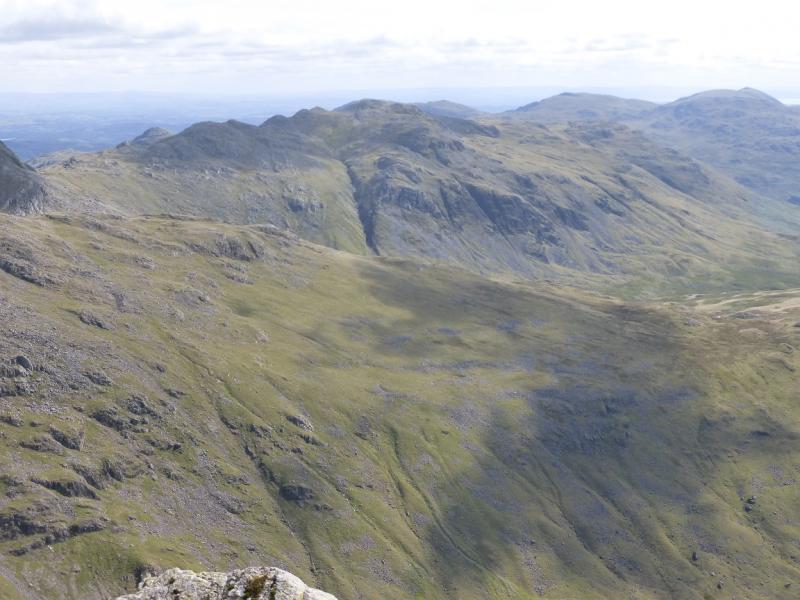
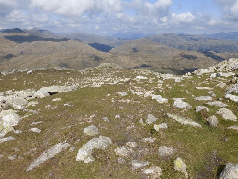
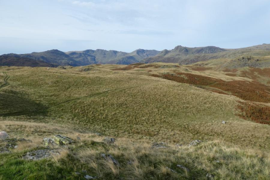
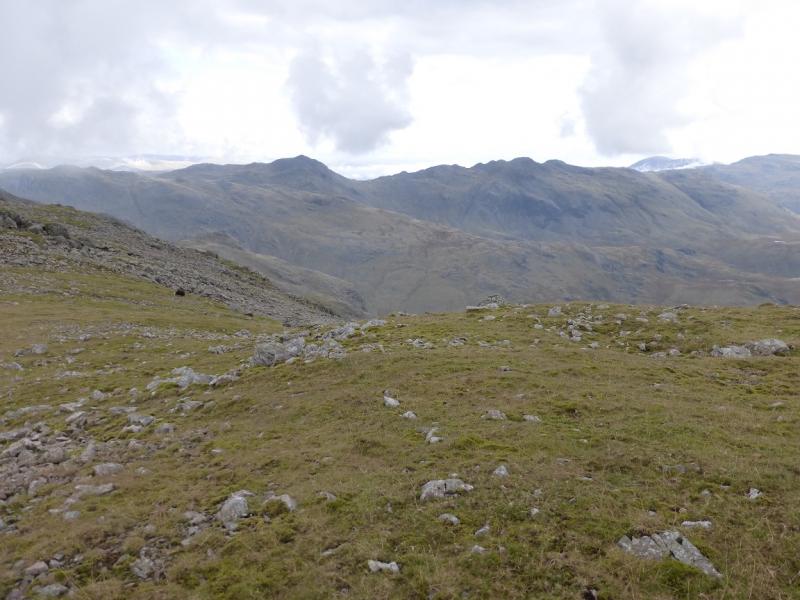
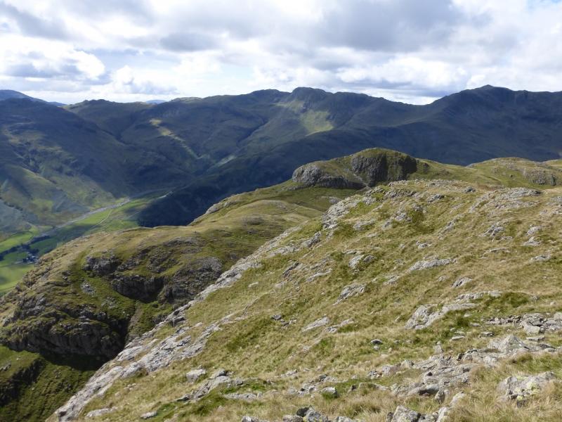
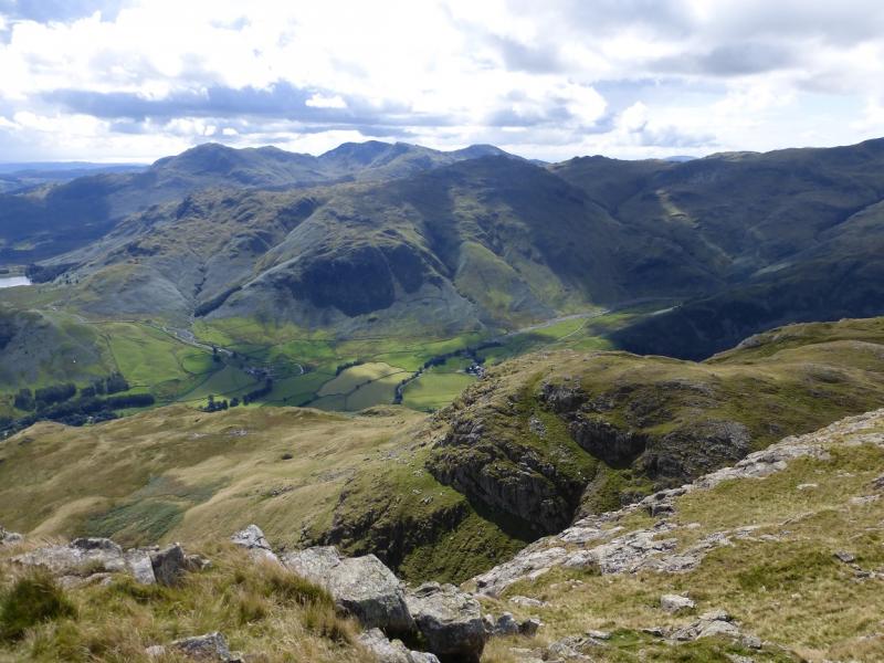
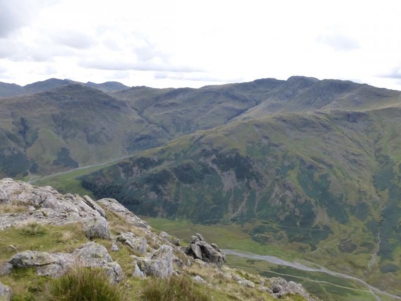
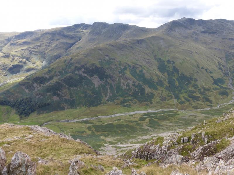
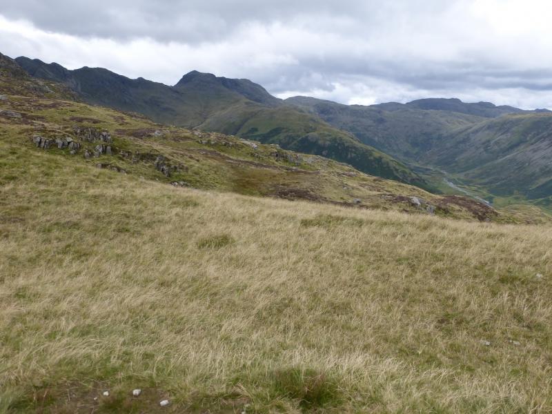
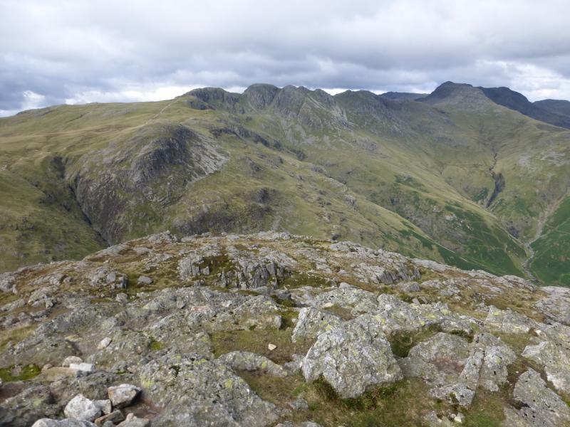
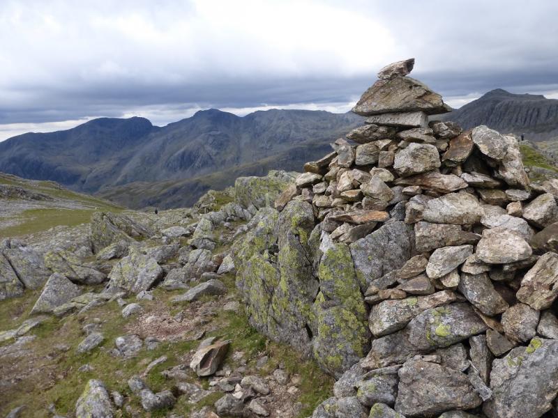
This is a tough walk with a steep descent up on to Pike of Blisco after which there is much rocky ground. There is an awkward wall to ascend the gully which is the direct route up Long Top but this cab be avoided. A common opinion is that there are five tops on Crinkle Crags. In fact, there are eight tops with cairns with the summit being the second top from the south. On a clear day, the views are superb and include Wetherlam, Great Carrs, Grey Friars, Bow Fell, Scafell, Scafell Pike, Great End, Lingmoor Fell and the Langdale Pikes to name a few. Including Cold Pike means a detour off the direct route between Pike of Blisco and Crinkle Crags but many will accomplish this in well under an hour which is much less than the time to ascend it as a separate walk.
Route
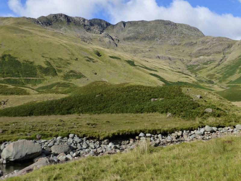
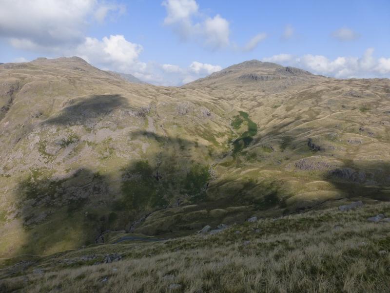
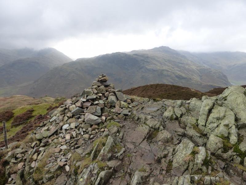
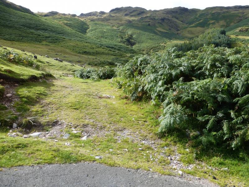
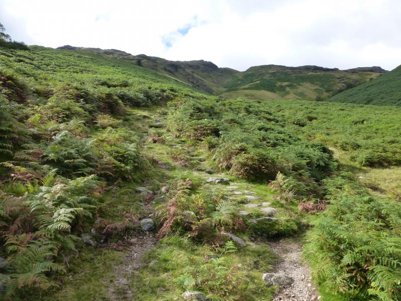
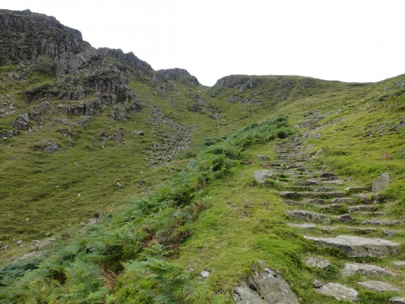
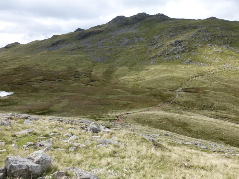
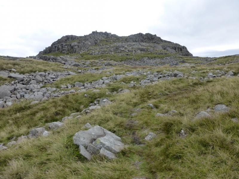
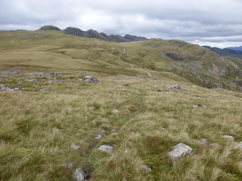
(1) Walk back to the main road and follow it up the valley then S past the entrance to Wall End where the road becomes quite steep. After about another 400 m, a path (unsigned) goes off right. Take this and follow it up, steep in places but it has been improved in recent years. Follow the path all the way up to what seems, from below, a shallow col but is actually the path becoming less steep. Continue and reach the final ascent up to Pike of Blisco. Three rocky grooves have to be negotiated. None is difficult but they can be slippery when wet. Soon reach the summit area where there are two cairned tops about 100 m apart. The more northerly top has a medium cairn which is the summit of Pike of Blisco, 705 m. The S top gives better views to Wetherlam, Great Carrs and Grey Friars.
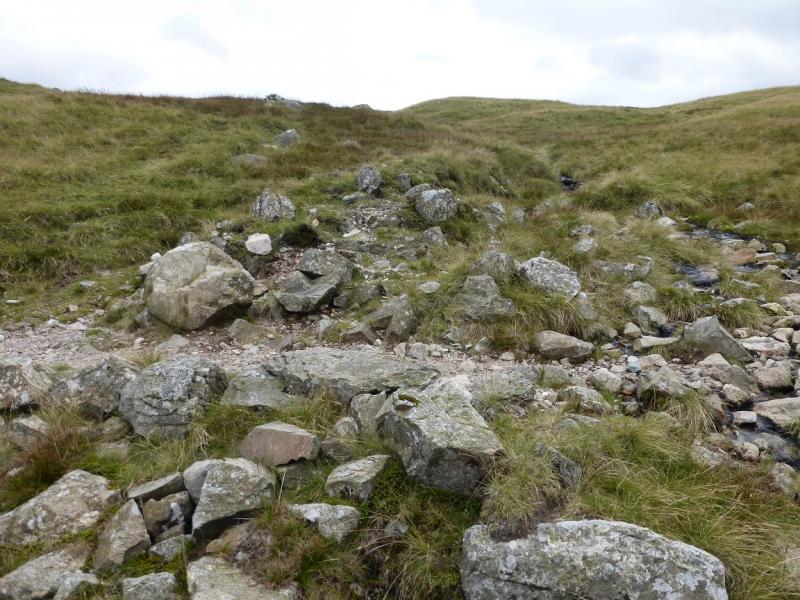
(2) Descend over 150 m, WSW, down a rough, stony path to reach a col, to the N of Red Tarn, where a much better path is joined. Continue up on the obvious path. When the gradient eases, near a large cairn, look for a very faint path going roughly S up grassy, often wet, terrain. Take this and soon reach the medium cairn which is the summit of Cold Pike, 701 m.
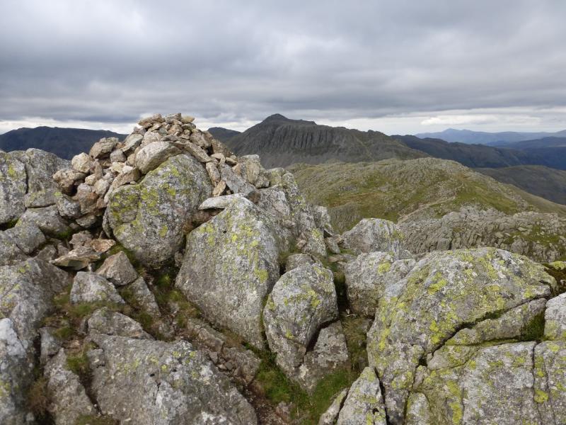
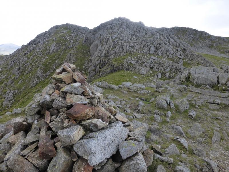
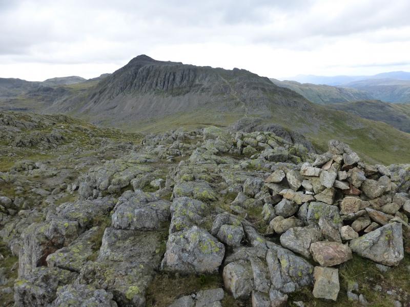
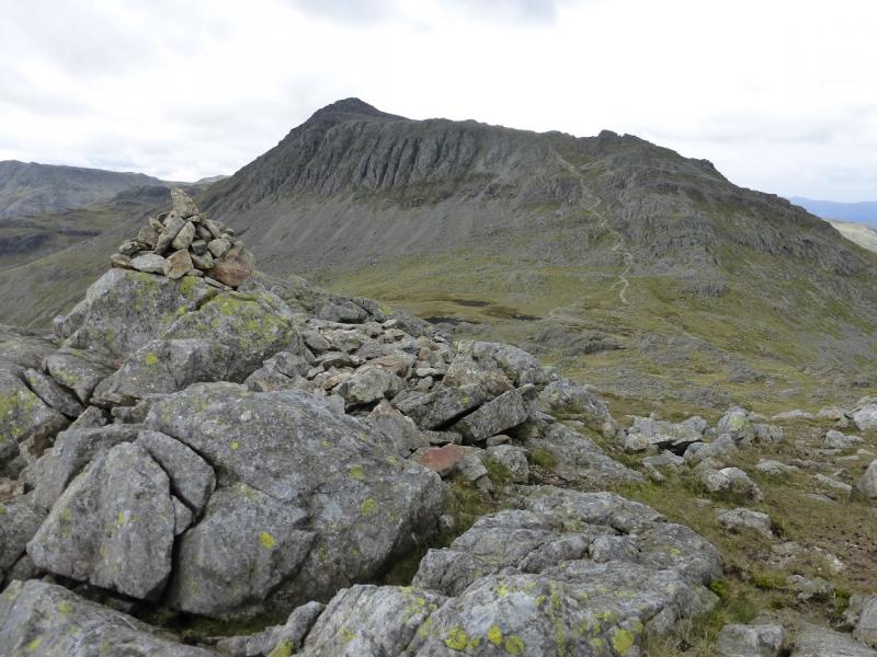
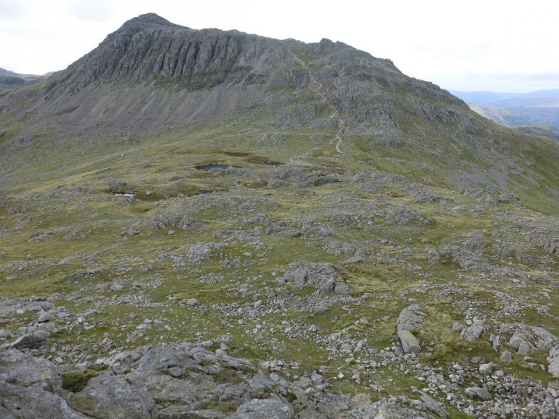
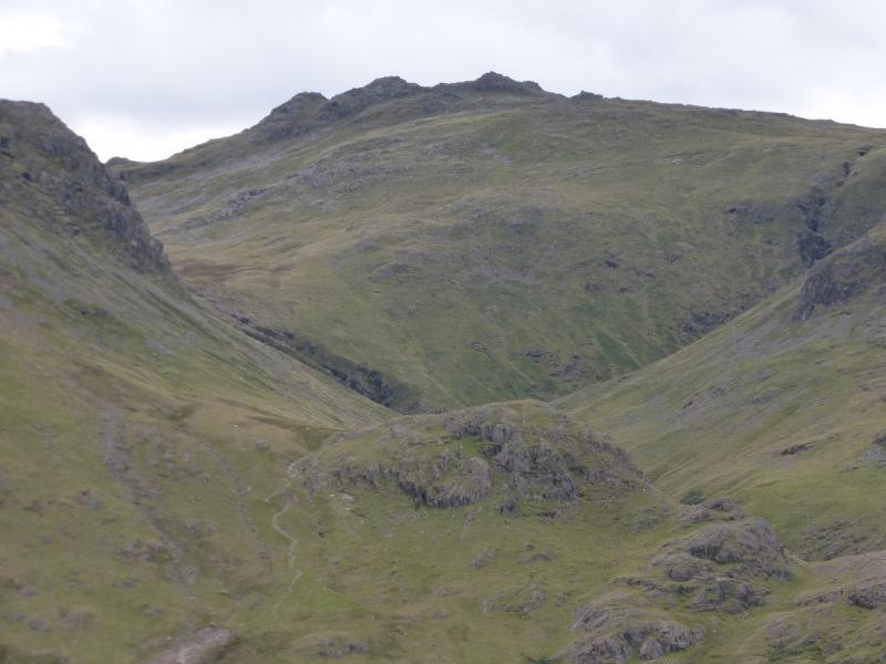
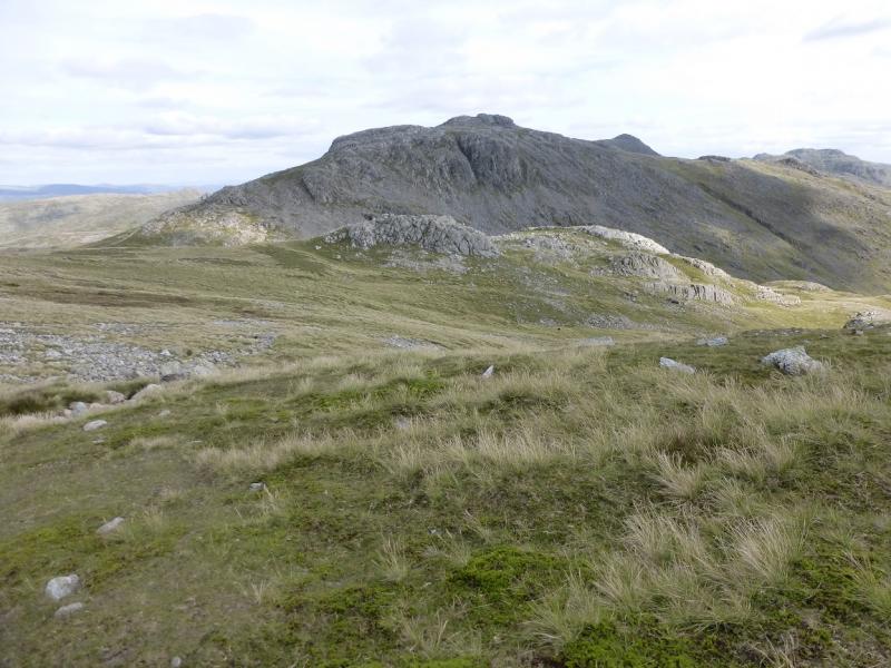
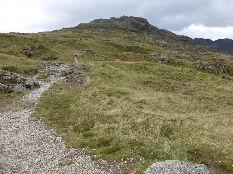
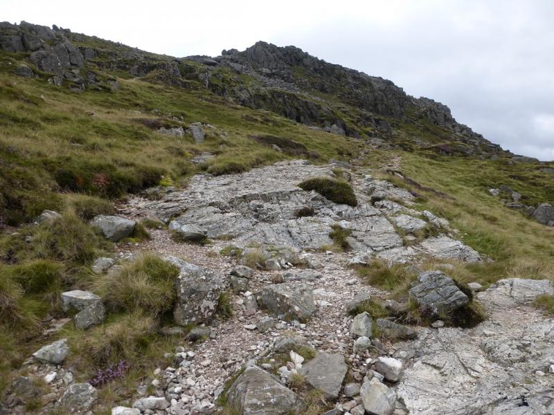
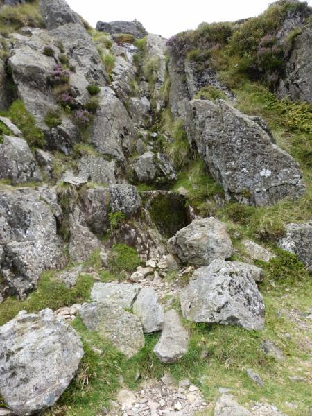
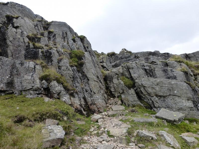
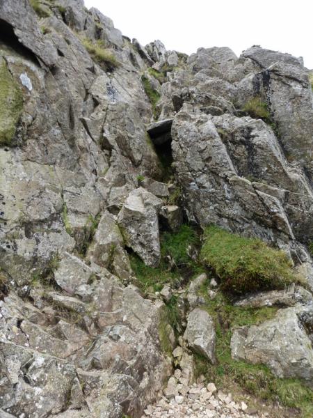
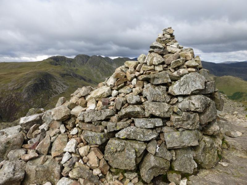
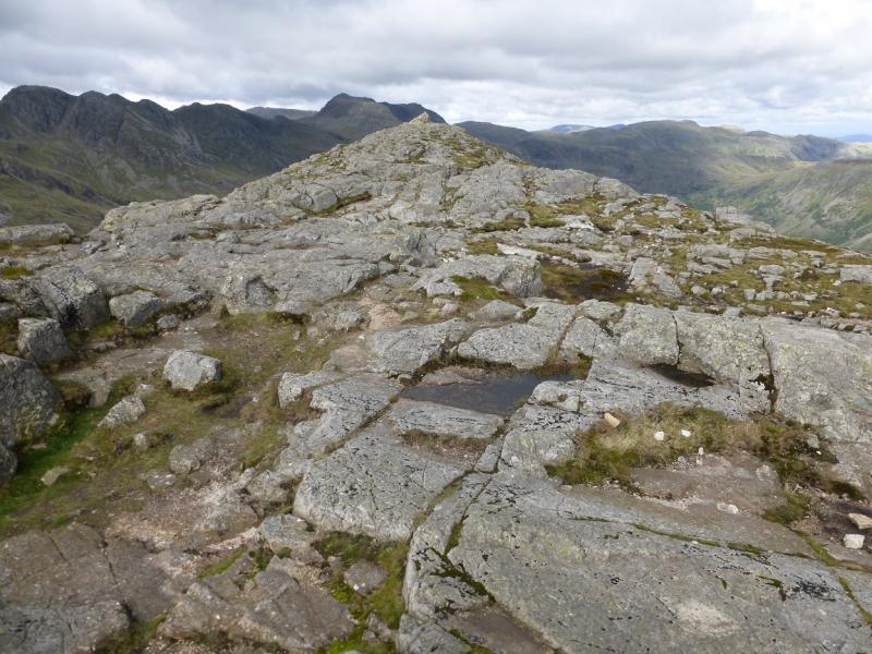
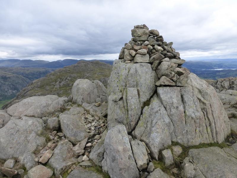
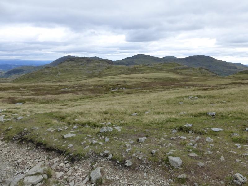
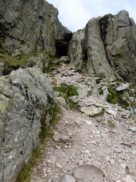
(3) Retrace to the main path heading for Crinkle Crags. A little more height will be lost than taking a more direct route but this is a quicker route. Follow the main and very main obvious path. This goes past Great Knott, which could be visited if wished, and climbs steadily to reach the first top of Crinkle Crags where there is a cairn. Continue along the rocky and undulating crest, descending to a col. Above here is an obvious gully with a flat chock stone giving it a “roof” and with a rock wall on the right side of the gully. The direct route goes up here and climbs the corner on the right. It is a short rock climb of about 3 – 4 m and is well within the reach of competent scramblers. After this, the way up is straightforward. To avoid this climb, the easiest route is to go left before entering the gully and follow the obvious path up. Another alternative is to go right at the bottom of the gully and pick a way carefully around to reach the gully well above the rock wall. This is not a scramble but hands may be needed. At the top, there is a large cairn which is the summit of Crinkle Crags (Long Top), 859 m.
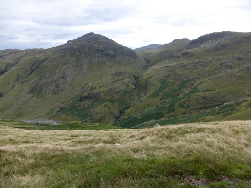
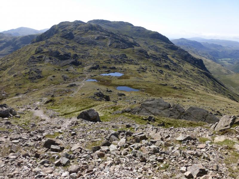
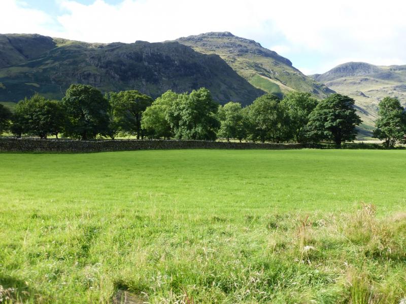
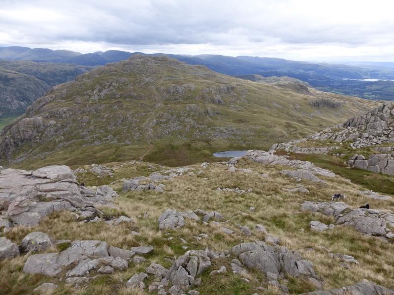
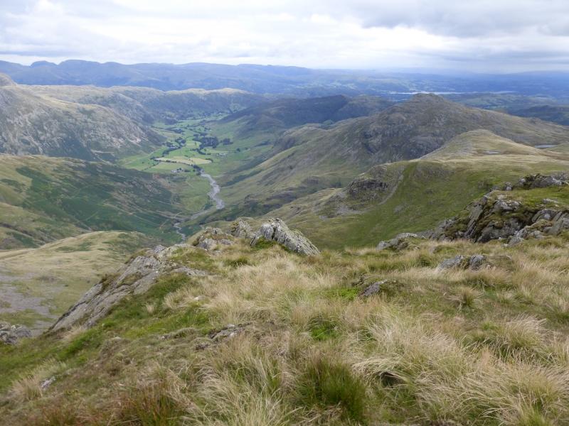
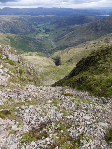
(4) Continue, roughly N, along the crest where there is a good but stony path. If every cairned top is climbed then there are six more making eight in all. From the last one, the col between Crinkle Crags and Bow Fell, known as Three Tarns, should be obvious. Descend to the col then turn right, on an obvious path, which leads down the ridge known as The Band. The upper section is stepped but the gradient eases before steepening again for the final descent to the farm at Stool End. Go through the farm following the footpath sign then follow the tarmac track back to the public road in Langdale. Turn left over an old bridge and reach Old Dungeon Ghyll.
Notes
(a) This walk took place on 3rd September, 2015.
Photos - Hover over photo for caption. Click on to enlarge. Click on again to reduce.


.JPG)
 from third top.JPG)