Get Lost Mountaineering
You are here: England » Lake District » 4 Southern Fells
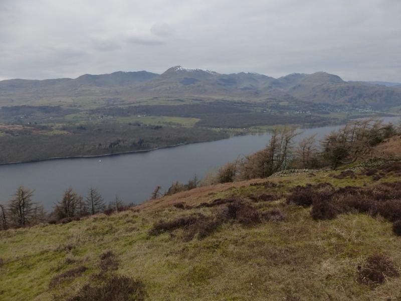
Wetherlam, Swirl How, Brim Fell, Coniston Old Man & Dow Crag from Coniston Village
Wetherlam, Swirl How, Brim Fell, Coniston Old Man & Dow Crag
from Coniston Village
Start/Finish
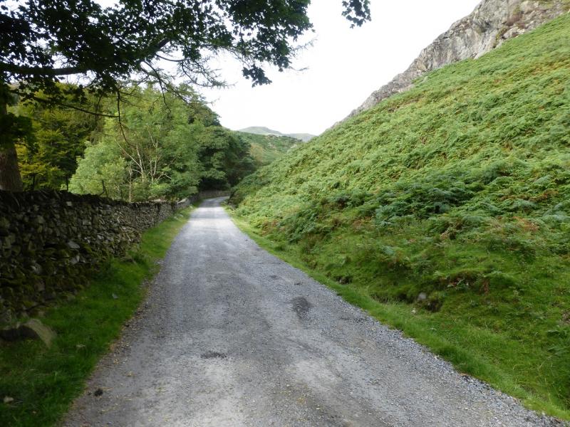
Coniston Village where free parking is fairly limited. There is some free parking up the Coppermines road which starts between the Black Bull and the Co-Op.
Distance/Time
19 km. About 7 - 8 hours.
Peaks
Wetherlam, 762 m, NY 288 011.
Swirl How, 802 m, NY 273 005.
Brim Fell, 796 m, SD 271 986.
Coniston Old Man, 803 m, SD 272 978.
Dow Crag, 778 m, SD 262 978. OL 6 South Western Lakes
Introduction
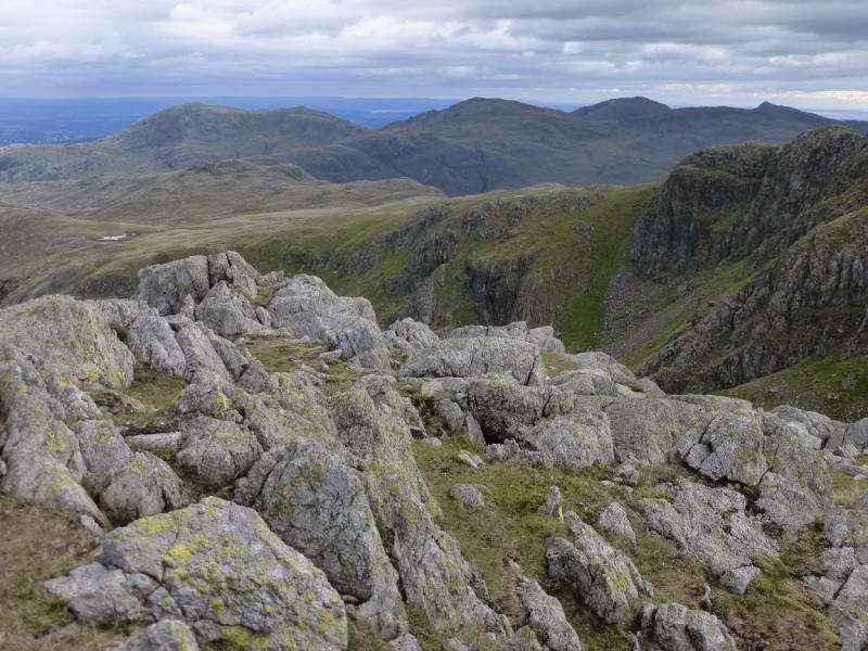
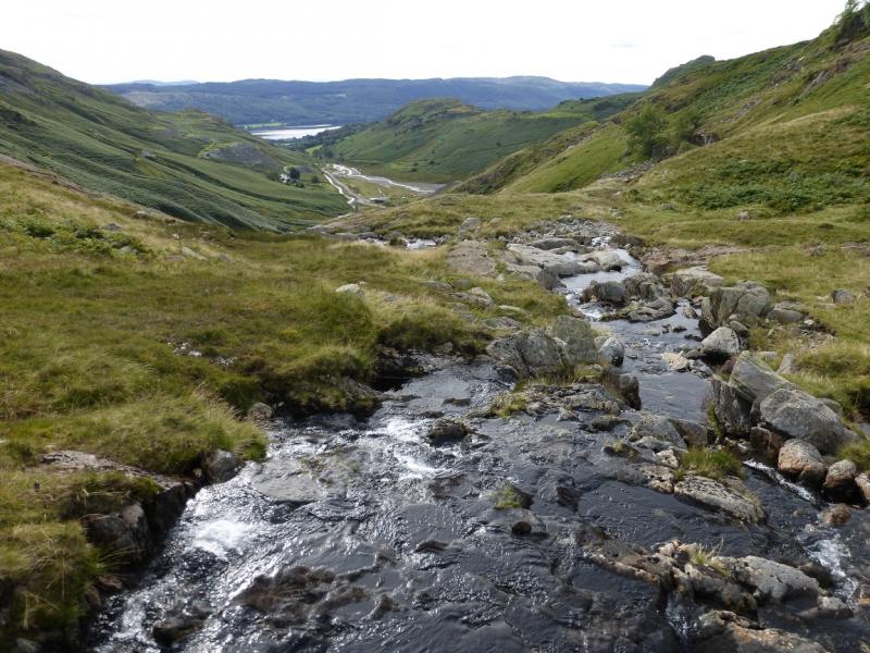
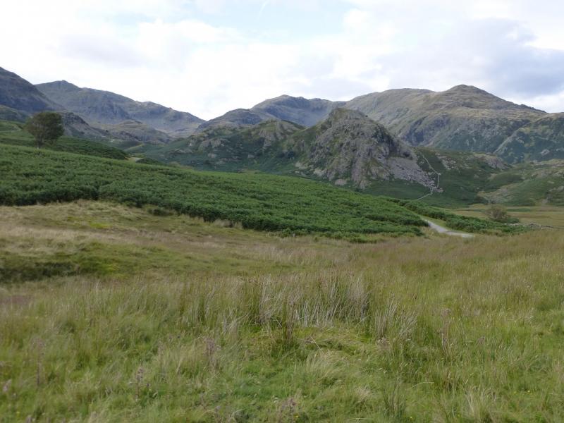
This is a tough walk which offers excellent views on a clear day to the Scafell range, Crinkle Crags, Bow Fell, Langdale Pikes and Helvellyn range as well as to the coast and Irish Sea where the Isle of Man can be seen on a very clear day. There is a choice of routes to Wetherlam but this route goes up the very quiet valley of Red Dell whose head lies between Black Sails and Wetherlam. The return comes down the Walna Scar road which is a public road lower down. If two cars are available, one could be left at the car park at the end of the public part of the Walna Scar road.
Route
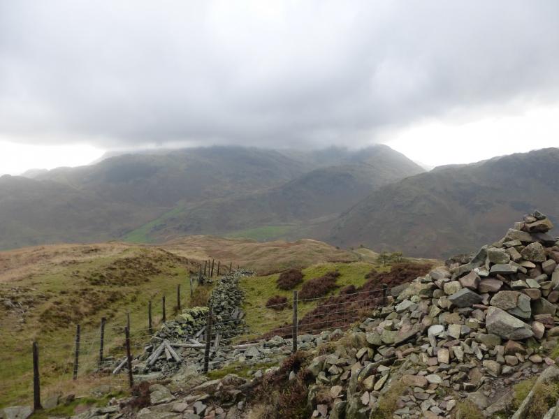
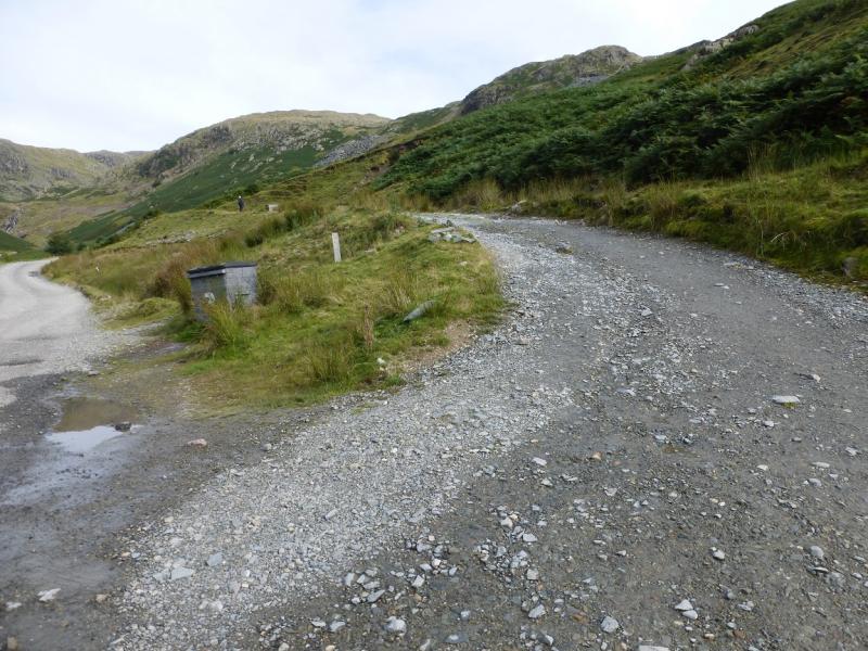
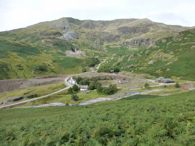
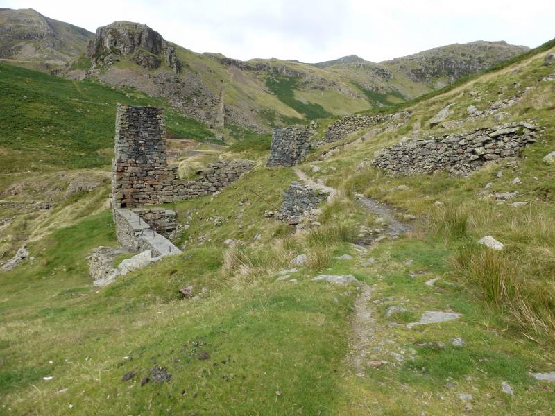
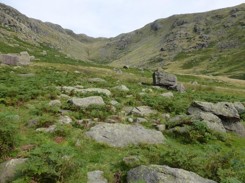
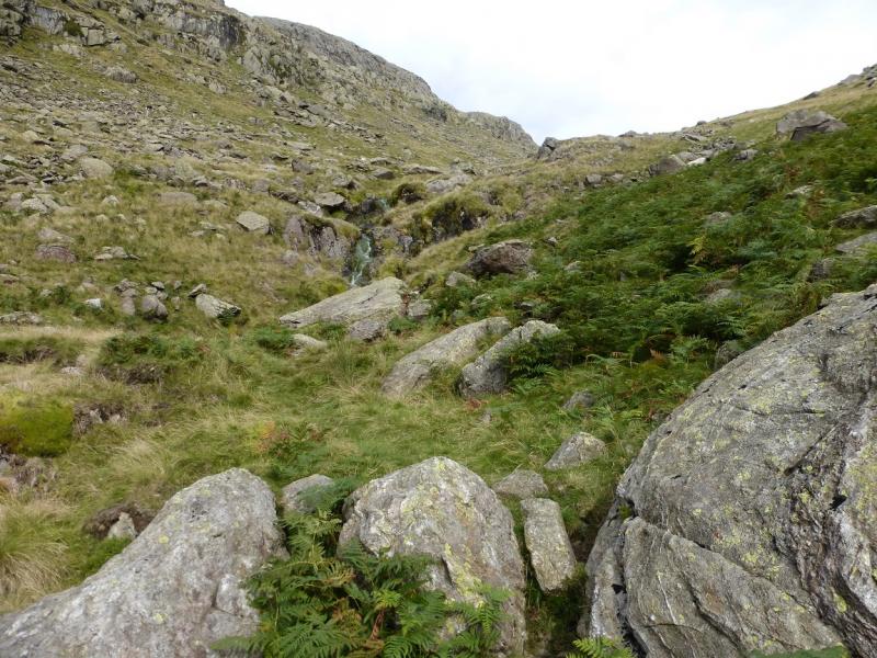
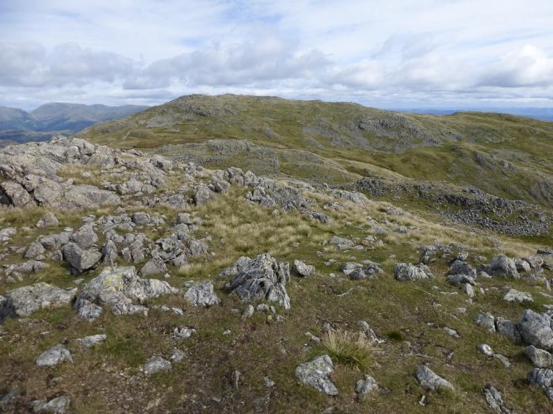
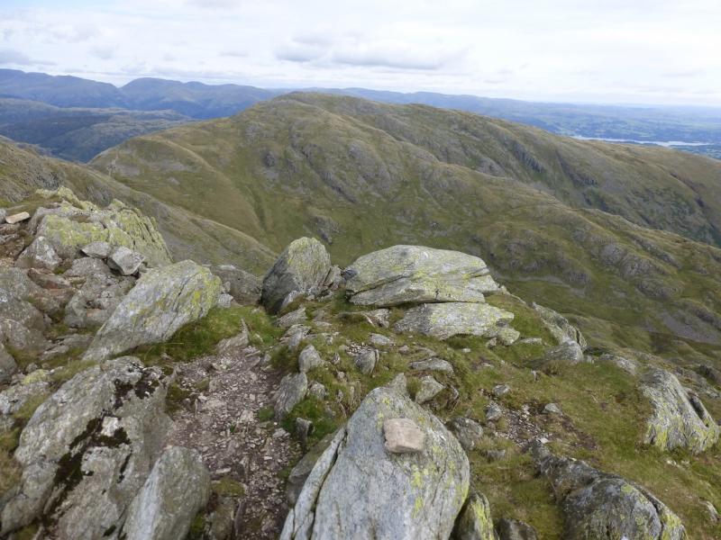
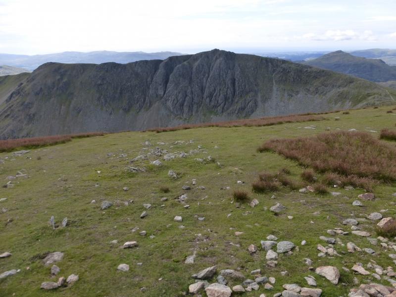
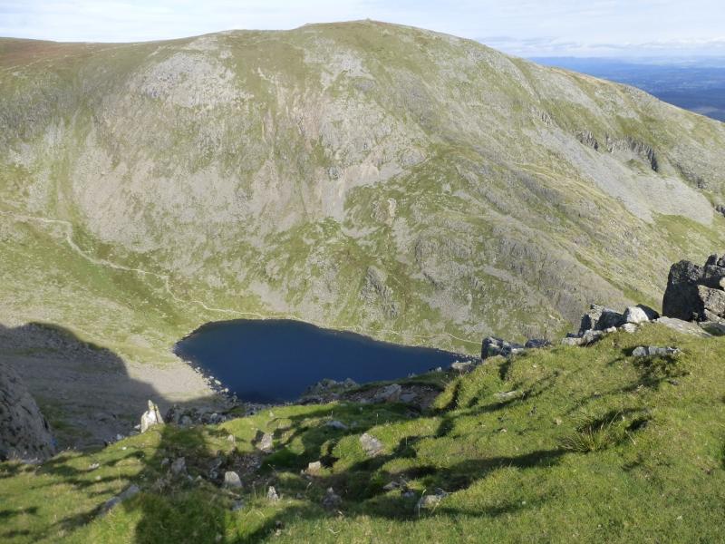
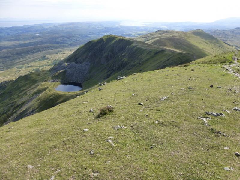
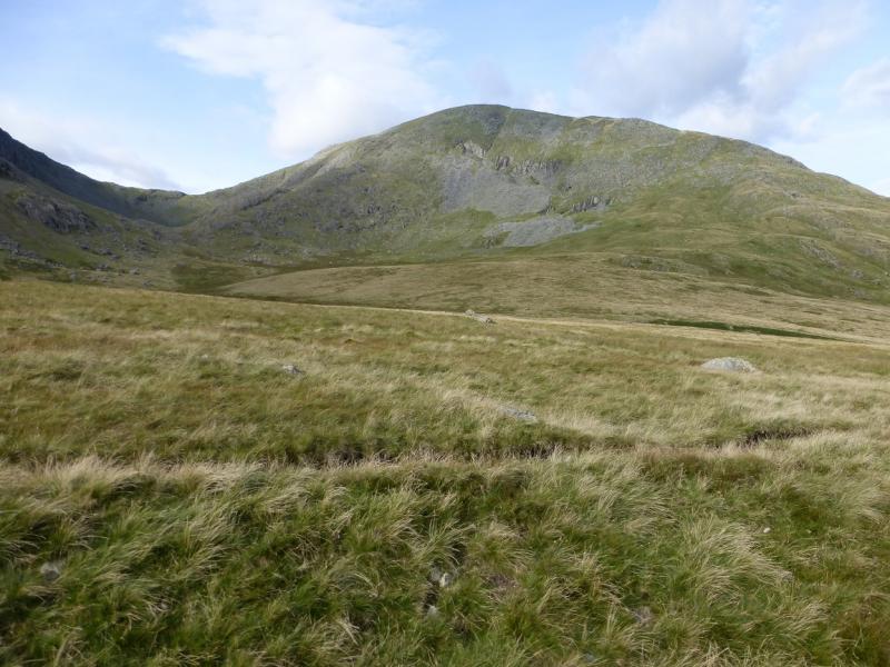
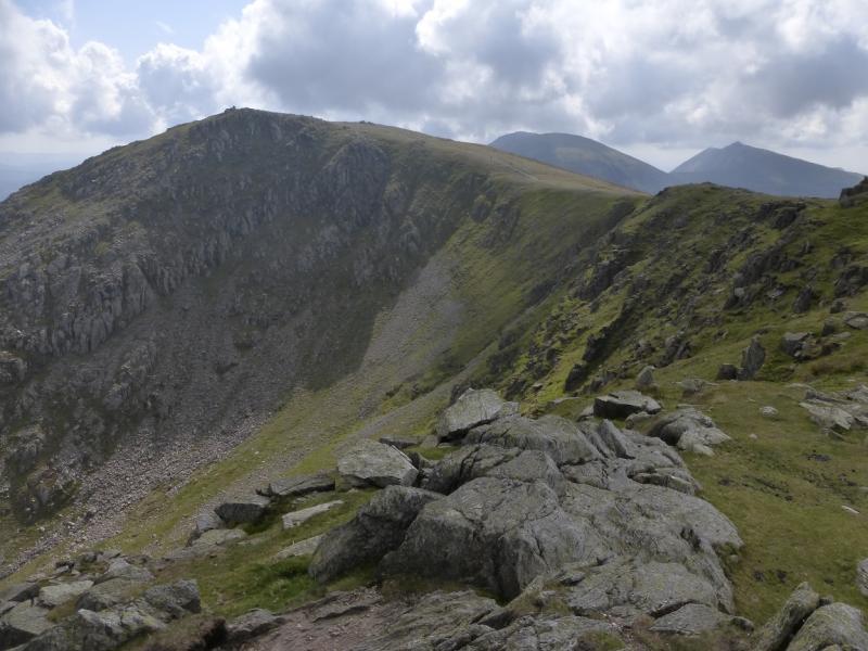
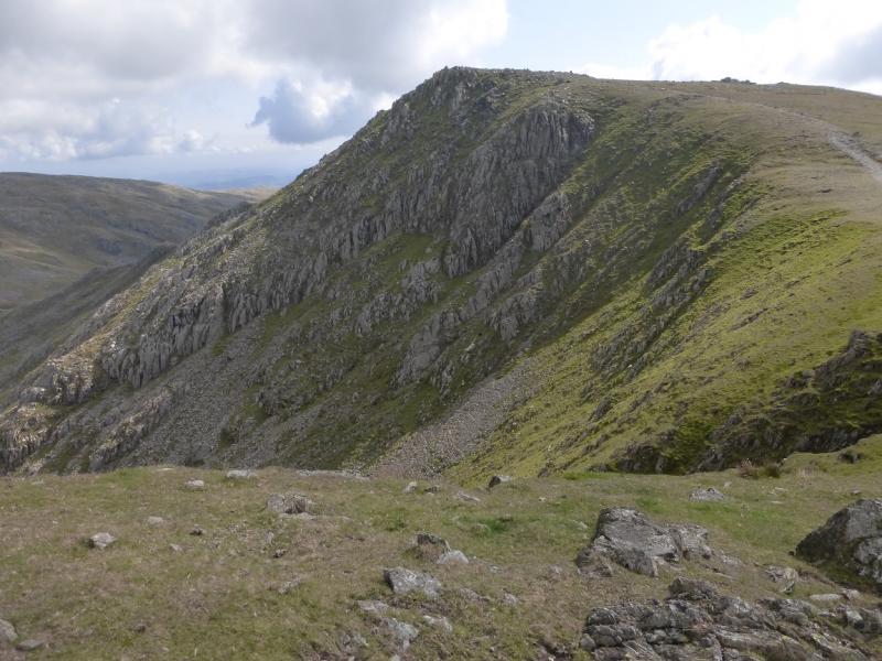
(1) Walk up the Coppermines road which soon becomes a track. After about another kilometre, a track forks off right. Follow this and continue above the Coppermines valley ignoring the track going right. This passes above all the buildings, including the Youth Hostel, before becoming fainter and turning N up the valley known as Red Dell. The path can be wet and faint in places but the valley is well defined. Higher up, the path becomes even fainter but does lead to Red Dell Head Moss which is the col between Wetherlam and Black Sails. It is possible to branch off to the right before here and pick a way up on to the flattish summit area where a wide but low cairn marks the summit of Wetherlam, 762 m. In mist, it is better to go to the col then take the obvious path to the summit.
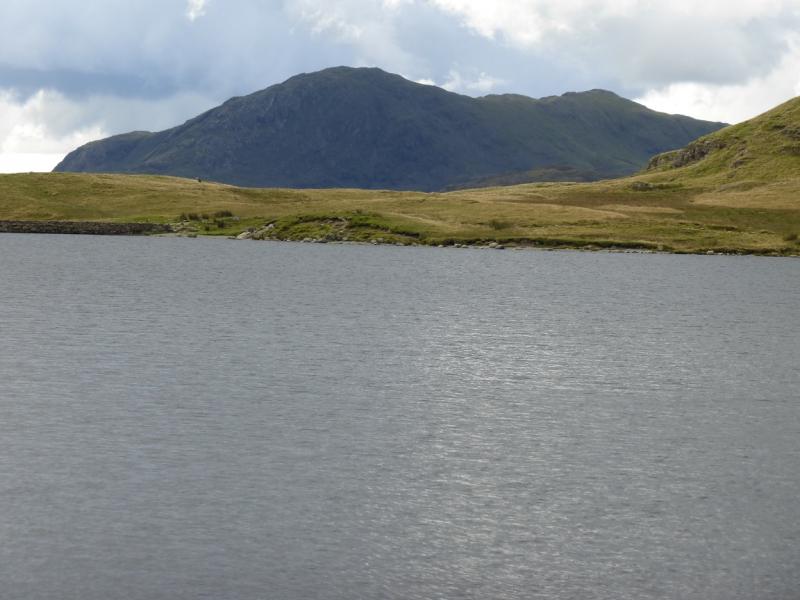
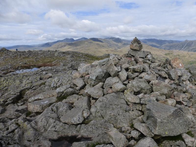
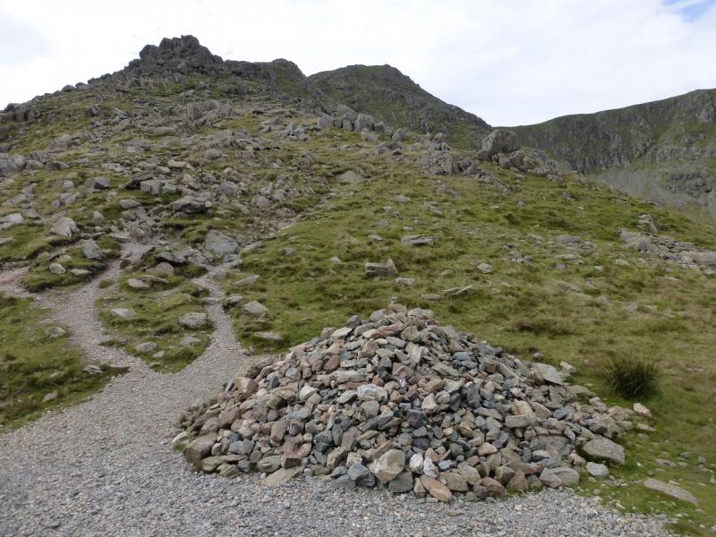
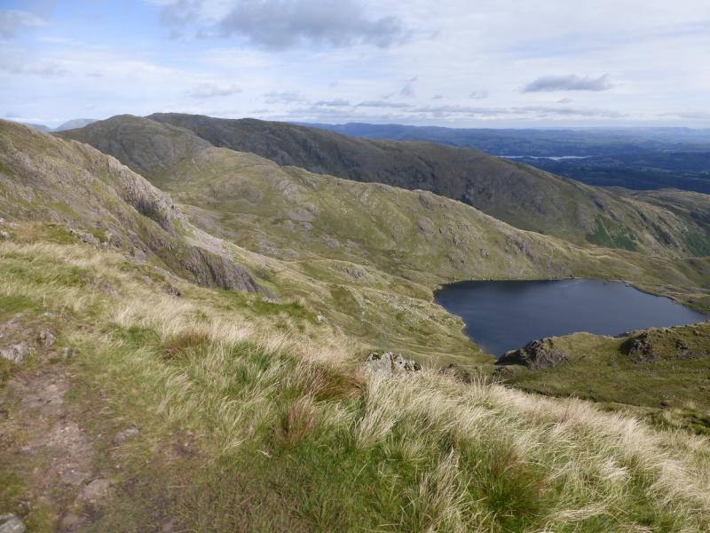
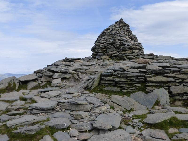
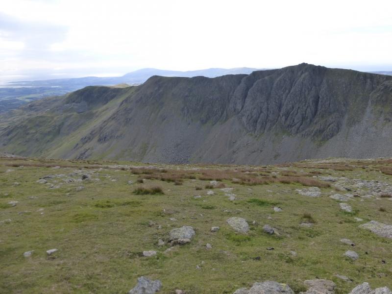
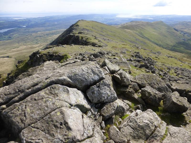
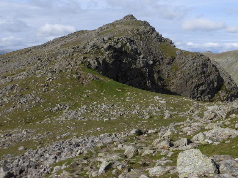
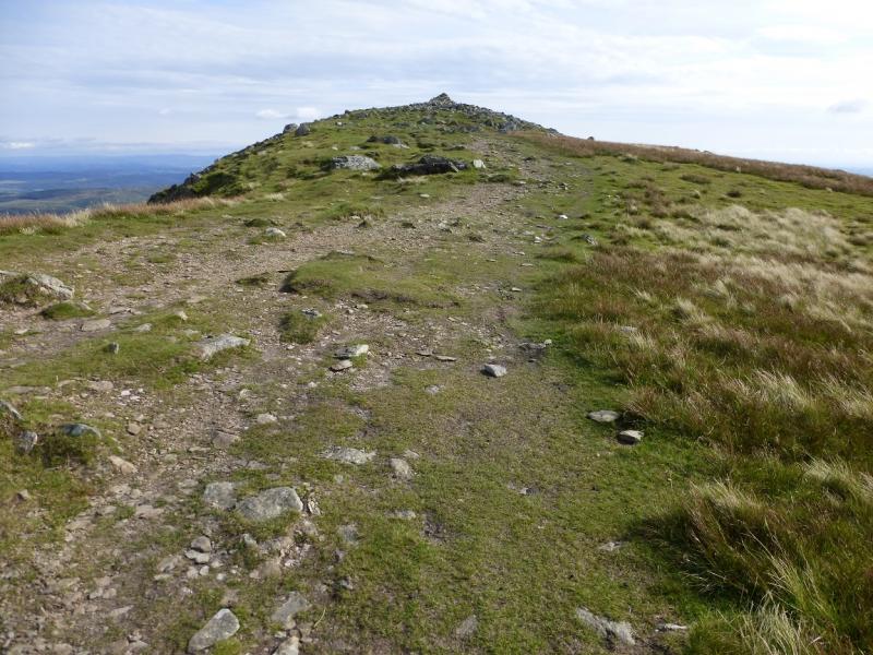
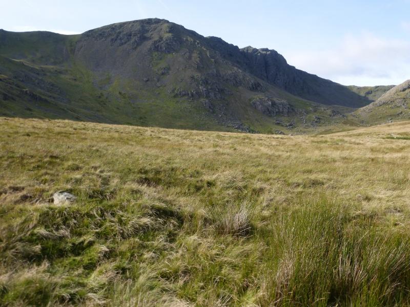
(2) Descend down the fairly obvious path, roughly W, to the col at the head of Red Dell then continue. In clear weather, it is worth making a short detour to Black Sails before returning to the path which continues down to the deep col of Swirl Hause where there is large cairn. Continue up the other side on a ridge known as Prison Band which is quite rocky but there are many path options. Eventually, reach a large, tall and well made cairn which is the summit of Swirl How, 802 m.
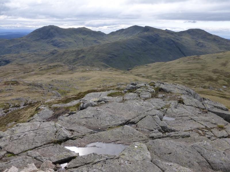
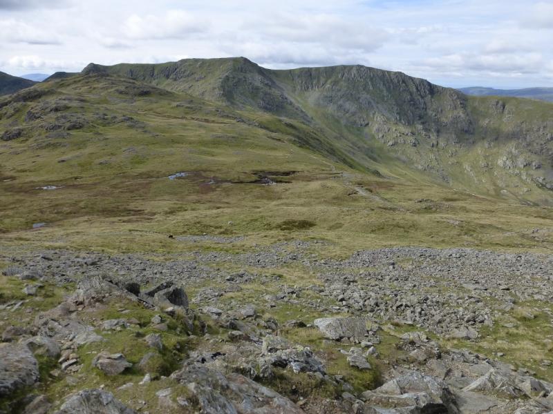
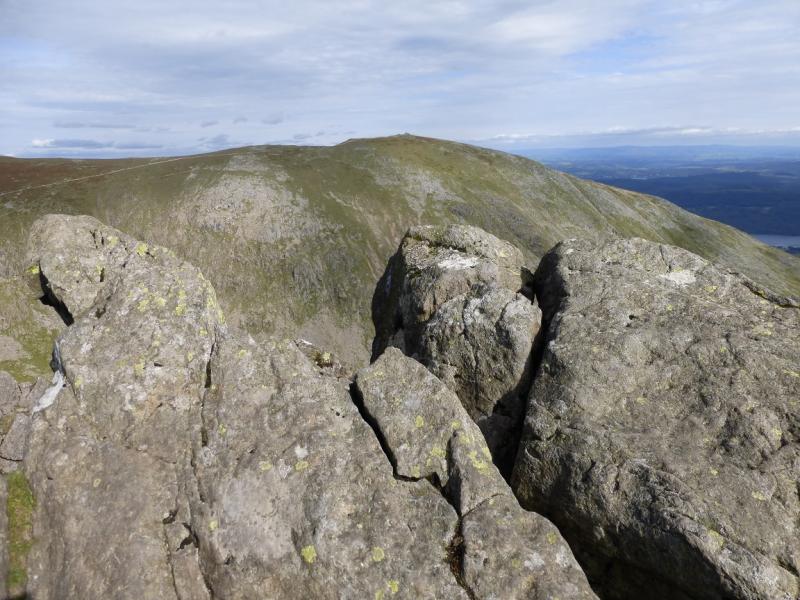
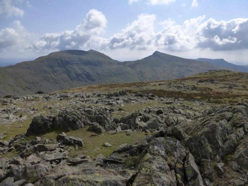
(3) Walk S, descending gently at first, on an obvious path which leads down to the well defined col of Levers Hause. Continue ahead and ascend to the large cairn on the flat top of Brim Fell, 796 m.
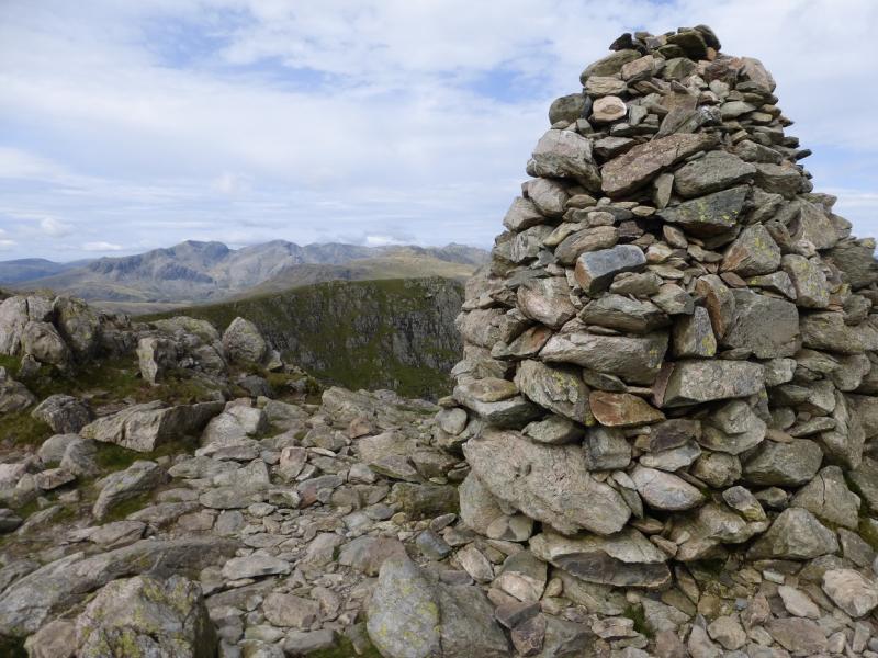
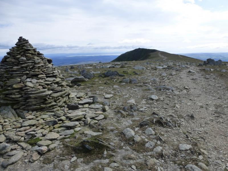
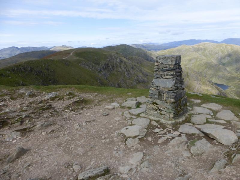
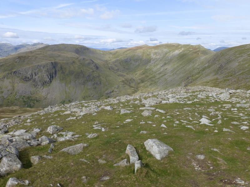
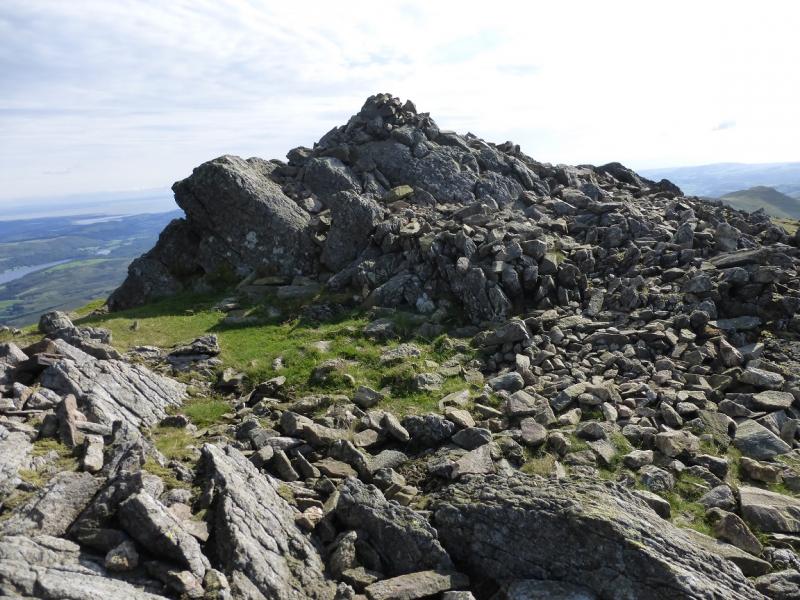
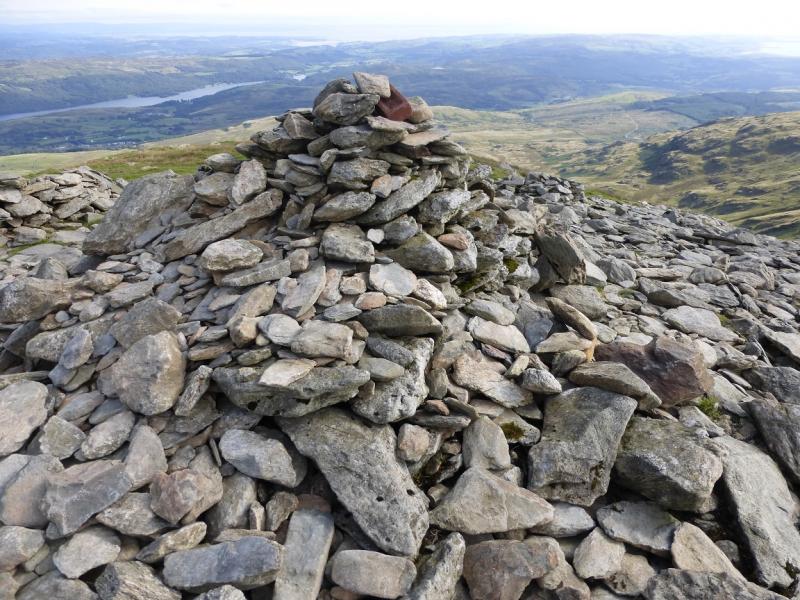
(4) Continue along the crest, with little descent, to reach the very large cairn and trig point of Coniston Old Man, 803 m. This is the name most people use but its proper name is The Old Man of Coniston.
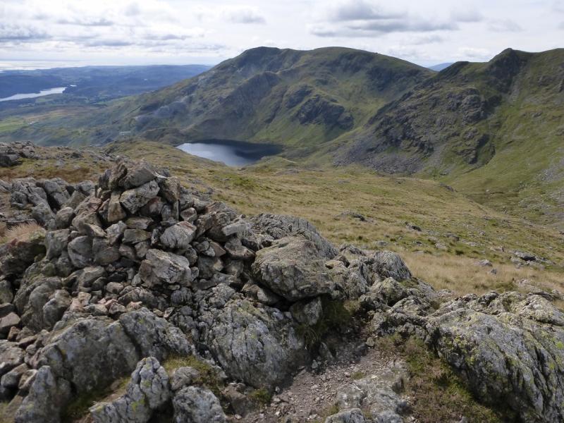
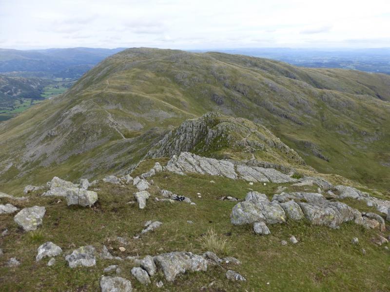
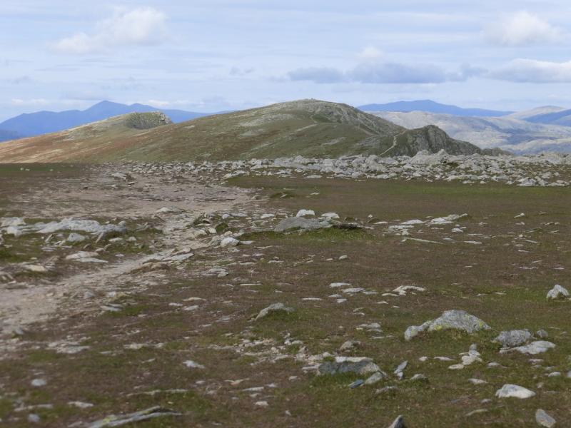
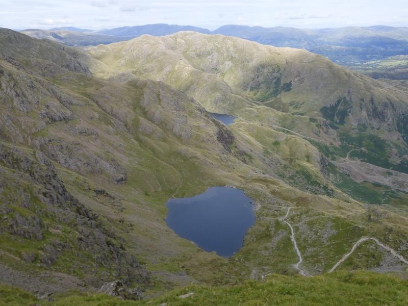
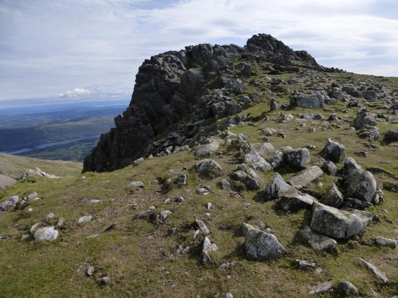
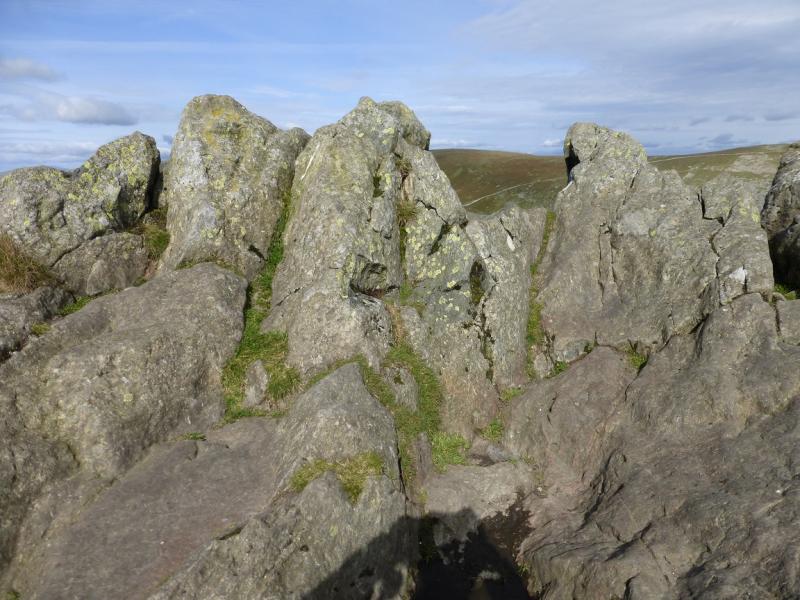
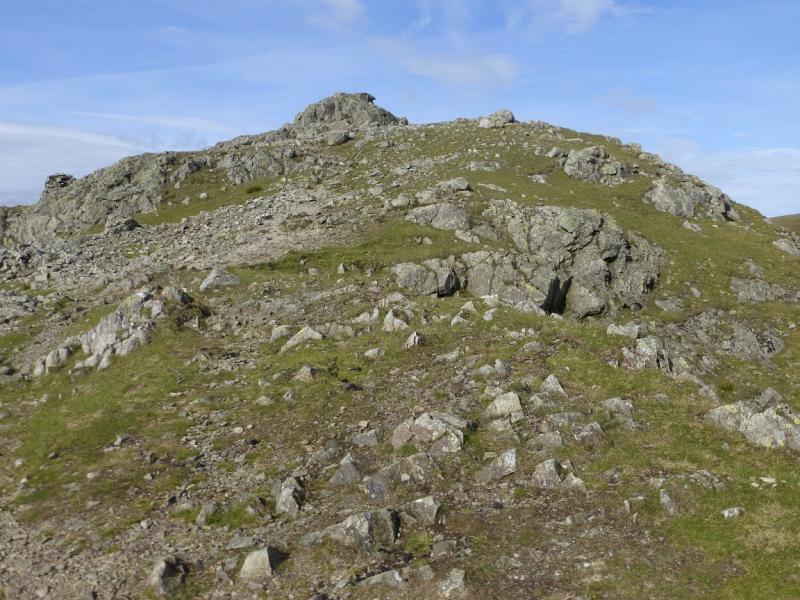
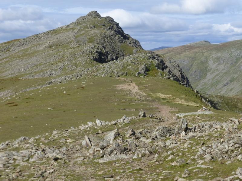
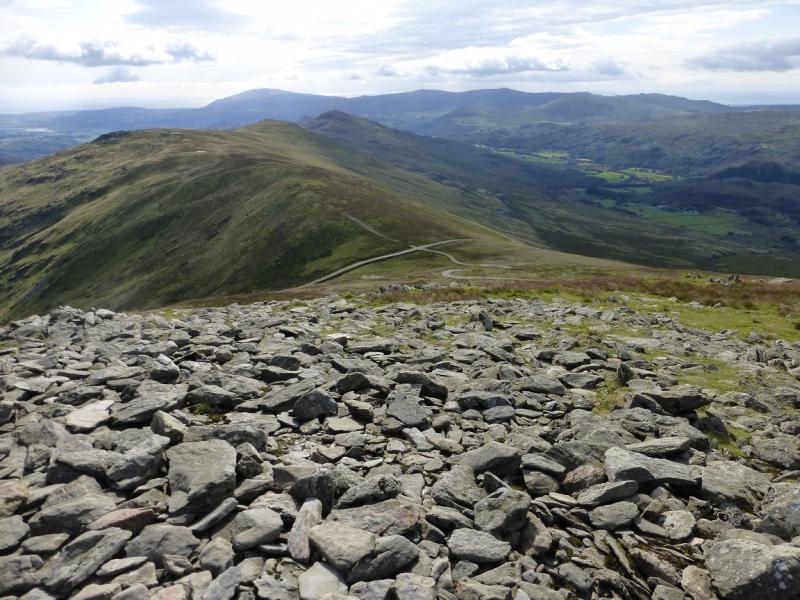
(5) Retrace towards Brim Fell but keep left and follow the obvious path NW, curving round to W, which descends to Goat's Hause. Continue up the other side. The path is faint in places because of the stony ground. The highest outcrop, which has no cairn, is the summit of Dow Crag, 778 m. Care is needed around the top as there are many large boulders with gaps between.
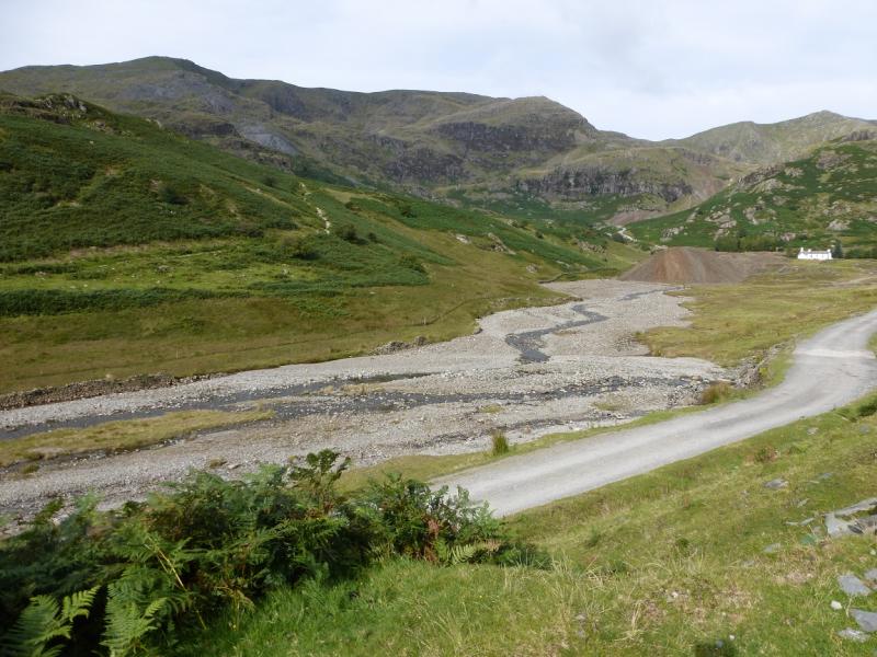
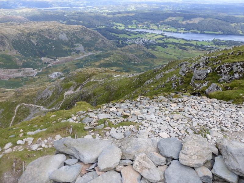
(6) Descend down the S ridge where there is a good and obvious path once clear of the summit boulders. Pass over Buck Pike, 744 m, then Brown Pike, 682 m. Both tops are cairned and there is also a shelter cairn on Brown Pike. If it is clear, the top of the Walna Scar road will be obvious, otherwise descend WSW to pick up a very good path which zig-zags down to the “road”. Walk down the Walna Scar road for over 3 km to reach the public road (where a second car might be left) then it is over a kilometre to the centre of Coniston village.
Notes
(a) This walk took place on 4th September, 2015.
Photos - Hover over photo for caption. Click on to enlarge. Click on again to reduce.