Get Lost Mountaineering
You are here: England » Lake District » 4 Southern Fells
Scafell Pike via Rossett Gill, Great End, Ill Crag & Broad Crag from Langdale
Scafell Pike via Rossett Gill, Great End, Ill Crag & Broad Crag
from Langdale
Start/Finish
Old Dungeon Ghyll at the end of Langdale. Turn right into the hotel where there are two car parks. The first (on the right) is owned by the hotel at £3 per day in 2015. Just past this car park and not at all obvious at first is the National Trust car park at £6.50 per day but free to National Trust Members.
Distance/Time
22 km. About 7 - 8 hours.
Peaks
Great End, 910 m, NY 227 084.
Ill Crag, 935 m, NY 223073. (not a Wainwright)
Broad Crag, 930 m, NY 219 076. (not a Wainwright)
Scafell Pike, 978 m, NY 216 072. OS 90 Penrith & Keswick. OL6 South Western Lakes
Introduction
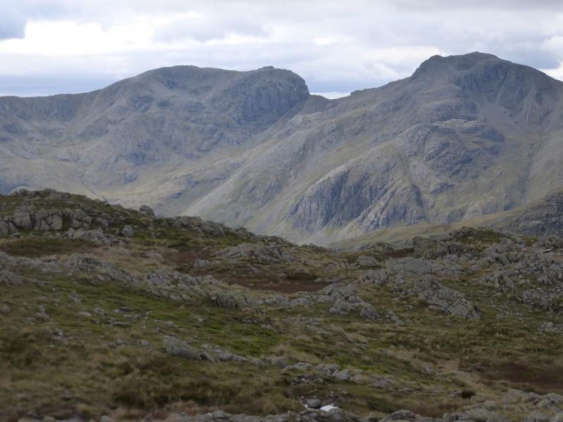
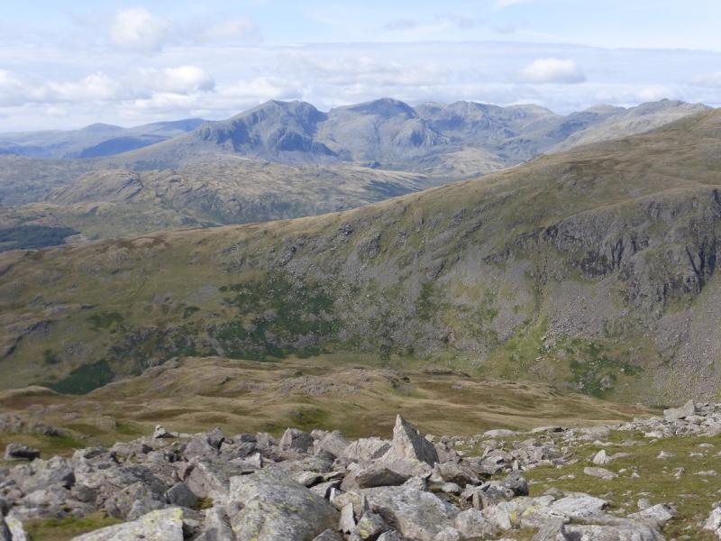
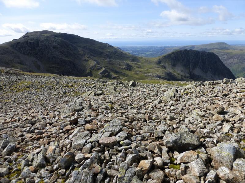
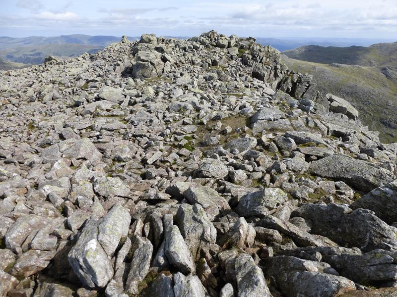
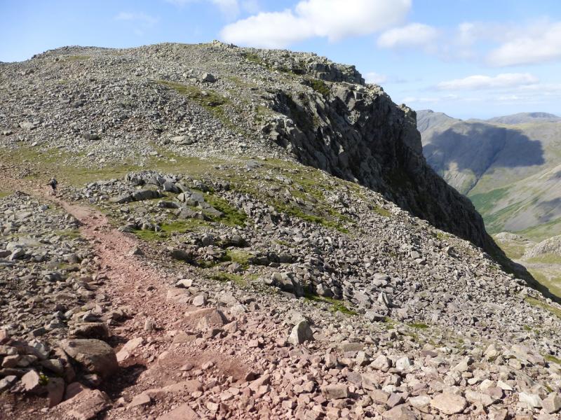
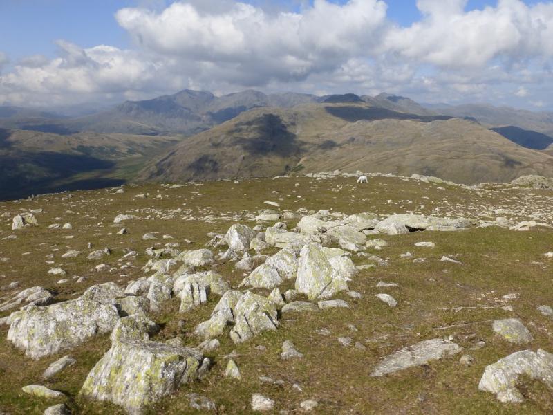
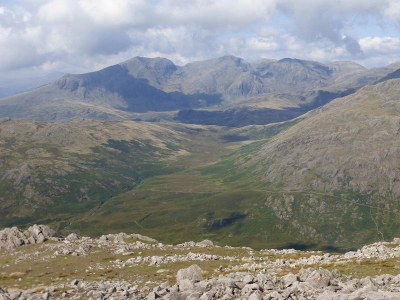
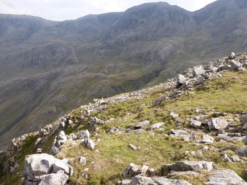
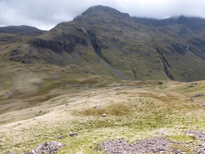
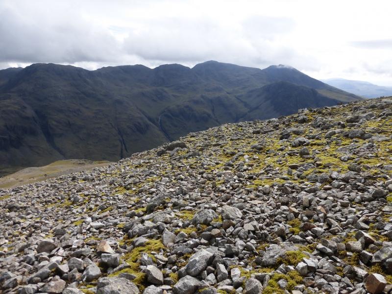
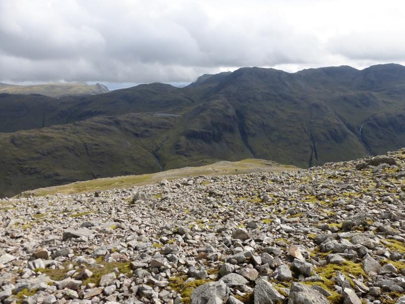
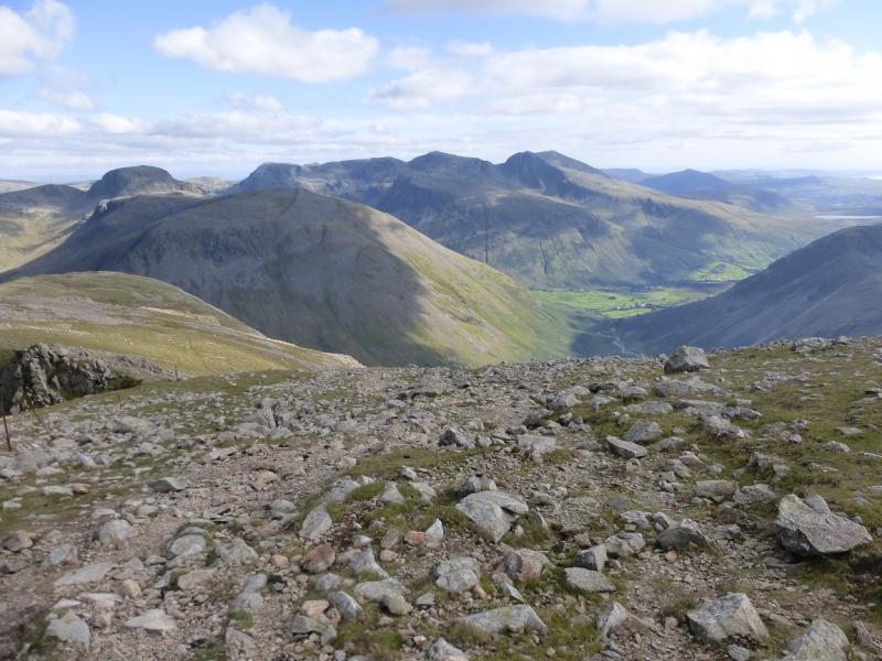
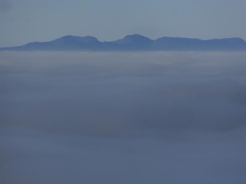
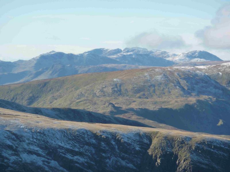
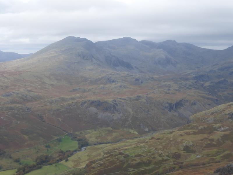
This is a tough walk to England's highest summit. It is made tougher by much of the Scafell Pike crest being boulder fields and the ups and downs of the route. On the outward route, there are four significant downhill sections which lose height. This means there are four significant uphill sections on the return which is by the same route. These uphill sections are near Broad Crag, near Ill Crag and two near Angle Tarn. Some will not appreciate these uphill sections on the return. The Rosset Gill path is rough and stony in places and not that pleasant to descend. Those wishing the easiest ascent of Scafell Pike should use the tourist route from Wasdale Head which has been uploaded separately. Navigation is difficult on the Scafell Pike crest in mist and on the rest of the route under snow. Having said all that, the views are superb on a clear day and most of the principal peaks in the Lake District are visible with Great Gable being especially prominent. The Isle of Man is visible on a very clear day. The view down from Great End to Sprinkling Tarn and Seathwaite Fell is particularly pleasing to the eye.
Route
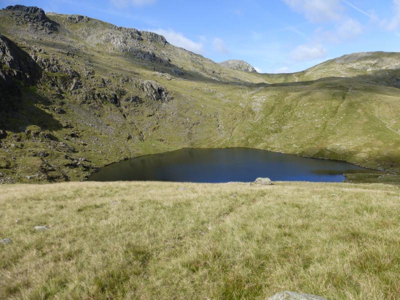
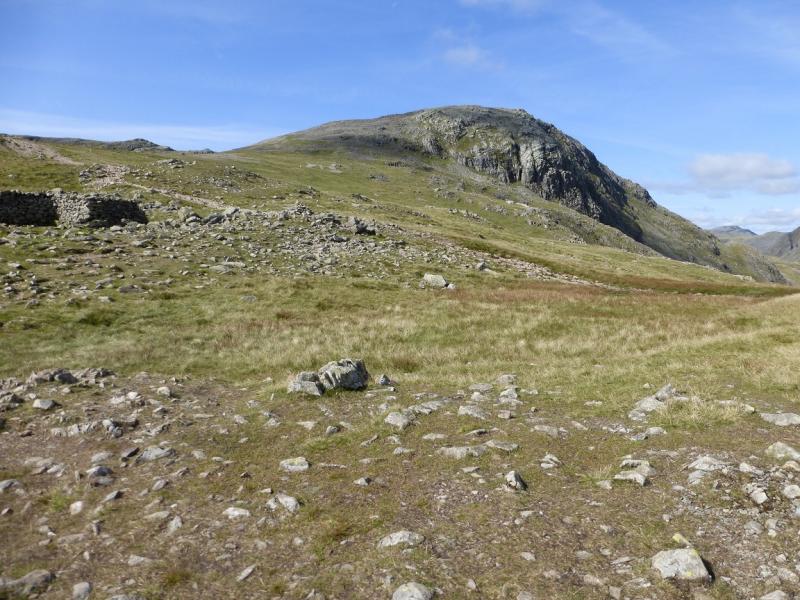
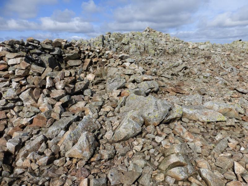
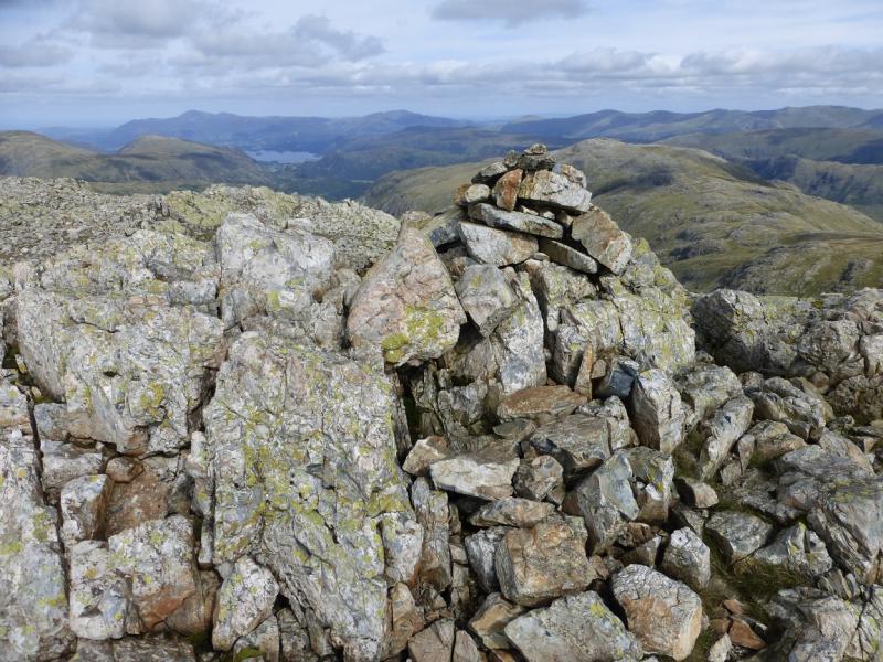
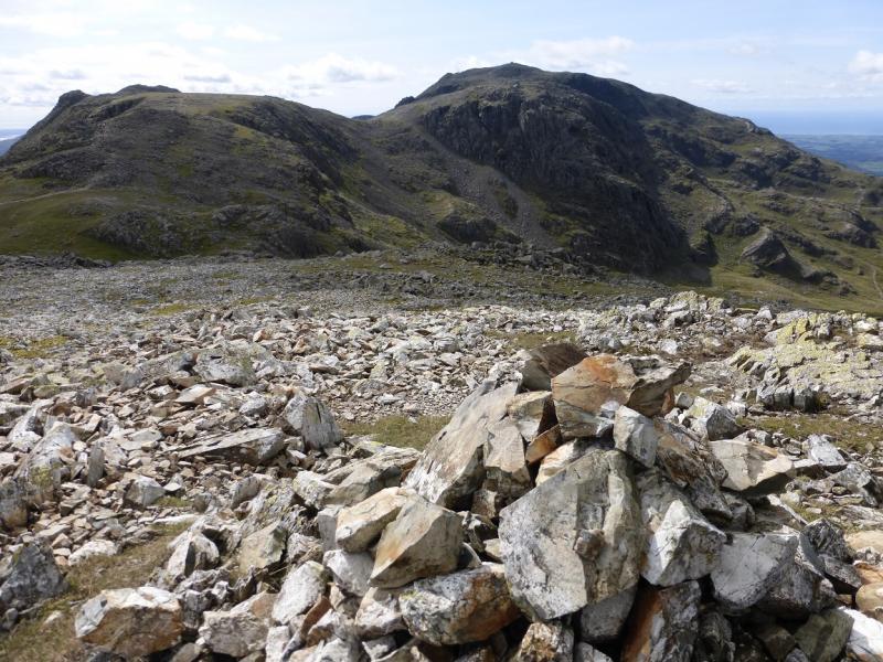
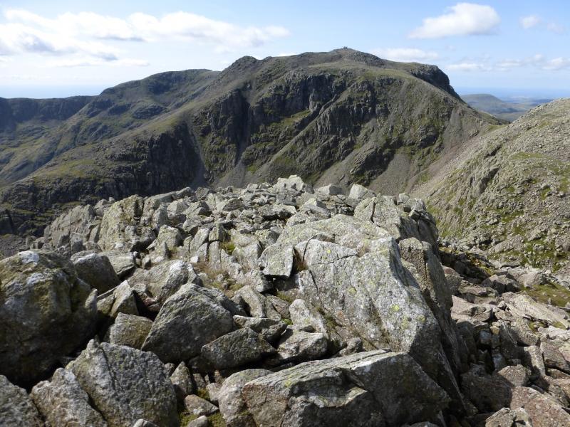
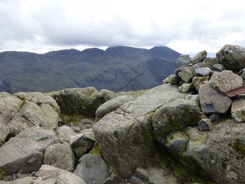
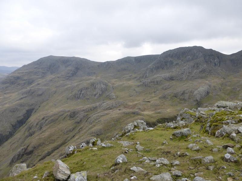
(1) Walk around the back of the hotel and follow the path W which leads along Mickleden and soon turns NW. After about 3 km, the path splits. Take the left fork, across a simple bridge, and follow the obvious path up Rossett Gill. Higher up, there is a large dog leg to the left before the col is reached to the W of Rossett Pike. Soon after, Angle Tarn is visible. The path now descends to the tarn then ascends up to a brow before descending then ascending to Lower Esk Hause below the S end of Allen Crags. Turn SW and ascend to Esk Hause where the path goes W to climb on to the Scafell Pike crest which stretches from Scafell Pike to Great End. Just before the path reaches the crest, a minor path goes off right. Follow this and continue up on to the Great summit plateau which can be very confusing in mist. There are 3 cairns. The SE one, on a boulder, seems to be the highest so this is the summit of Great End, 910 m. The best view of Sprinkling Tarn is just to the W of here on the edge.
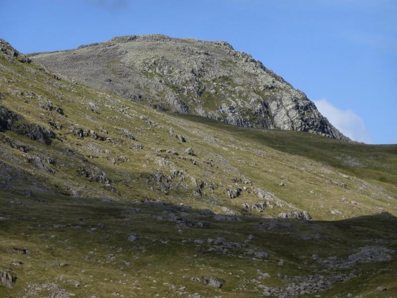
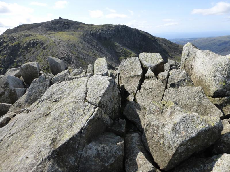
(2) Retrace towards the main path for Scafell Pike and follow this up. When it crosses a level section to the W of Ill Crag, leave the path and walk over stony ground then ascend a short bouldery slope to reach a small cairn which is the summit of Ill Crag, 935 m. There is a lower top about 40 m to the S which gives a better view of Scafell Pike.
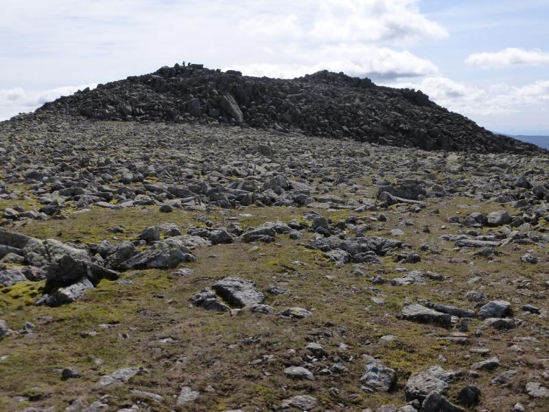
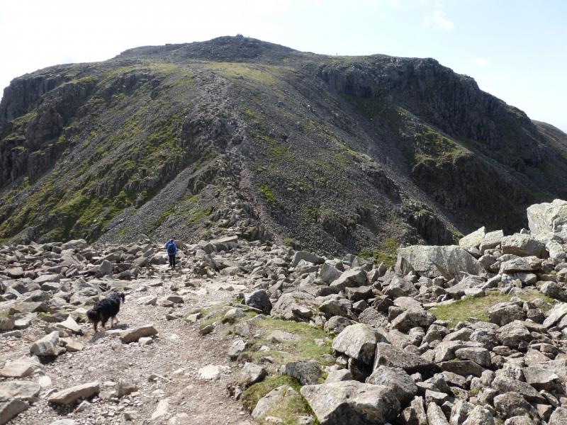
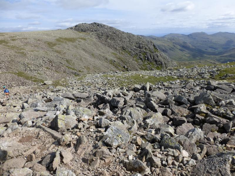
(3) Retrace to the main path and continue towards Scafell Pike. Descend into a dip then ascend out. Leave the path and go up the ground on the right, W. This can be quite bouldery. Reach the highest point which is the summit of Broad Crag, 930 m. There is no cairn.
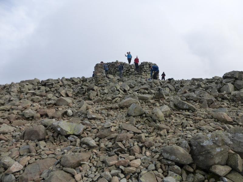
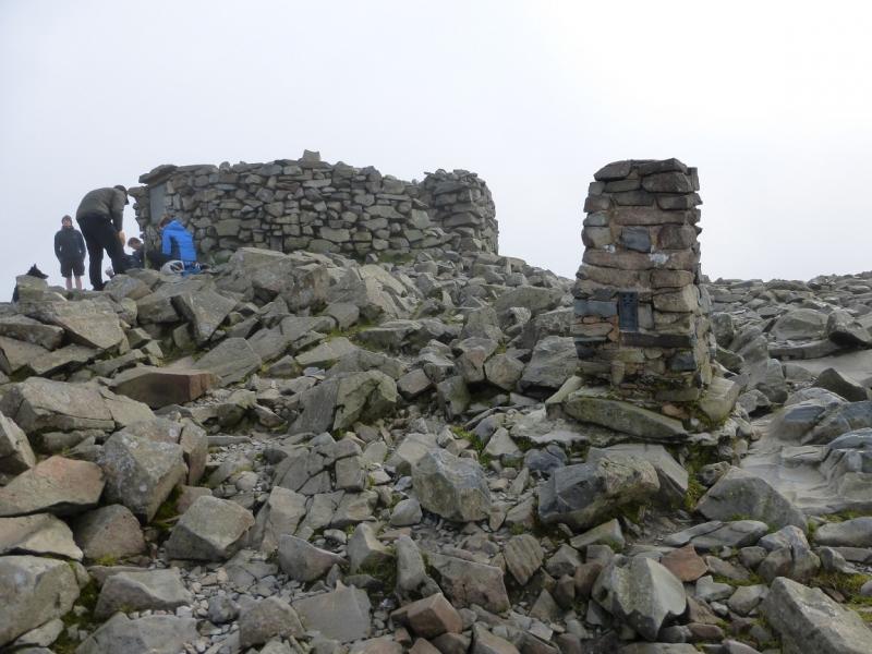
(4) Rejoin the main path and follow it down into another dip. It then leads up a rocky slope with scree and some small boulders to reach the trig point and huge cairn which is the summit of Scafell Pike, 978 m.
(5) Retrace to Esk Hause staying on the main path which has many cairns to guide one through the boulder field sections. Descend to Lower Esk Hause then go ESE on the Angle Tarn path and follow this past Angle Tarn to the top of the Rossett Gill path which can be followed down to Mickleden and then to the start.
Notes
(a) This walk took place on 5th September, 2015.
Photos - Hover over photo for caption. Click on to enlarge. Click on again to reduce.
.JPG)