Get Lost Mountaineering
You are here: England » Lake District » 4 Southern Fells
Great Carrs, Swirl How & Grey Friar from top of Wrynose Pass
Great Carrs, Swirl How & Grey Friar
from top of Wrynose Pass
Start/Finish
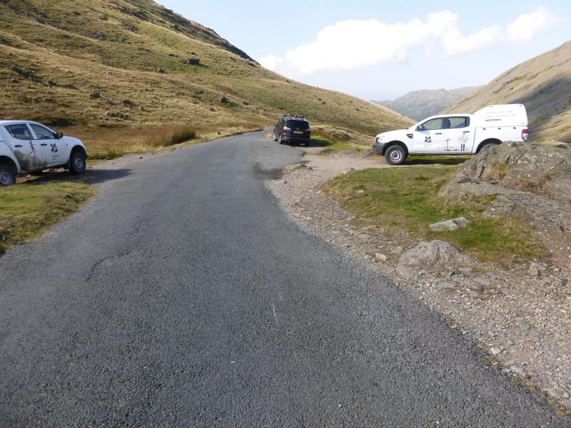
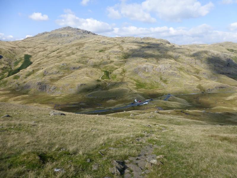
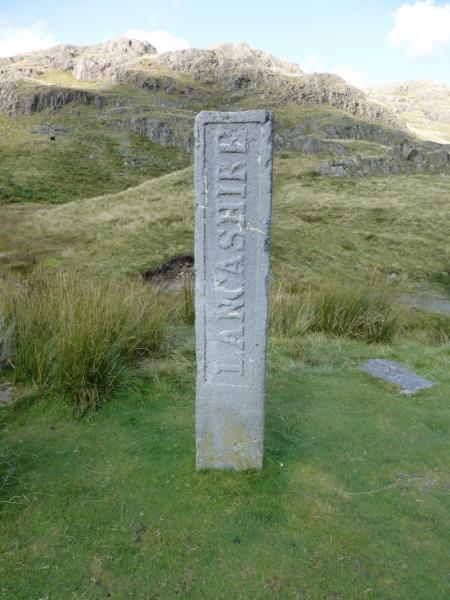
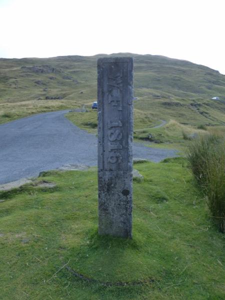
Top of Wrynose Pass which is usually reached from Little Langdale which is off the Ambleside to Coniston road. The pass is very steep and passing can be difficult. It is not gritted in winter so may be closed in winter conditions.. There is limited parking at the top with more parking opportunities lower down on the Little Langdale side.
Distance/Time
8 km. About 4 - 5 hours
Peaks
Great Carrs, 780 m, NY 270 009.
Swirl How, 802 m, NY 273 005.
Grey Friar, 770 m, NY 260 004.
OS Sheet 90: Penrith & Keswick. OL 6 South Western Lakes.
Introduction
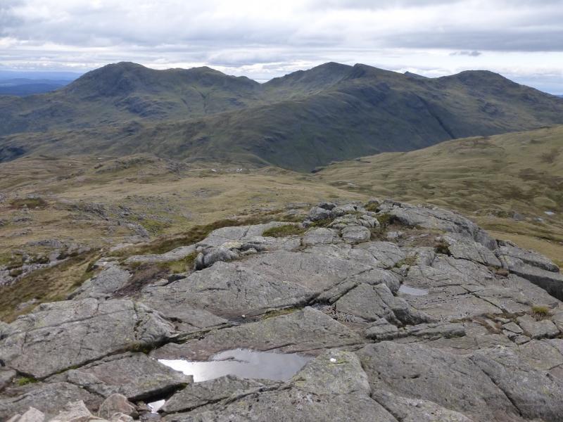
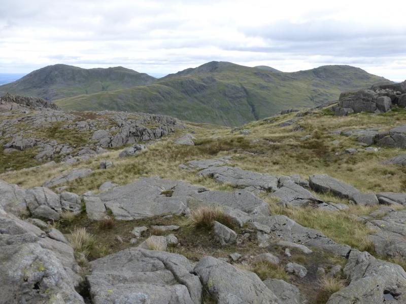
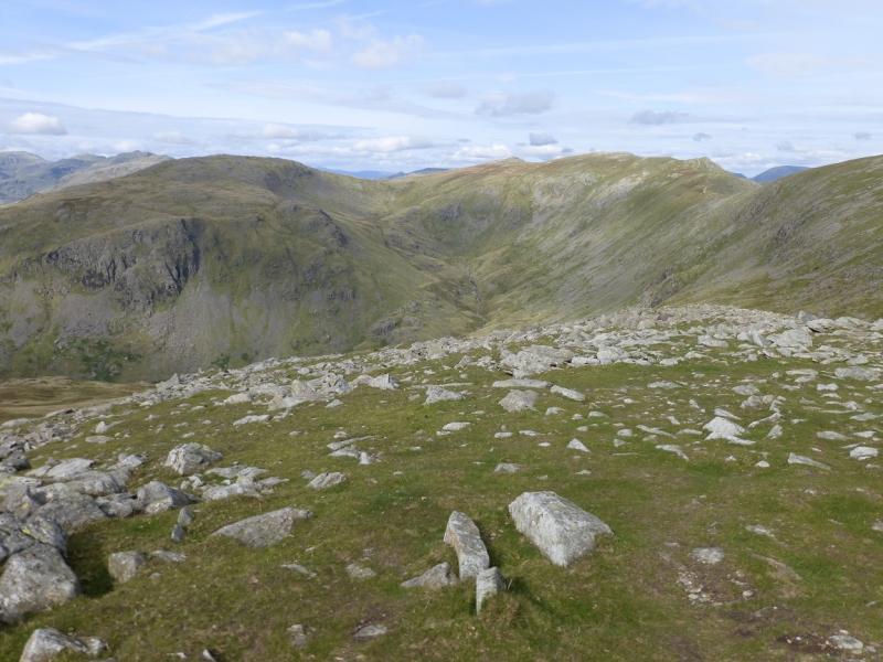
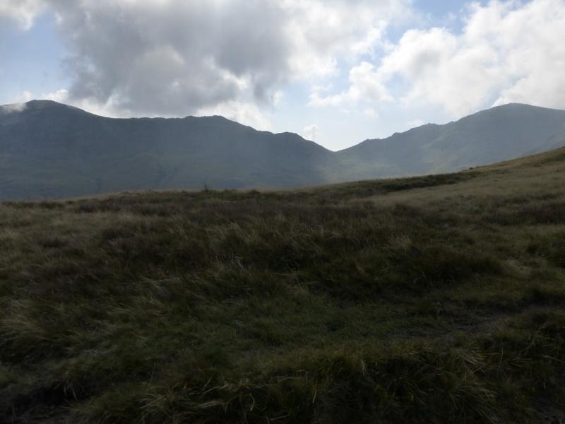
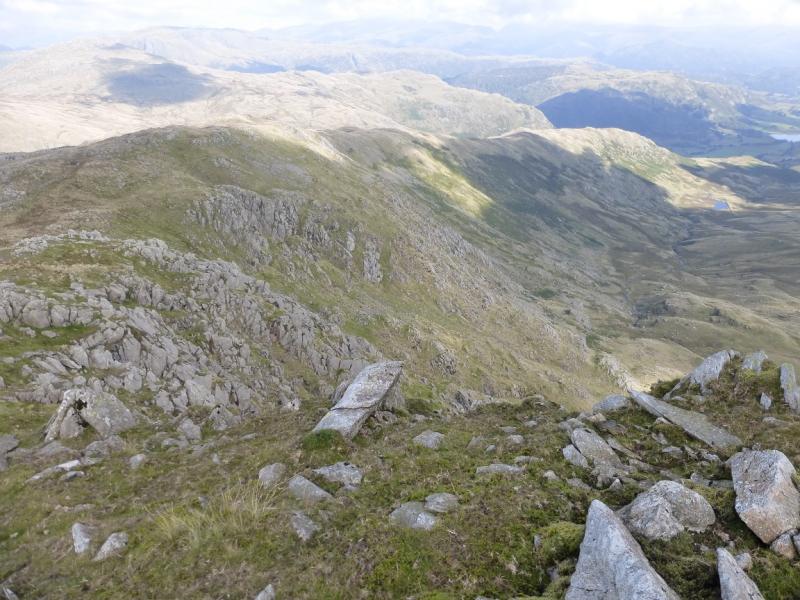
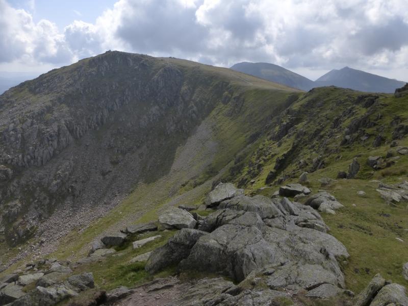
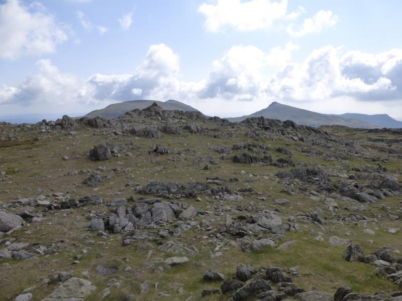
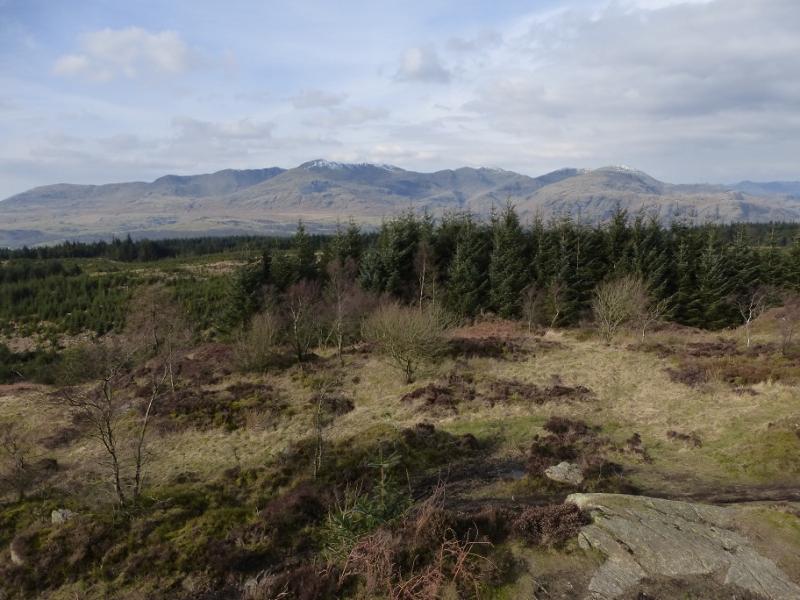
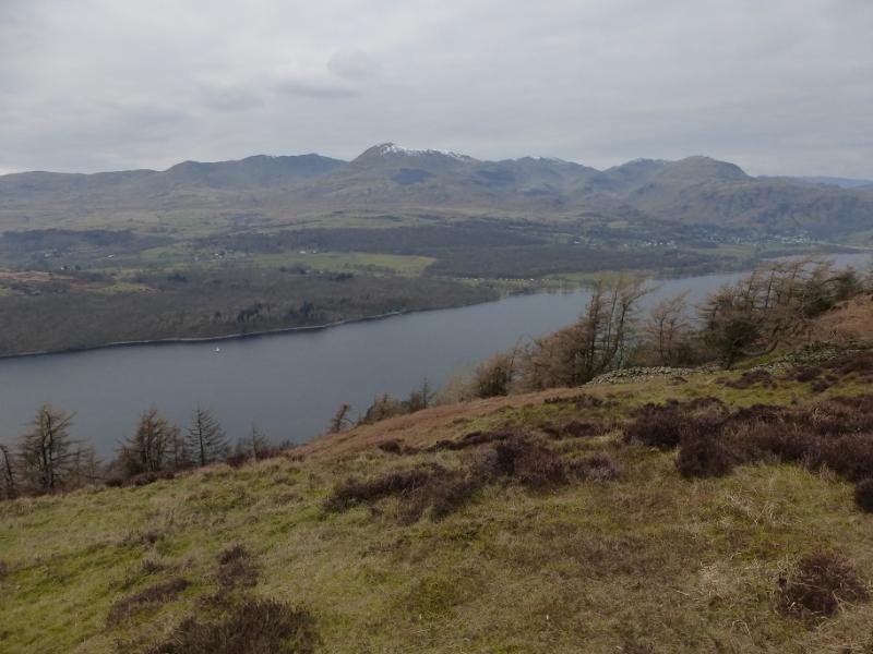
This is a pleasant walk which can easily be accomplished on a short winter's day but it would be much more serious under snow and ice. There are good paths all the way. Excellent views include Wetherlam, Coniston Old Man, Dow Crag, Harter Fell, Cold Pike and Pike of Blisco with the Scafell/Scafell Pike range, Skiddaw range and Helvellyn range being seen on a very clear day.
Route
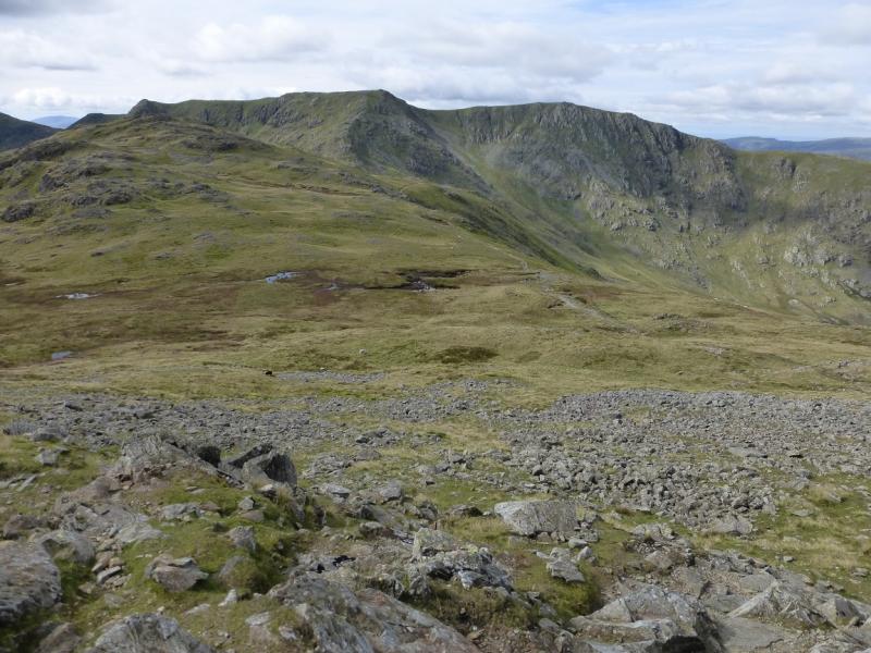
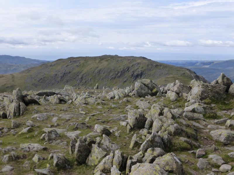
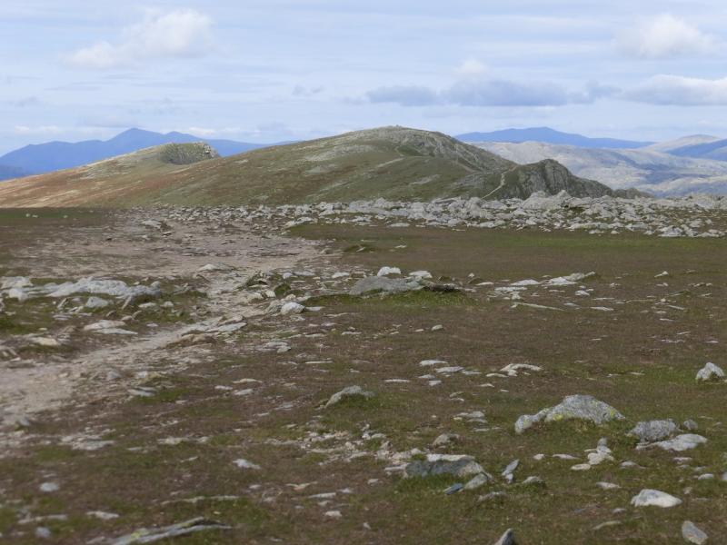
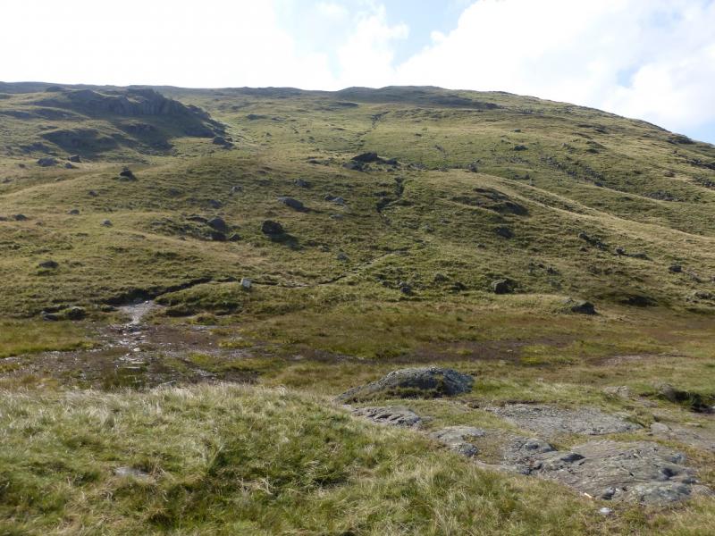
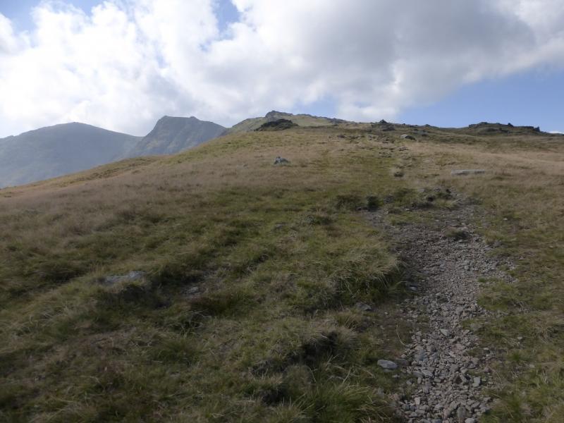
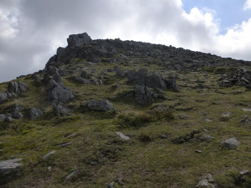
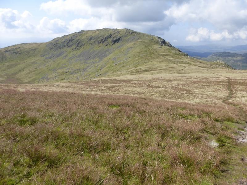
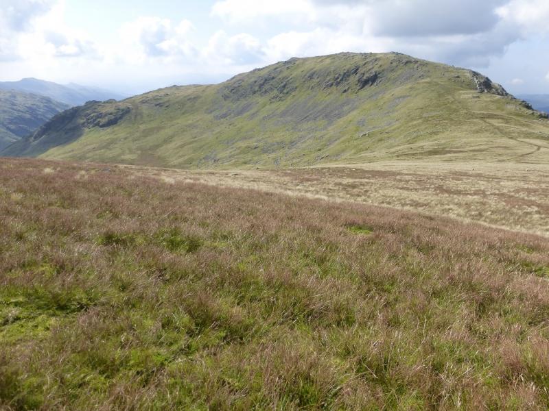
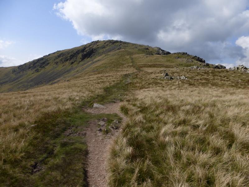
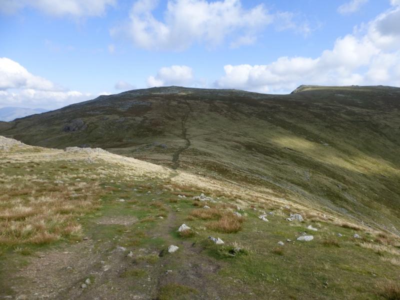
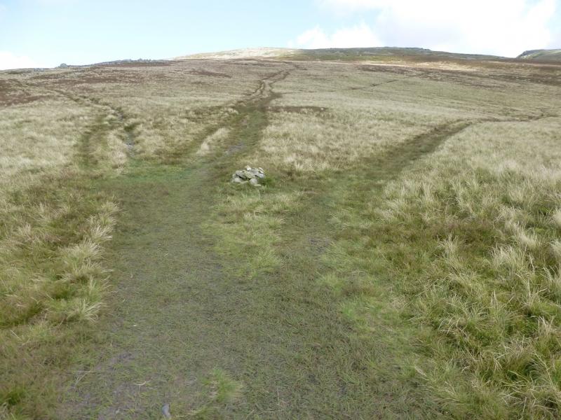
(1) From the top of the pass, take the obvious path ascending to the S. There is a short initial wet section with “stepping stones” at the start. Follow the path up then more gently SW before a final climb on to Wet Side Edge to reach a cairn. Note this for the return. Turn right, roughly SW, and follow the path up Wet Side Edge. The path is mainly on the W side of the crest and leads to a flat section below Great Carrs just after the minor cairned top of Little Carrs which can easily be visited. Continue up on ground which is rocky in places to reach the medium cairn marking the summit of Great Carrs, 780 m.
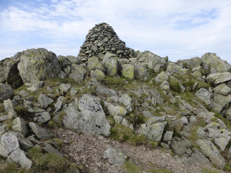
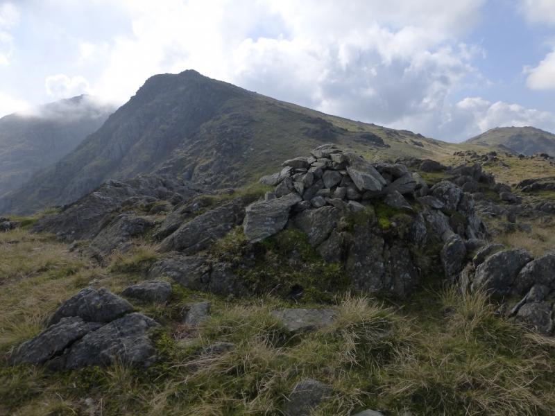
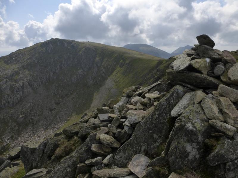
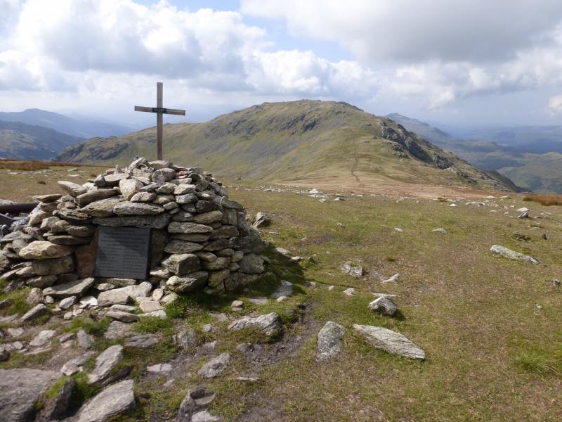
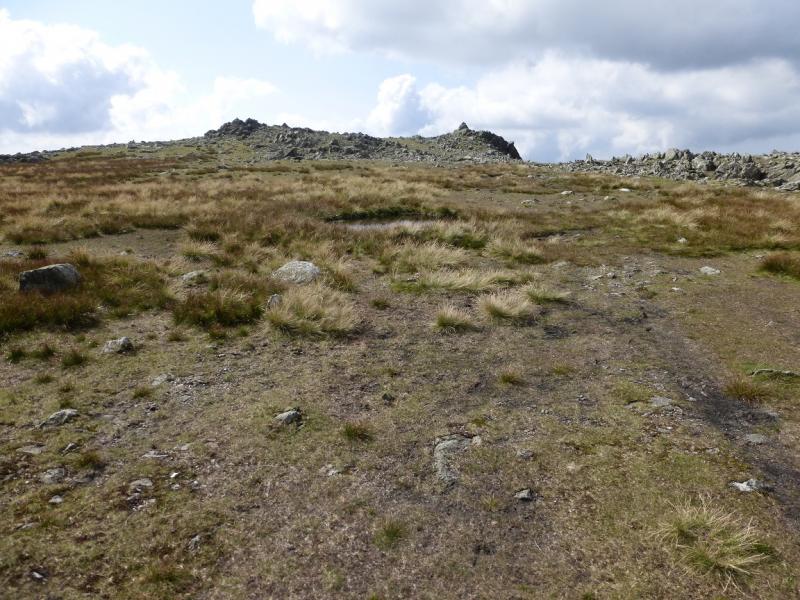
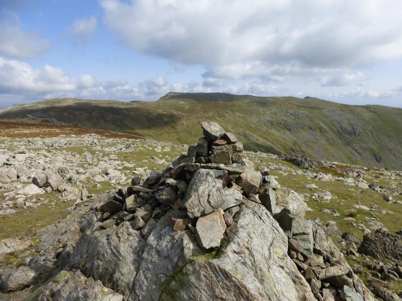
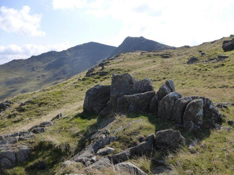
(2) Continue along the edge, making a short descent then a much longer ascent up to the large well built cairn which is the summit of Swirl How, 802 m.
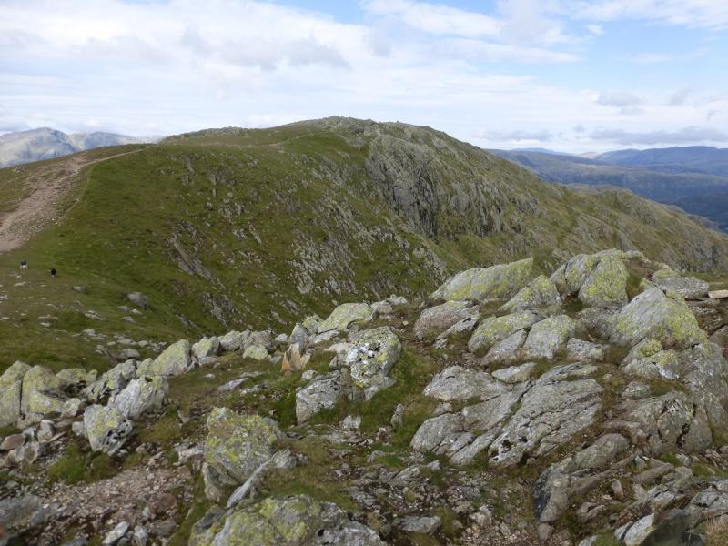
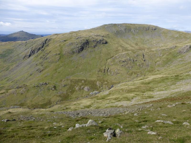
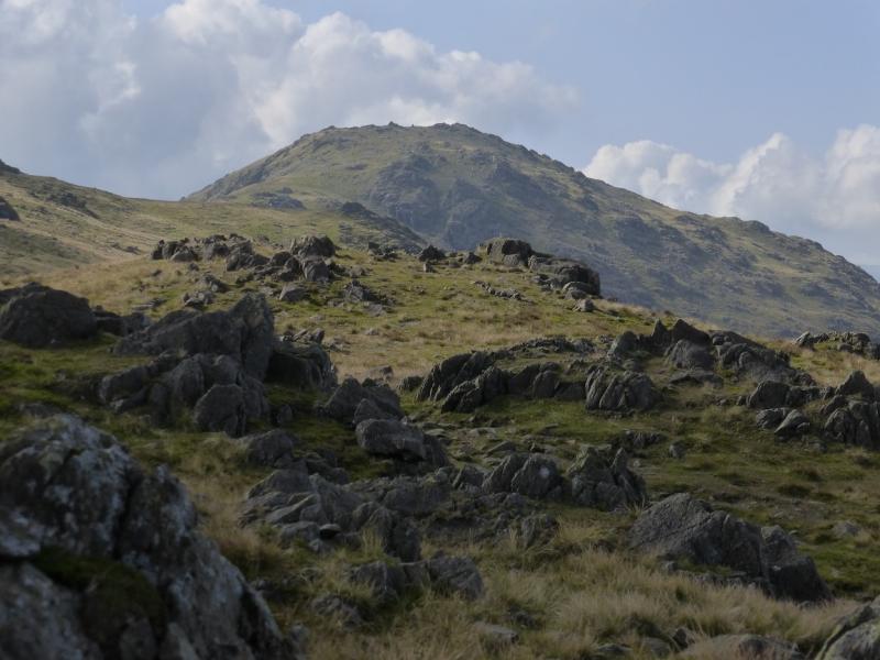
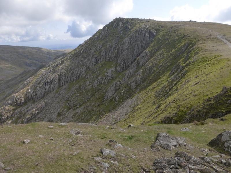
(3) Retrace towards Great Carrs until the path starts to rise then go roughly W down easy grass to the col between Grey Friar and Great Carrs. A path appears nearer to the col. Continue on the path which ascends the E ridge of Grey Friar to a plateau at the far end of which are two cairns. The left, S, one is slightly higher and marks the summit of Grey Friar, 770 m.
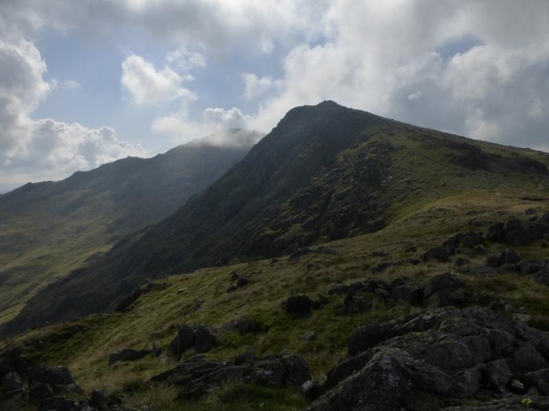
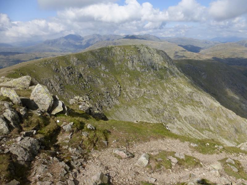
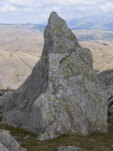
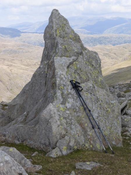
(4) Retrace to the col but, on the way, note a rock about 2.5 m high which is shaped like the Matterhorn. This lies just off to the left of the path. Continue up the other side of the col for a short distance to where the path splits. Take the left option which traverses Great Carrs and rejoins Wet Side Edge. Continue down to where the edge is left at the cairn. Either follow the more obvious path used earlier or take the fainter, grassy path which lies between the main descent path and the path down Wet Side Edge. The grassy path joins the main path lower down. Continue to the top of the pass.
Notes
(a) This walk took place on 8th September, 2015.
Photos - Hover over photo for caption. Click on to enlarge. Click on again to reduce.