Get Lost Mountaineering
You are here: England » Lake District » 4 Southern Fells
Scafell Pike & Lingmell via Piers Gill from Wasdale Head
Scafell Pike & Lingmell via Piers Gill from Wasdale Head
Start/Finish
National Trust car park near the head of Wastwater. Drive along the road by the lake towards Wasdale Head. Once past the end of the lake, look for a rough road going right and over a girder bridge. Follow this for a short distance to the National Trust car park. Do not drive past the car park as the access is for private buildings and Mountain Rescue only. Parking is free for National Trust members.
Distance/Time
11 km About 5 – 6 hours
Peaks
Scafell Pike, 978 m, NY 216 072.
Lingmell, 800 m, NY 209 082. OS 90: Penrith & Keswick. OL6 South Western Lakes.
Introduction
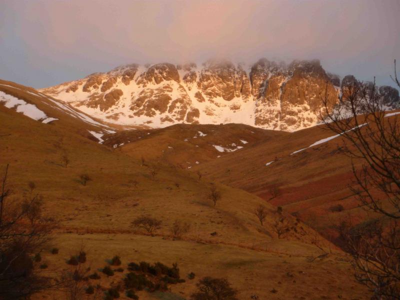
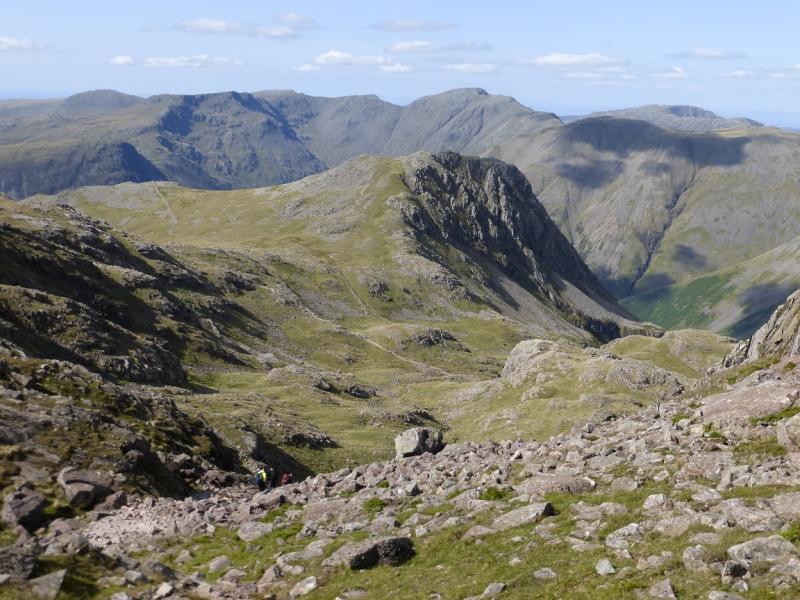
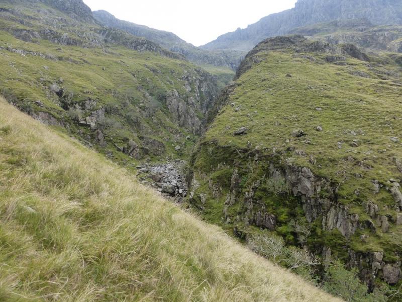
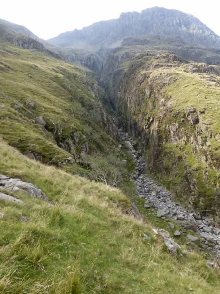
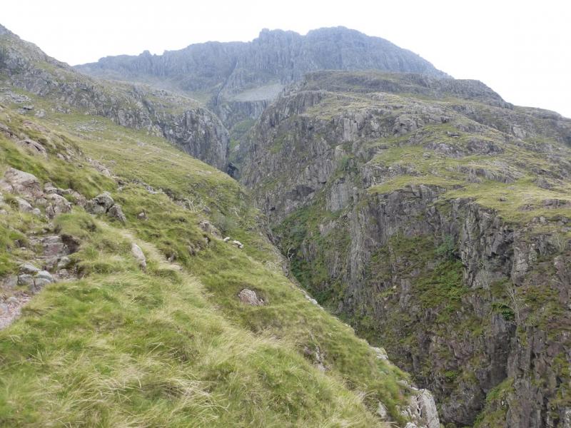
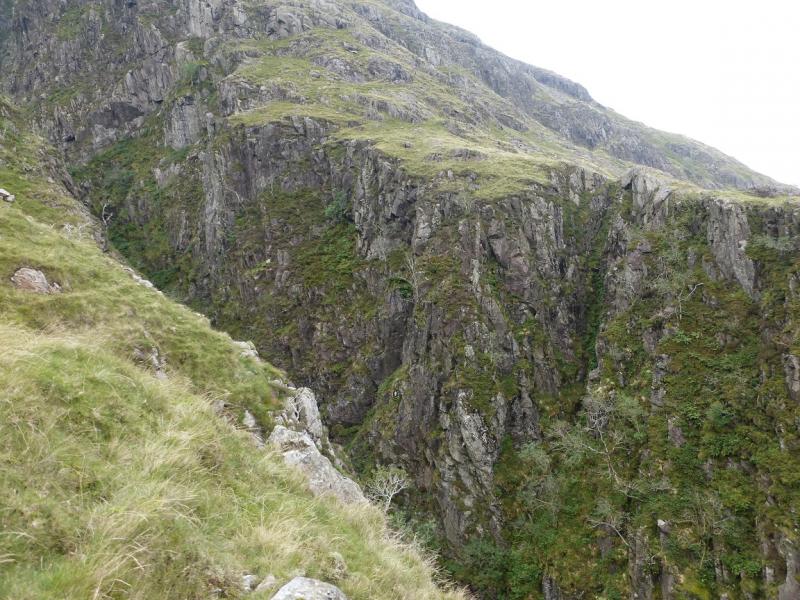
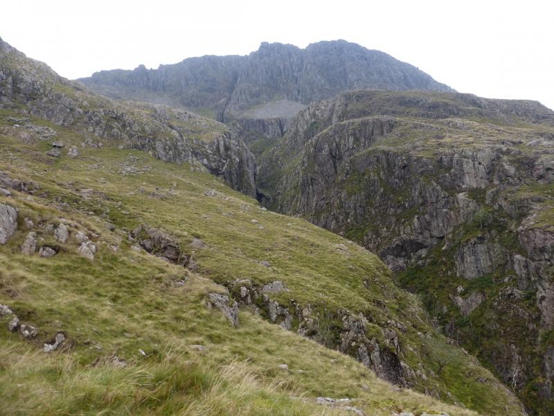
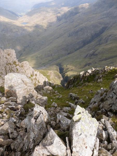
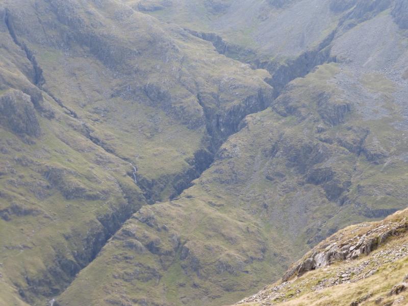
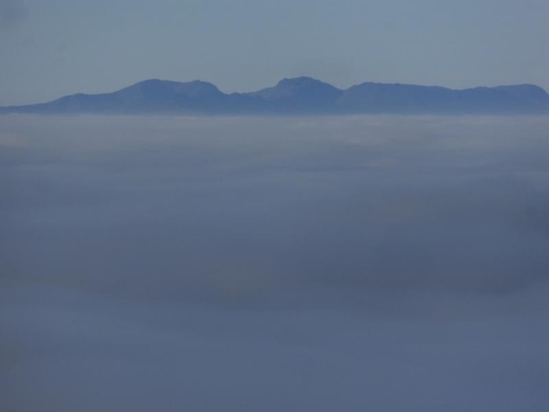
This is a very pleasant walk which follows the side of Piers Gill gorge on a good path with little exposure. There is a short section up a rock band which follows a “groove” with plenty of rocky steps and hand holds and to call it a scramble, as some do, is probably overstating the case. The actual ascent of Scafell Pike uses the same route up and down on the top part of the mountain – England's highest summit. This section can be confusing in mist as some of the cairns are, perhaps, too far apart so make sure you have a map and compass and know how to use them. The return over Lingmell involves some extra ascent but also gives good views down into Piers Gill. The descent down the W/SW ridge of Lingmell is steep in places but there is a good path on these sections.In winter conditions, ice axe, crampons and winter experience will be needed especially as a slip by the Piers Gill gorge could be very serious indeed. The views are as good as they get so try to save this walk for a clear day.
Route
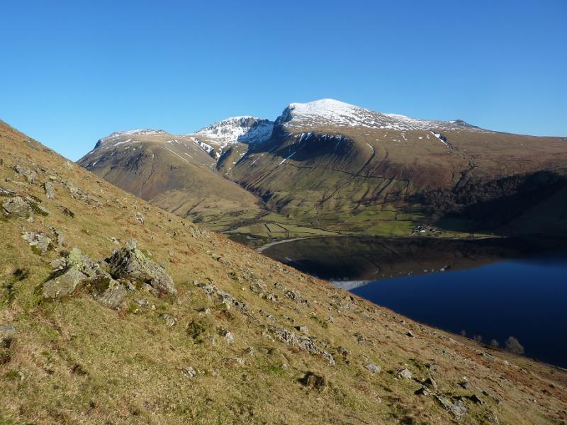
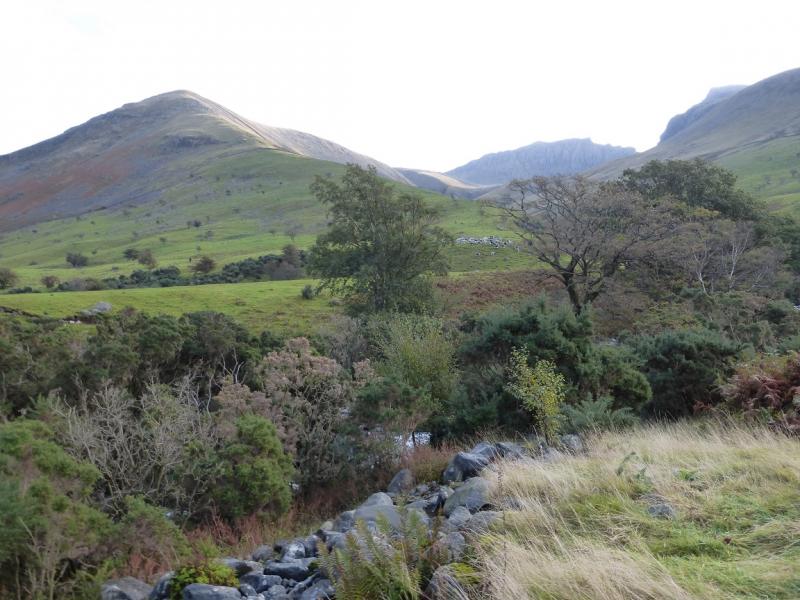
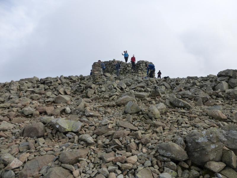
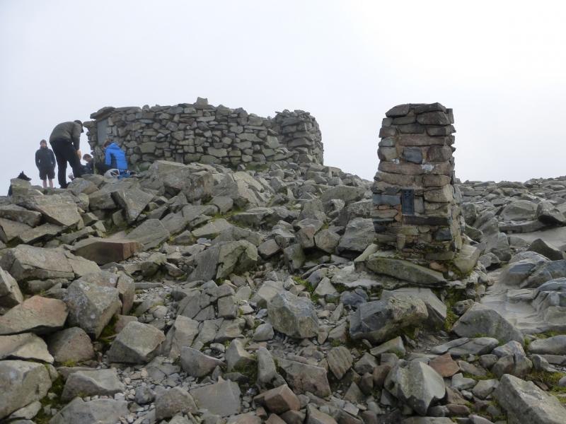
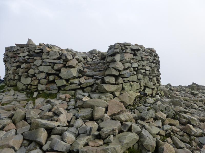
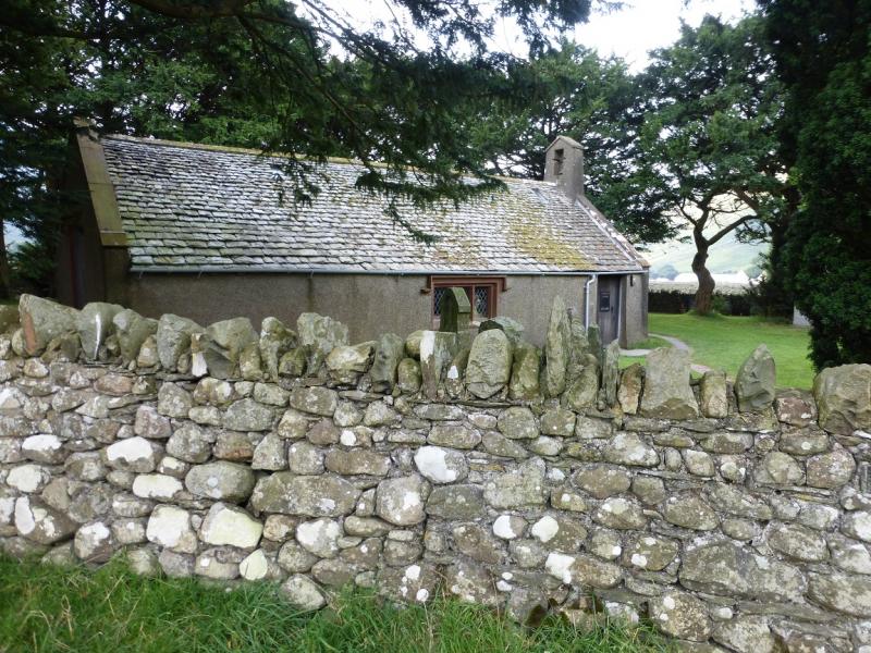
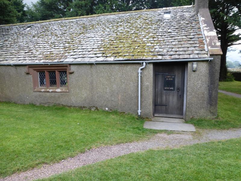
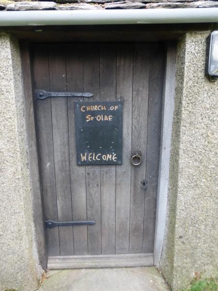
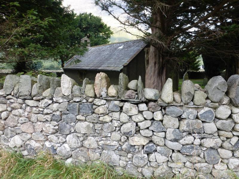
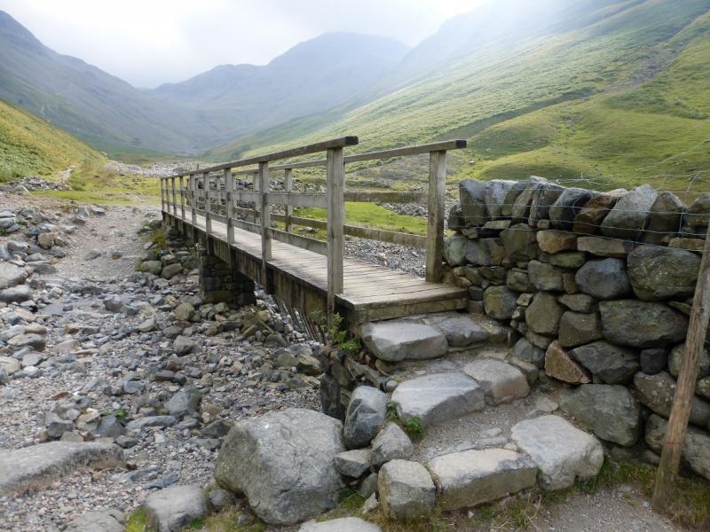
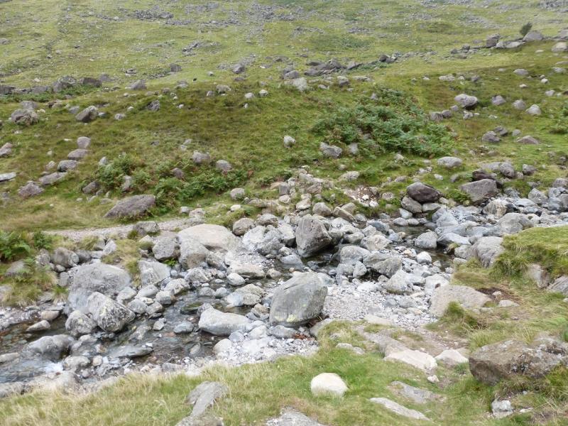
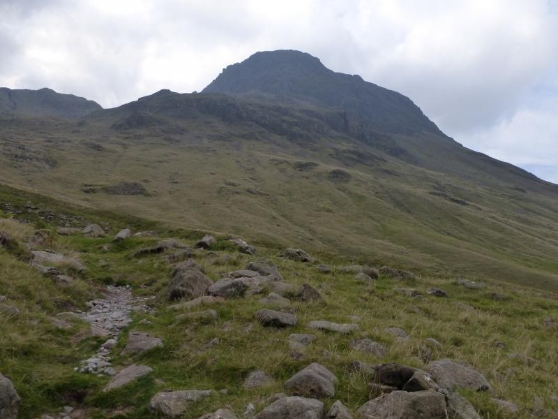
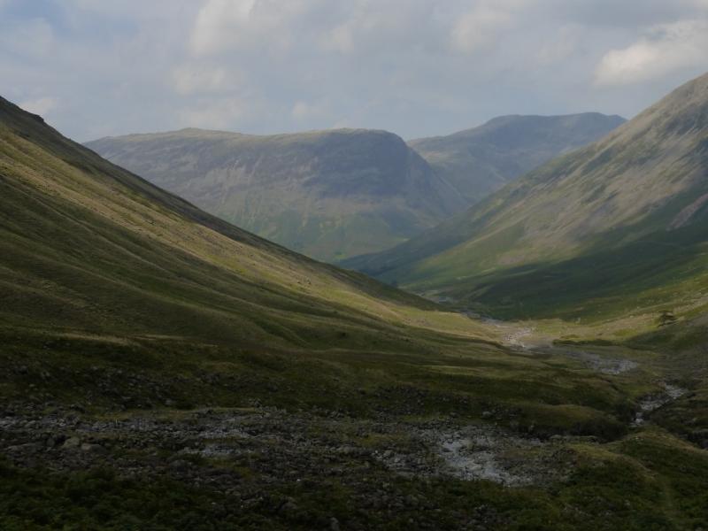
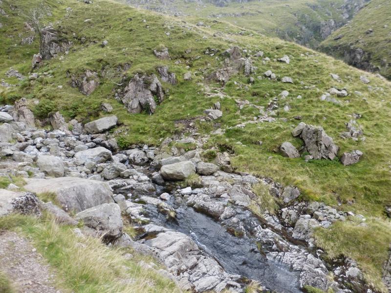
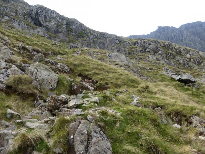
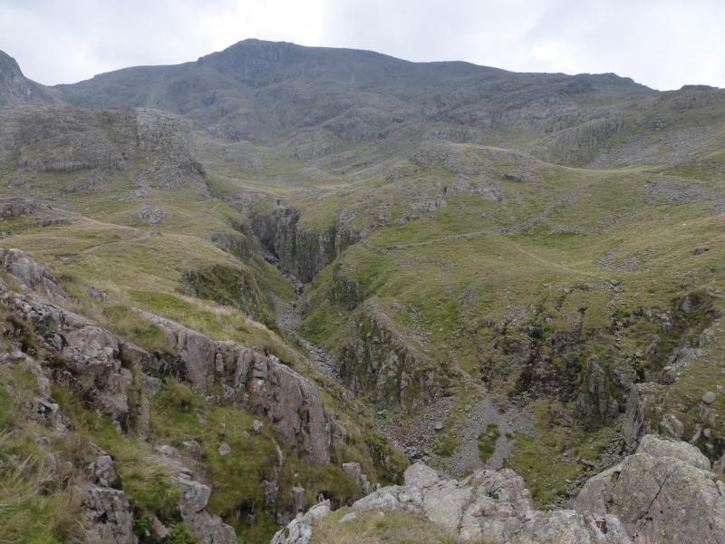
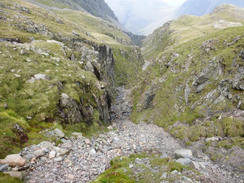
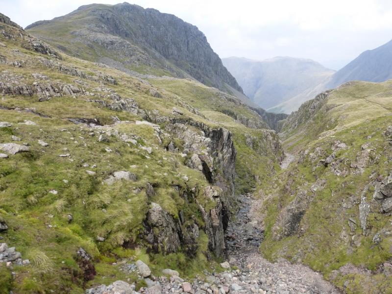
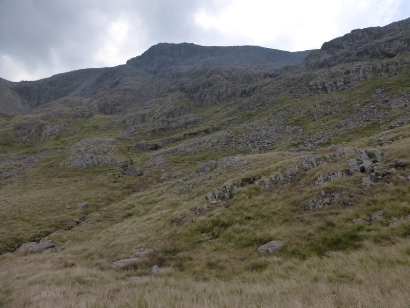
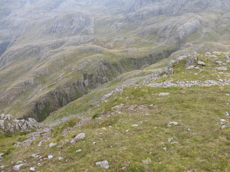
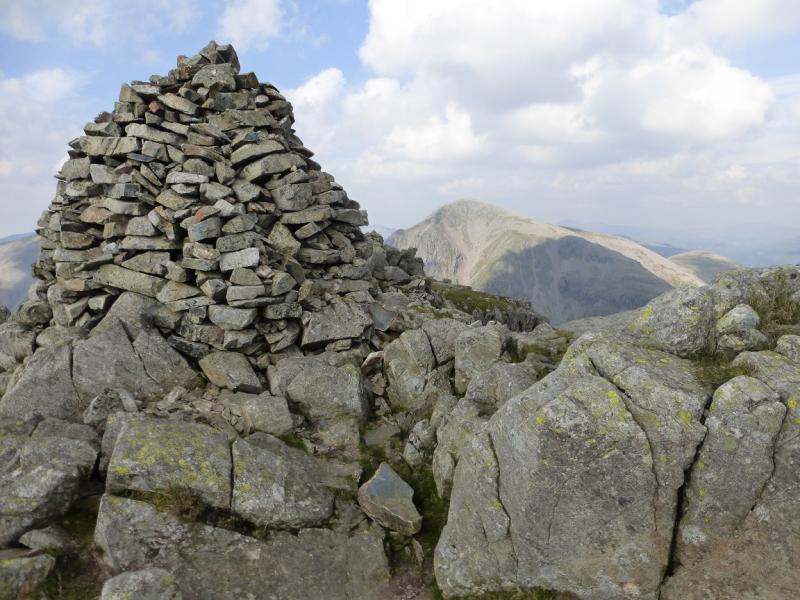
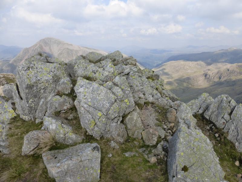
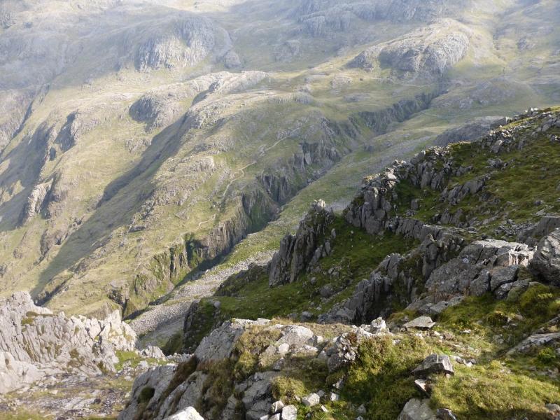
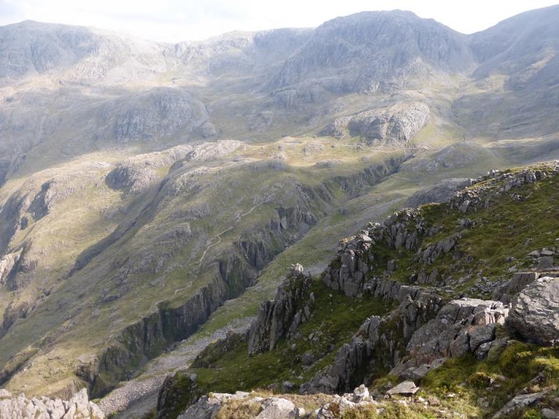
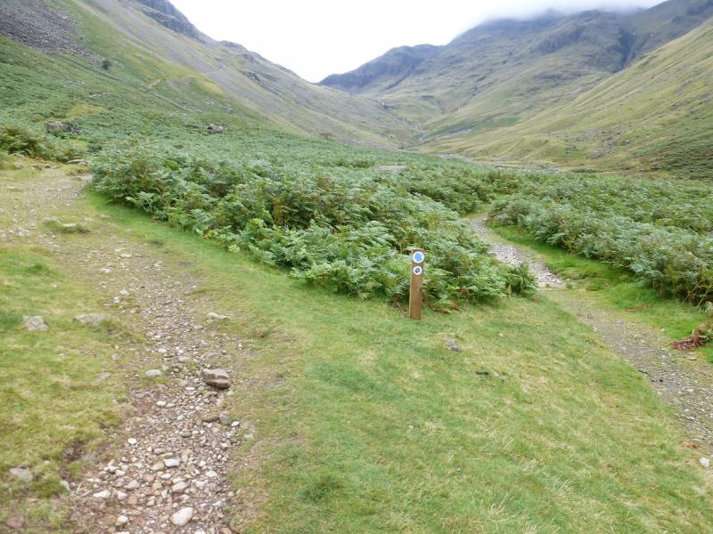
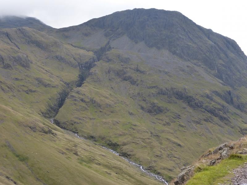
(1) From the car park, continue up the rough road. Cross the cattle grid to reach the Mountain Rescue car park. Go through the gate on the left and follow the track through another gate then go right on a track at the back of but within the camp site. Follow this to the river which is so wide that it is crossable in most conditions and is often dry. Continue on the path, through gorse bushes, to join the road just before Wasdale Head. Either take the signed path to the house on the way iup the valley or walk to the hotel, where there is a shop opposite, then take a path signed for the church. Both alternatives lead to the small church of St. Olaf. Continue on the obvious track up the valley with Lingmell Beck to the right. Cross a footbridge. Not long after the path starts to climb, towards Sty Head, take a path which forks off to the right. Follow this across a tributary – no bridge but not usually a problem. Soon after the path heads off towards Sty Head, swinging away from the beck (stream). A faint path now takes over and follows the beck up. Higher up this path becomes more defined. Follow the path up with the beck on the right. Soon the start of the obvious gorge of Piers Gill is reached as the direction changes from S to SW. Continue up. Further on, the path reaches the foot of a short rock band and ascends it easily using a rough “groove” with plenty of steps and hand holds. Regain the path soon after and continue to a much smaller rock band where one can go around to the left or straight ahead, the latter is the main path but both join up later. Continue up to the top of Piers Gill where another path joins from the left. This is the Corridor Route which can be very popular. Continue up the path which climbs towards the col between Scafell Pike and Lingmell. The path actually passes above the col on the Scafell Pike side where it joins another main path, the one from Wasdale Head which is probably the most popular ascent route, often called the “tourist route”, up Scafell Pike. Continue up following cairns and ascending a gentle rock ramp after which the ground becomes very stony. A larger cairn means the summit is close and will be seen on a clear day. A little further and the trig point and huge summit cairn will soon be reached which mark the summit of Scafell Pike, 978 m.
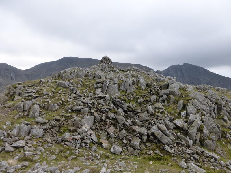
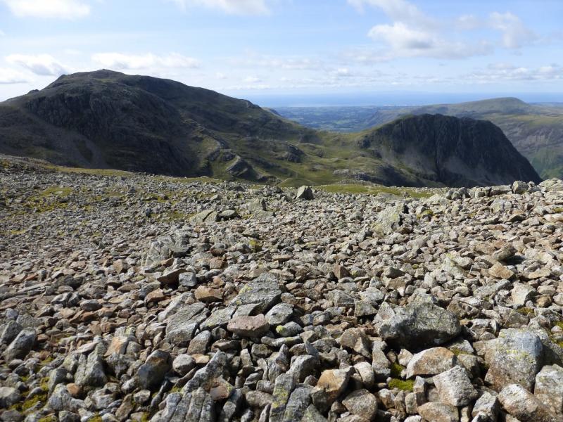
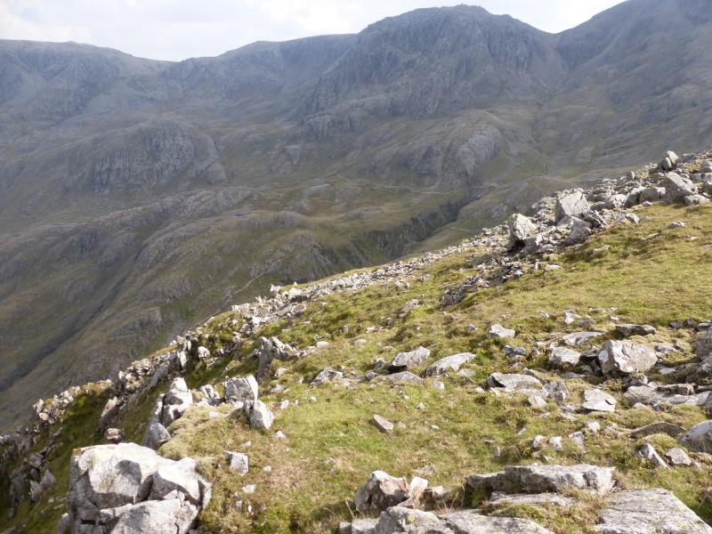
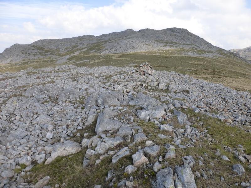
(2) Retrace down the “tourist” path being especially careful in thick weather. The first challenge is to locate the very large cairn then the slabby section. After the junction with the Corridor Route (which goes NE), the main path to Wasdale Head path goes SW then W. Go right, back on to the Corridor Route but leave it after about 100 m and follow a faint path across stony and grassy ground to cross the col between Lingmell and Scafell Pike. Soon after the path becomes very well defined and leads up to a rocky summit where there is a very large and well built cairn. A little further along, in an equally rocky setting, is a top with a very small cairn. Both summits seem to be about the same height so visit both. This is the summit of Lingmell, 800 m.
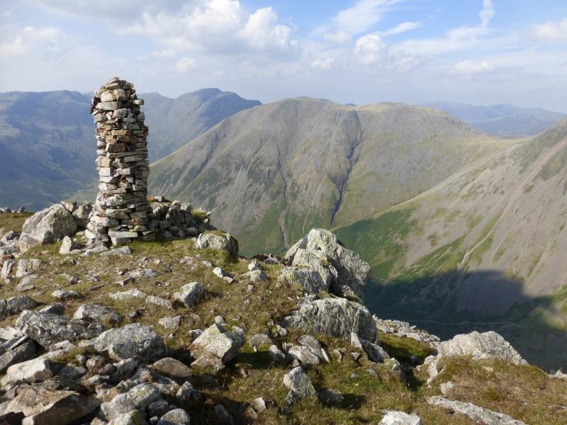
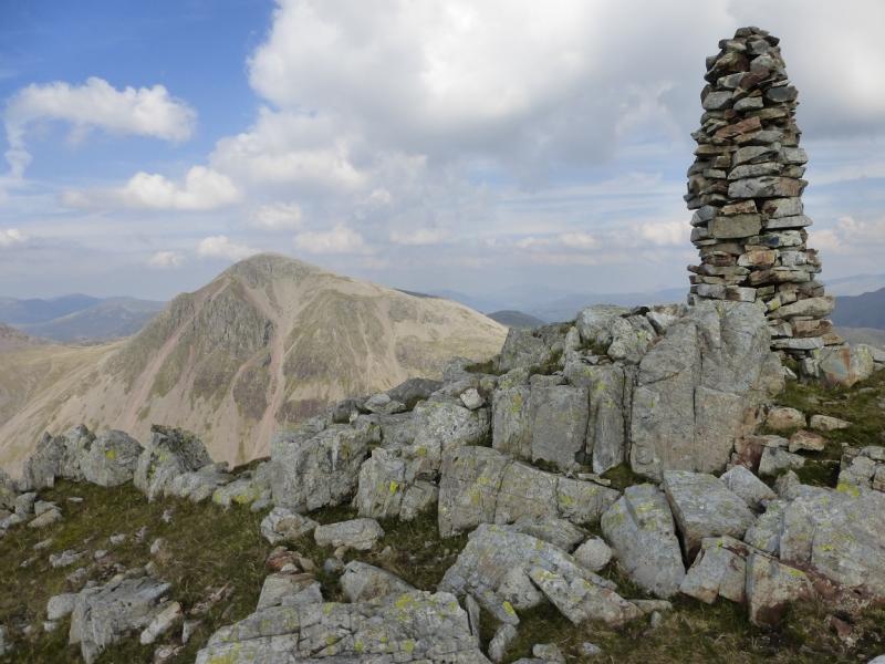
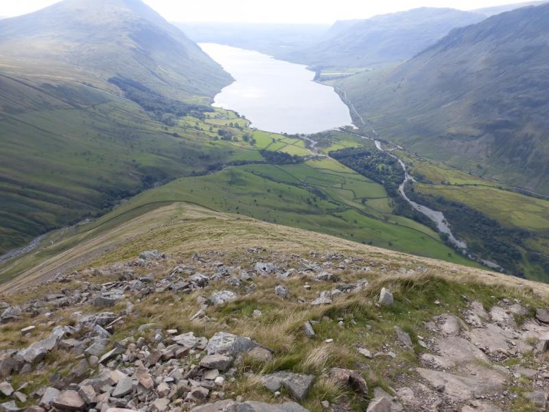
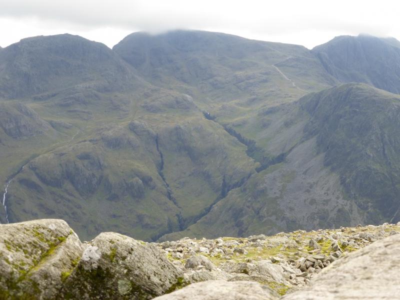
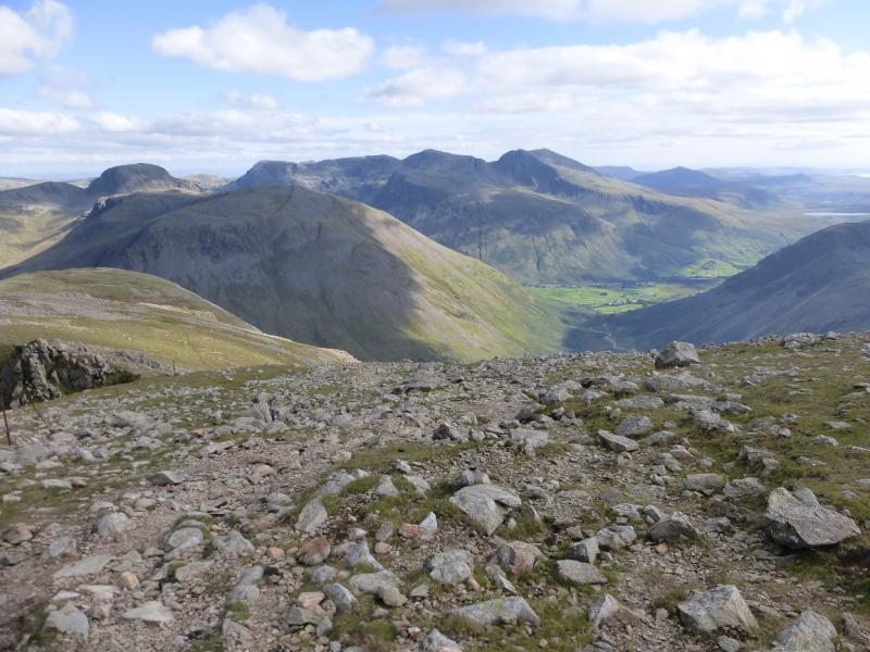
(3) It is worth continuing along the crest, towards Kirk Fell, where there is a tall pillar cairn from which there are good views especially to Kirk Fell and Great Gable. From the cairn, it is best to pick a way across to the W/SW ridge of Lingmell where a path is soon picked up which leads down the ridge. Much lower down there is a steeper and slightly eroded section before a wall is crossed and easy grassy slopes lead down to the foot of the ridge where a path goes right back to the car park.
Notes
(a) This walk took place on 11th October, 2015, and many times previously.
Photos - Hover over photo for caption. Click on to enlarge. Click on again to reduce.