Get Lost Mountaineering
You are here: England » Lake District » Outlying Fells
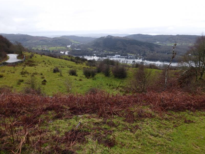
Gummer's How from Forestry Commission Car Park on Bowland Bridge Road (S)
Gummer's How from Forestry Commission Car Park on Bowland Bridge Road
Start/Finish
Forestry commission car park about a mile up the Fell Foot Brow road from Fell Foot to Bowland Bridge. Fell Foot is almost at the bottom of Windermere on the A592 Bowness to Newby Bridge Road. The Fell Foot Brow road is signed for Gummer's How and Bowland Bridge and is a reverse left fork if driving down the lake from Bowness. The car park is well signed and was free on 2/12/2015. It is small and may fill up quickly in the busy season.
Distance/Time
2 km About 1 hour
Peaks
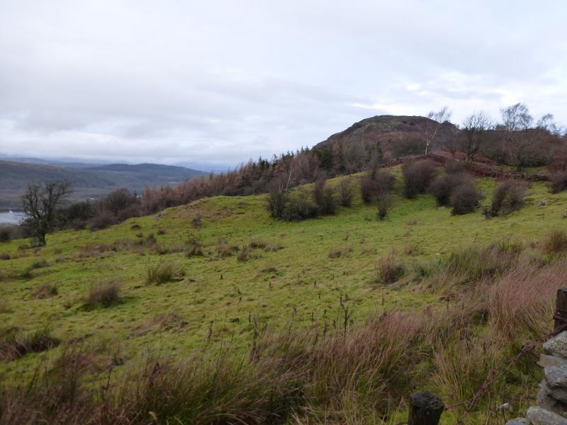
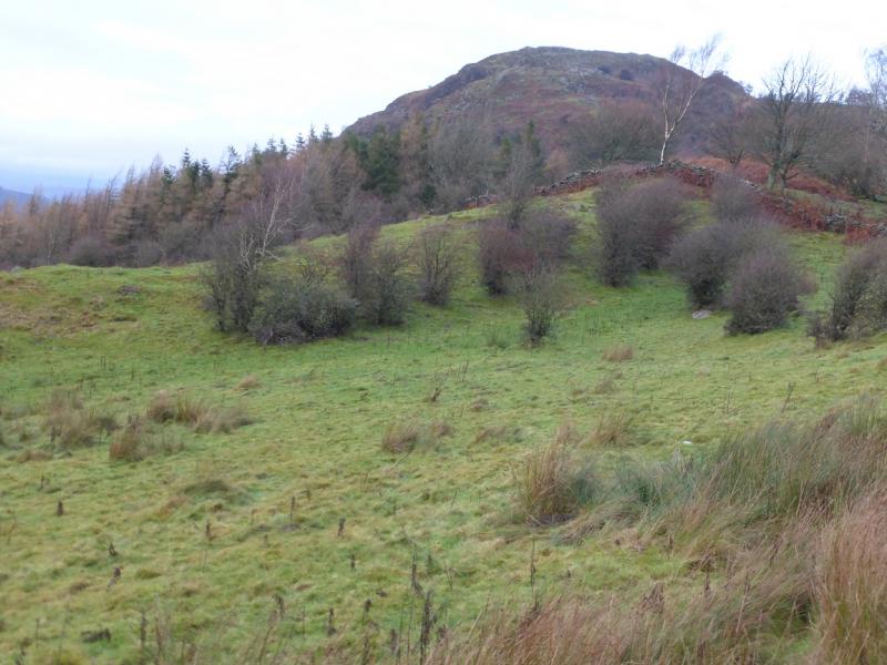
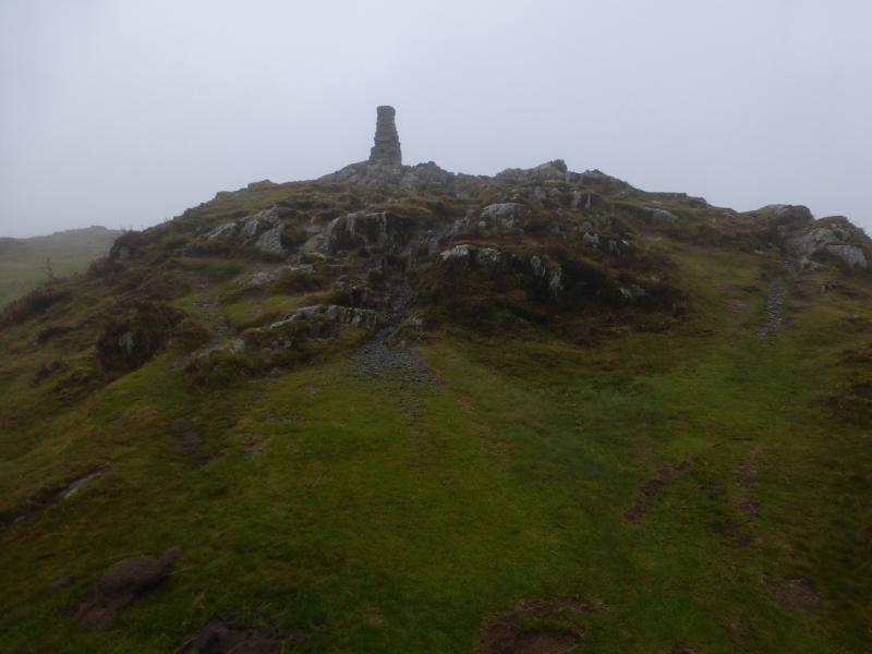
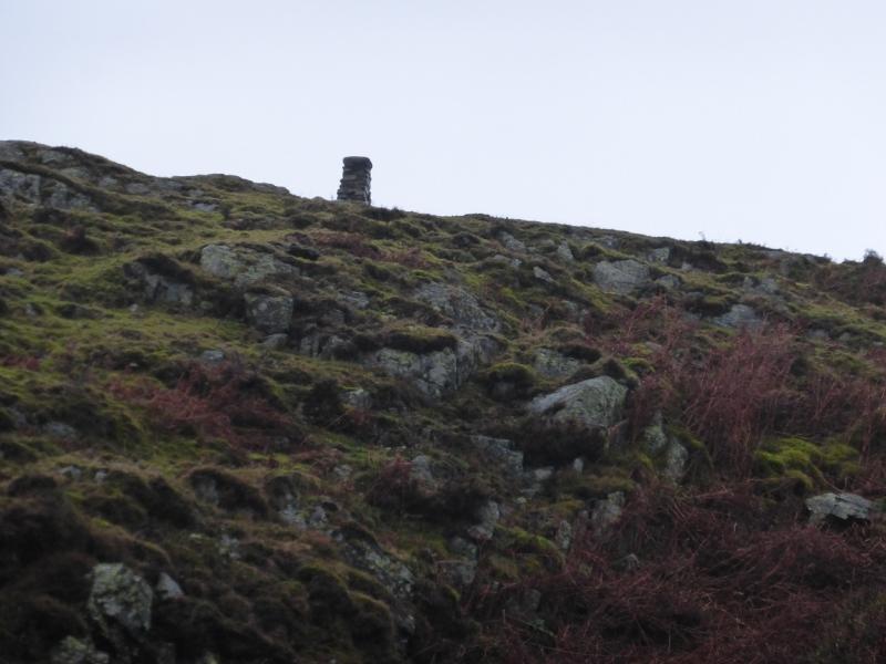
Gummer's How, 321 m, SD 390 885.
OS 96 Barrow-in-Furness & South Lakeland. OL 7 South Eastern Lakes.
Introduction
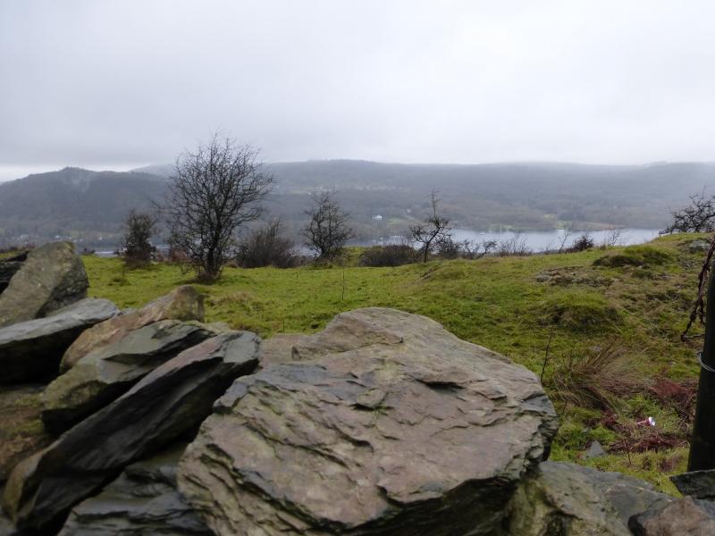
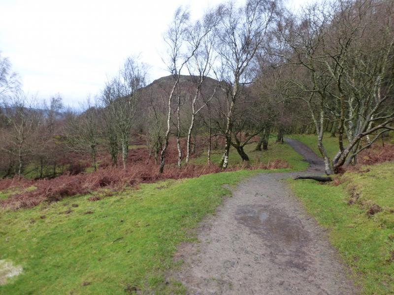
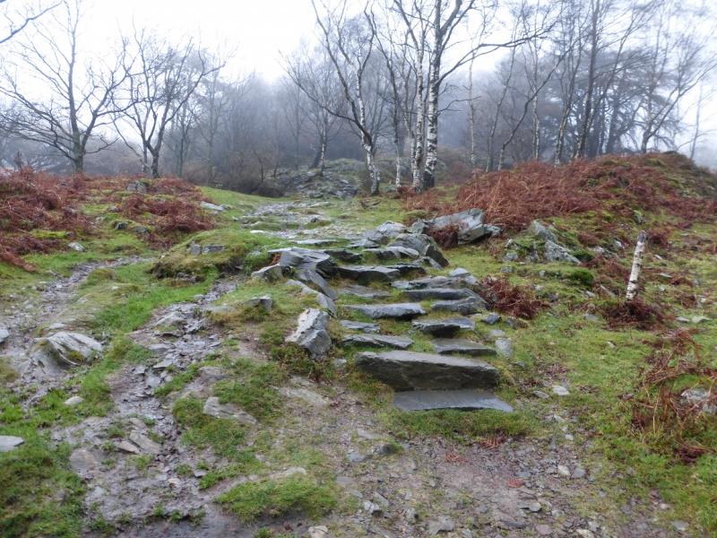
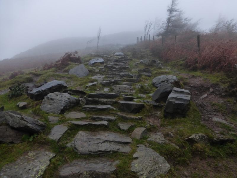
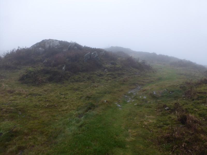
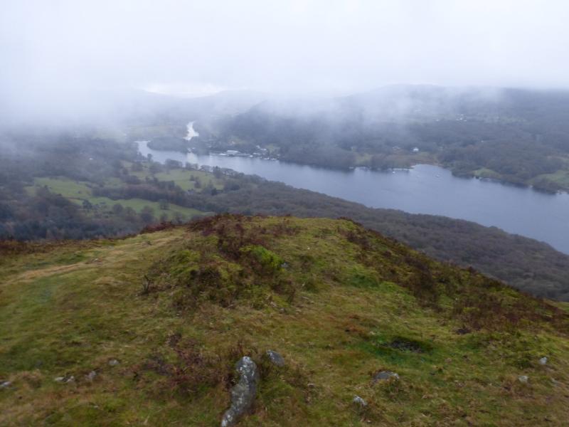
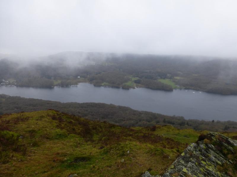
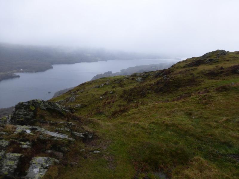
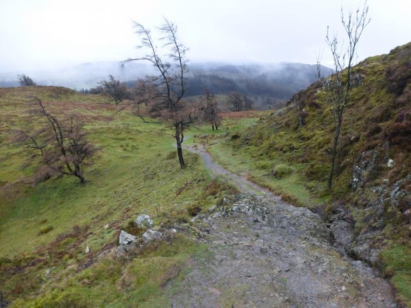
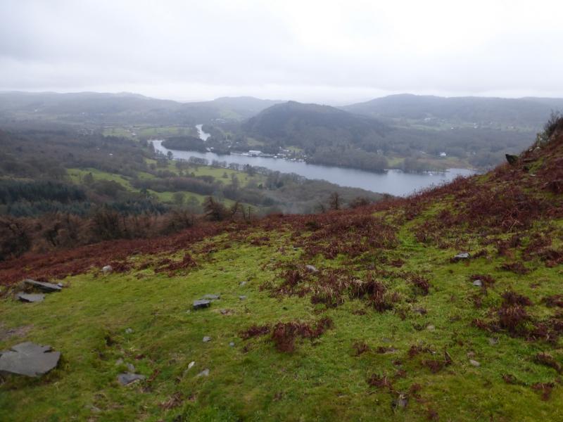
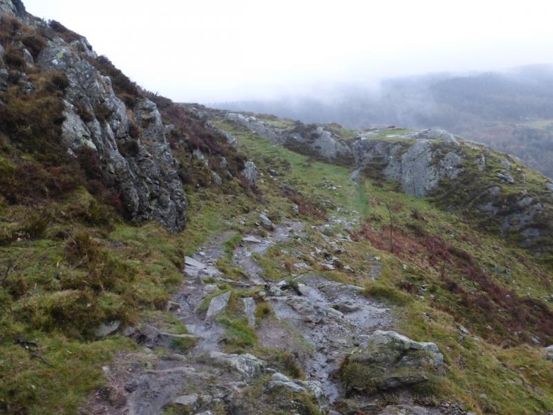
This is a very short walk on a good path. There are a few easy rocky sections but these are easily avoided. As with many popular walks in the Lake District, a multitude of paths has sprung up but the main paths are still very distinctive. Many will tackle this hill on a bad weather day when higher hills are best avoided but it is worth climbing in its own right as the views are excellent and include much of Windermere and the Langdale Pikes. Note that there is a sign in the car park pointing the way to Gummer's How is out of the back of the car park. Ignore this as it seems an unnecessary detour and is easier to walk about 100 m up the road to the start of the path proper.
Route
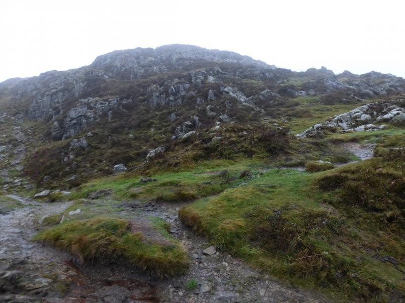
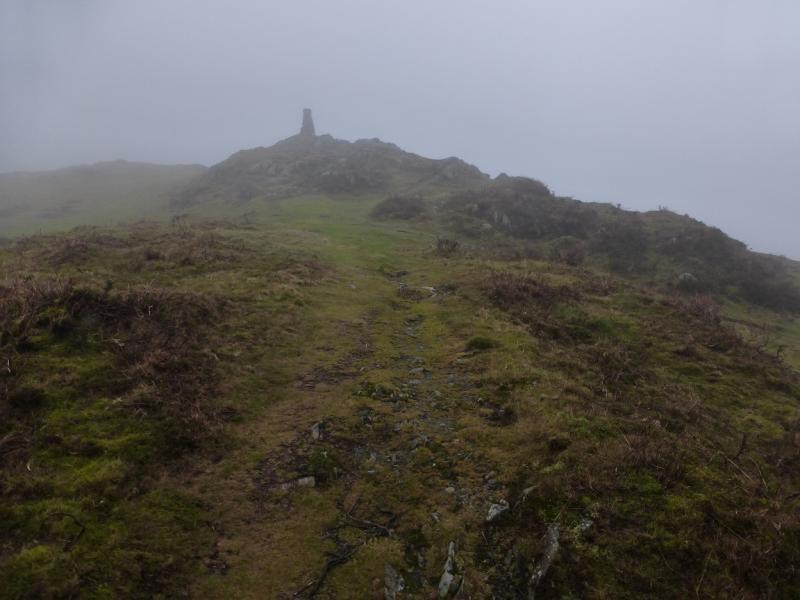
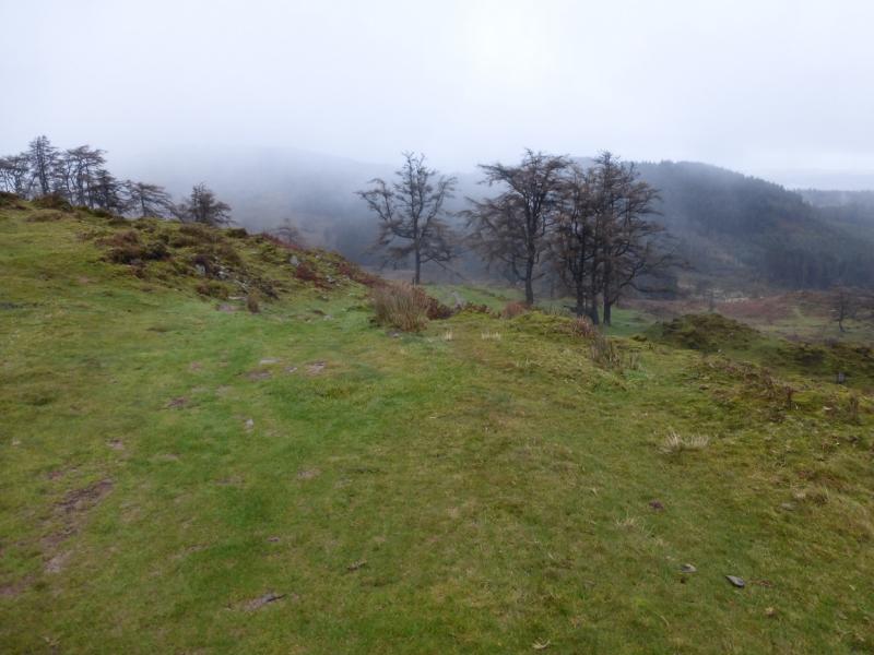
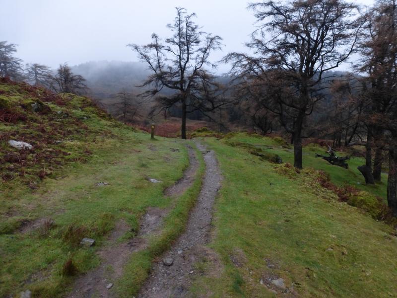
(1) Walk up the road for about 100 m to the signed path on the left. Follow this, gently at first, through scattered woodland, then more steeply with easy rocky steps up to a flatter area where the path soon leads to the stone trig point which is the summit of Gummer's How, 321 m.
(2) The usual way down is to continue past the trig point, roughly NE, towards a few trees. A path arrow soon appears and the path then swings right and continues below the summit to join the outward track at the corner of a fence. Follow the outward track down. Better still, return to the summit area and take the path towards the lake to enjoy better views. There is a path down on the lake side which also joins the outward path lower down.
Notes
(a) This walk took place on 2nd December, 2015.
Photos - Hover over photo for caption. Click on to enlarge. Click on again to reduce.