Get Lost Mountaineering
You are here: England » Lake District » Outlying Fells
Carron Crag from near Satterthwaite (S)
Carron Crag from near Satterthwaite
Start/Finish
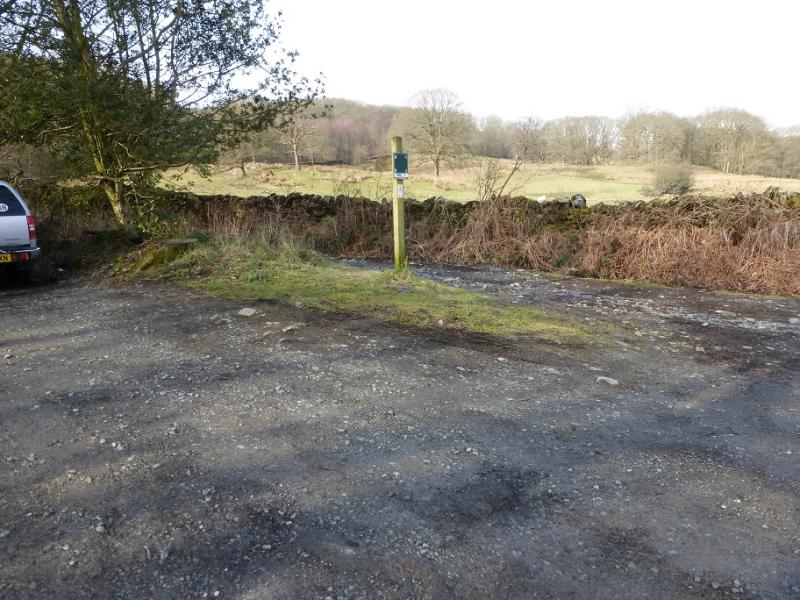
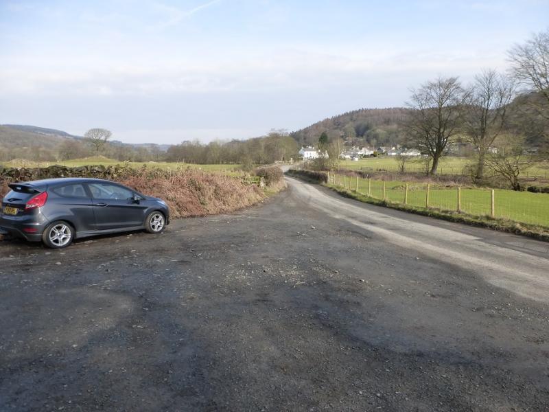
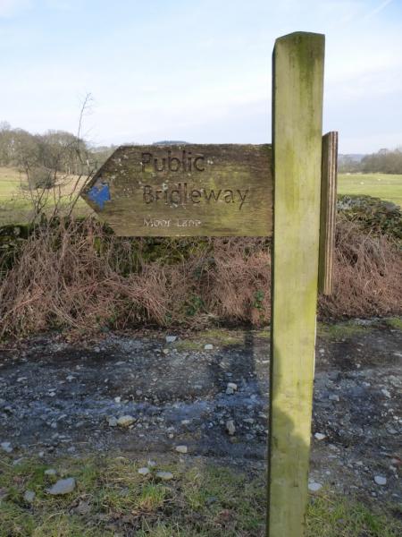
Small rough car park about 300 m south of the southern end of Satterthwaite village which is most usually reached from Ambleside via Hawkshead and Grizedale. The road from Hawkshead to Grizedale is both narrow and steep. It is possible to reach Satterthwaite from Greenodd, to the south, via Rusland and Force Mills. Greenodd is on the Newby bridge to Ulverston road. There is a sign by the car park with “Moor Lane” on it.
Distance/Time
14 km About 4 hours
Peaks
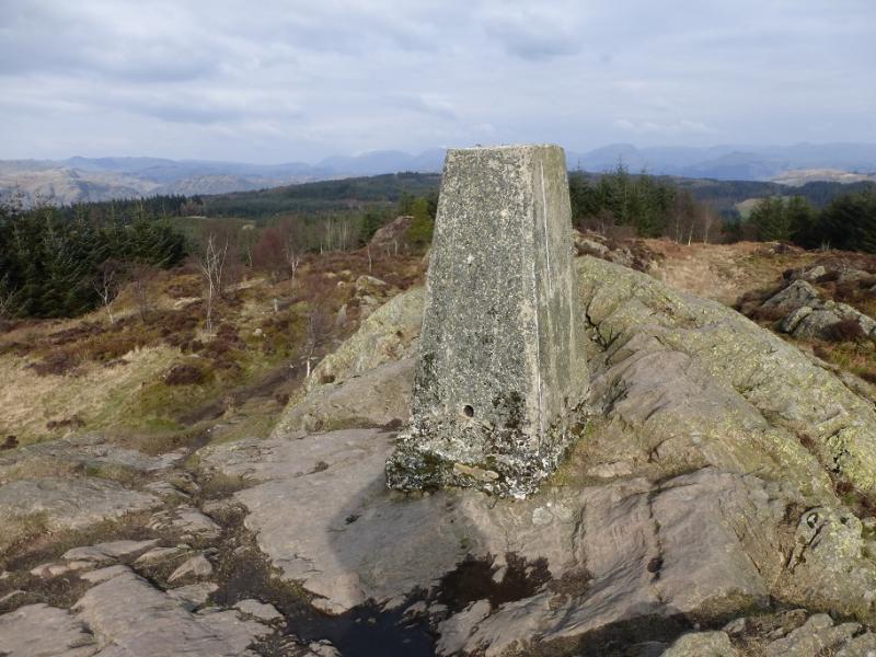
Carron Crag, 314 m, SD 325 943. OL 7 South Eastern Lakes
Introduction
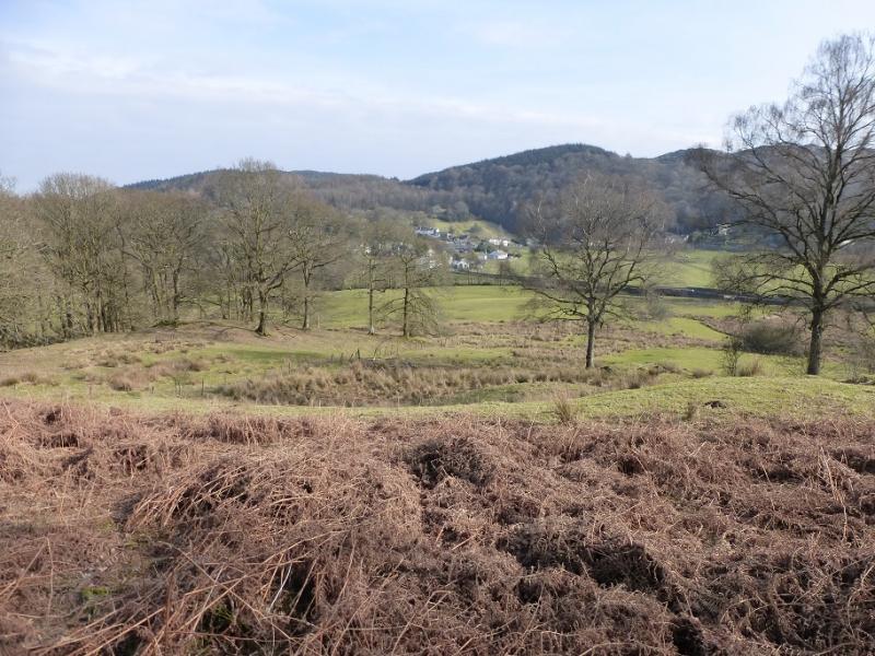
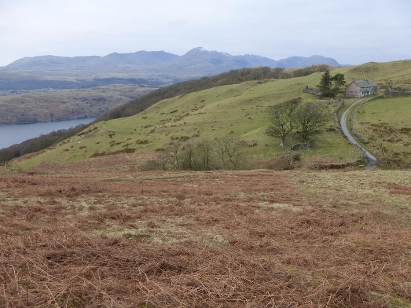
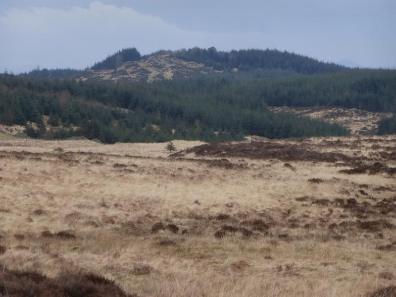
Carron Crag is the highest point in Grizedale Forest which is probably the largest forest in the Lake District. There are many tracks and paths in the forest making it popular with walkers and very popular with cyclists. Forests can be a problem to navigate in but up to date pocket sized maps are available in the Grizedale Forest Visitor Centre in Grizedale. This route also takes one out of the forest to enjoy views of Coniston Water which is not seen from the summit. The Coniston Fells including Coniston Old Man, Dow Crag, Swirl How and Wetherlam are well seen from the summit on a clear day. Black Coombe and Caw can also be seen looking towards the coast. Looking inland, one can see Helvellyn, Fairfield, Red Screes and Ill Bell although these are further away.
Route
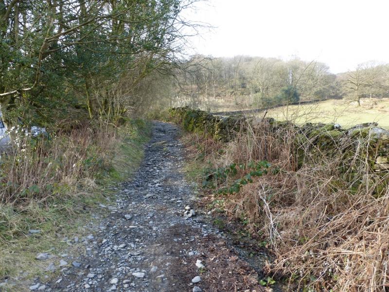
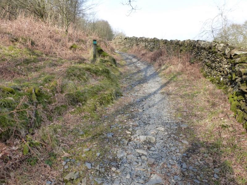
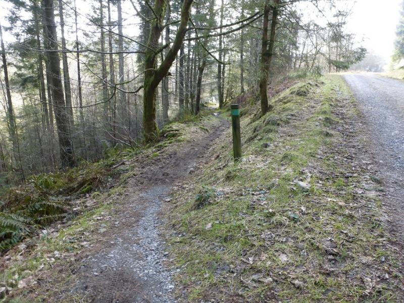
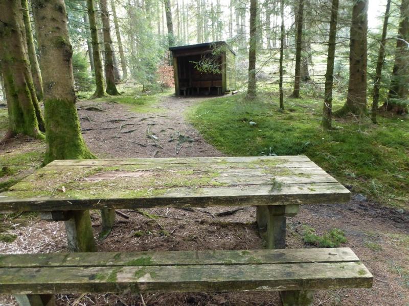
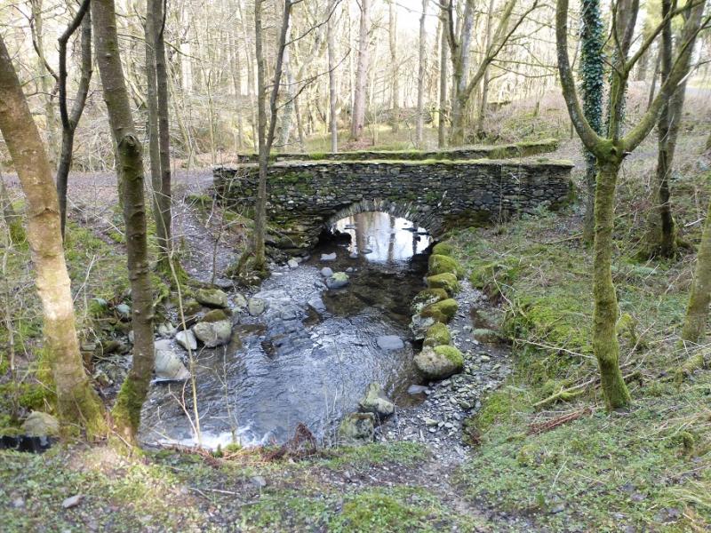
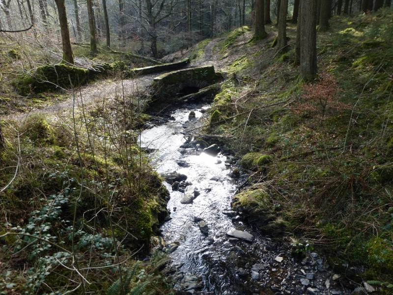
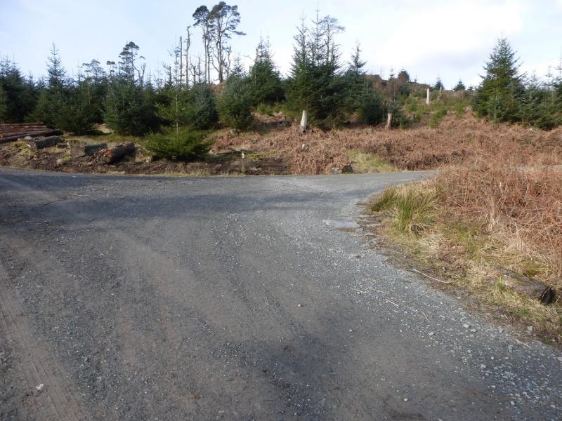
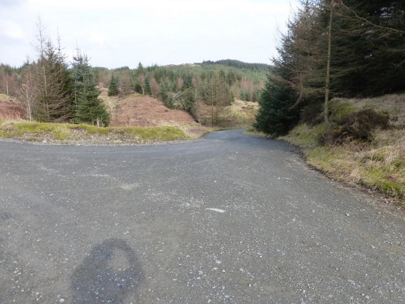
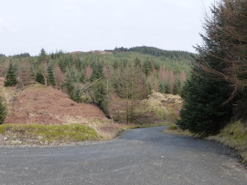
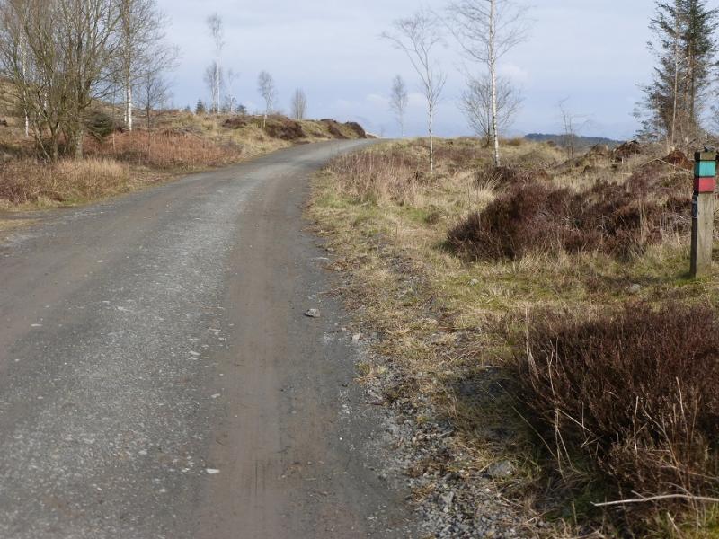
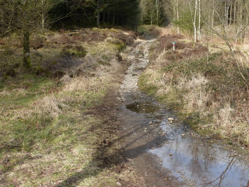
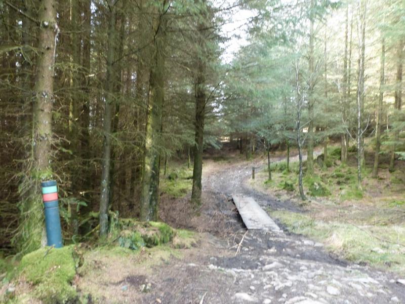
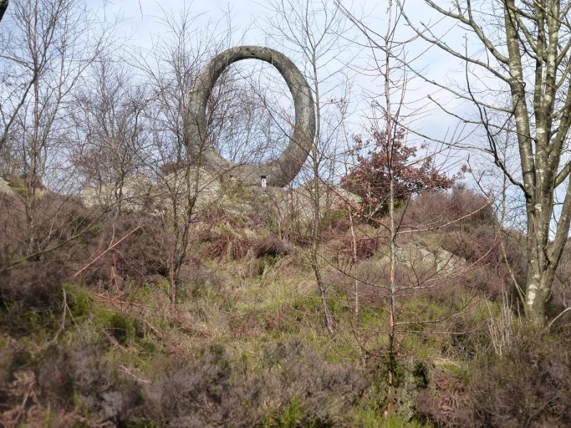
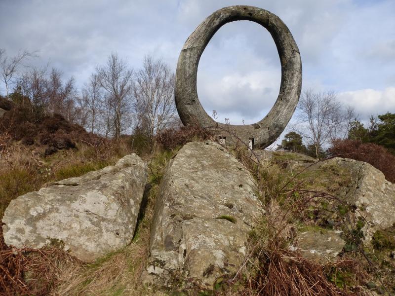
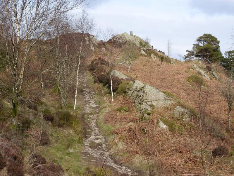
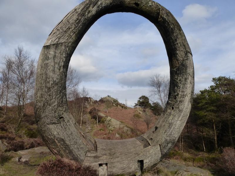
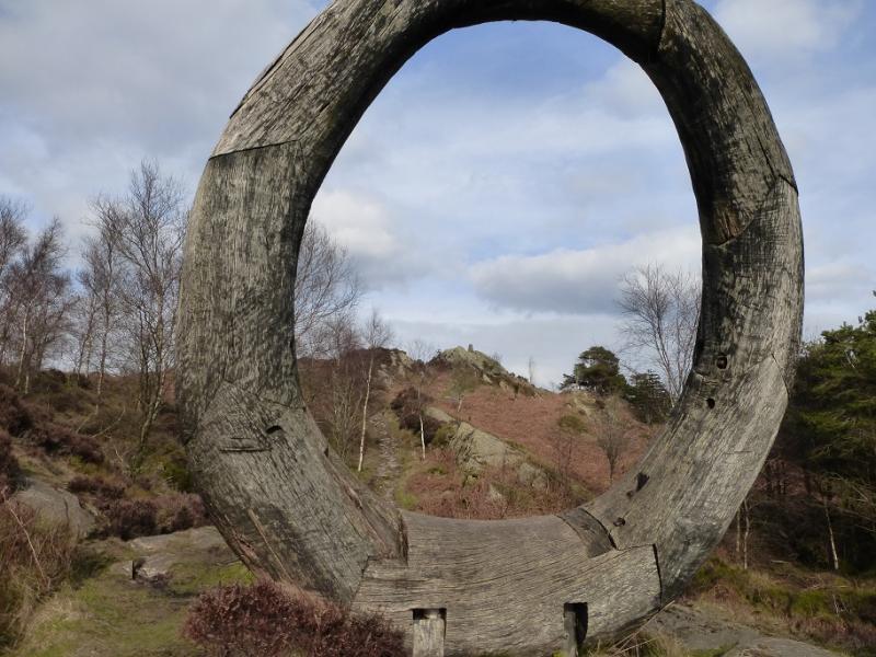
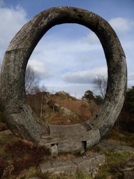
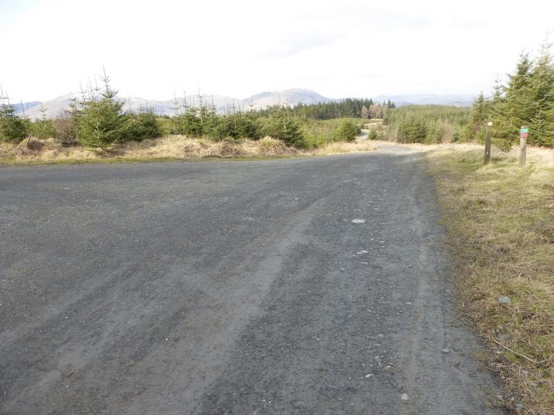
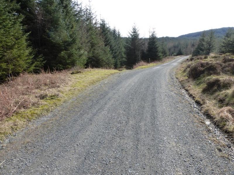
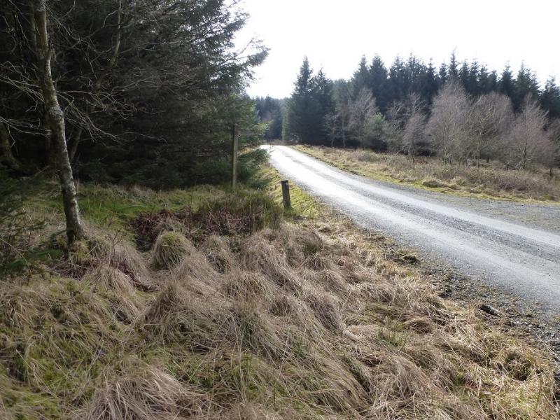
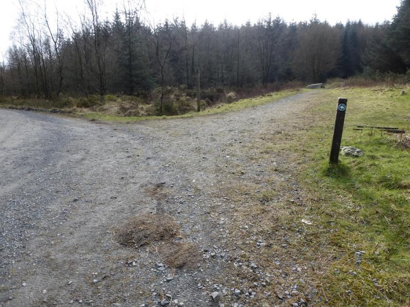
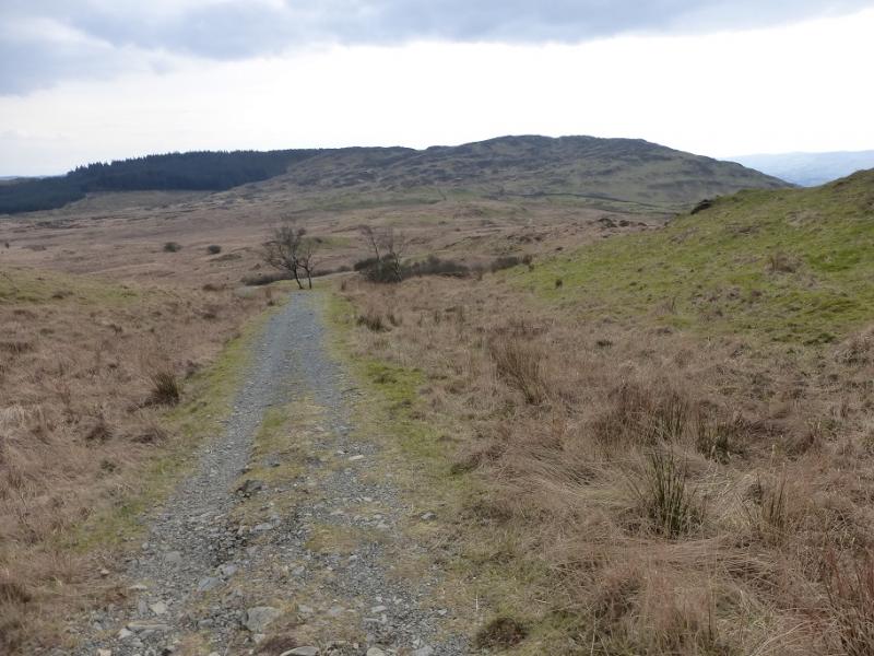
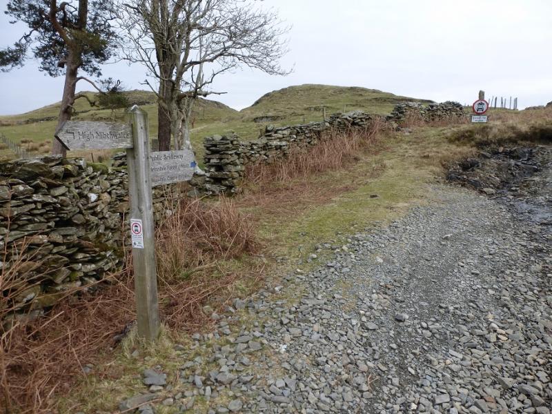
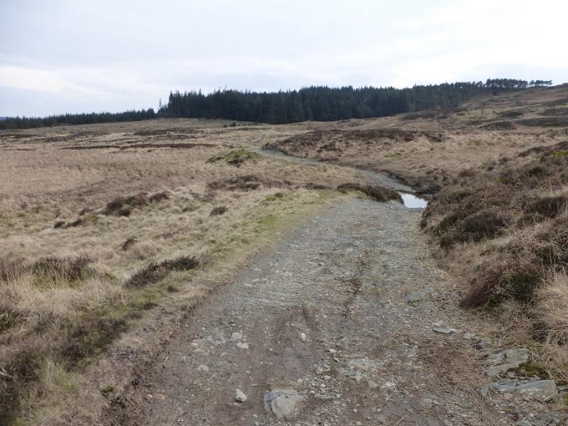
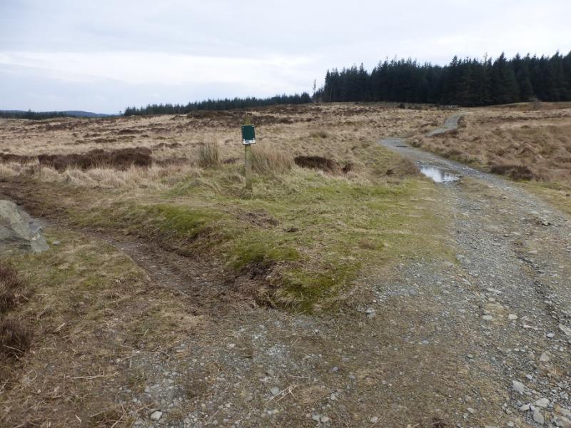
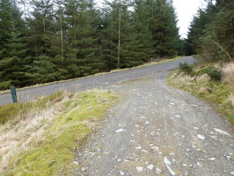
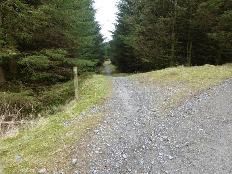
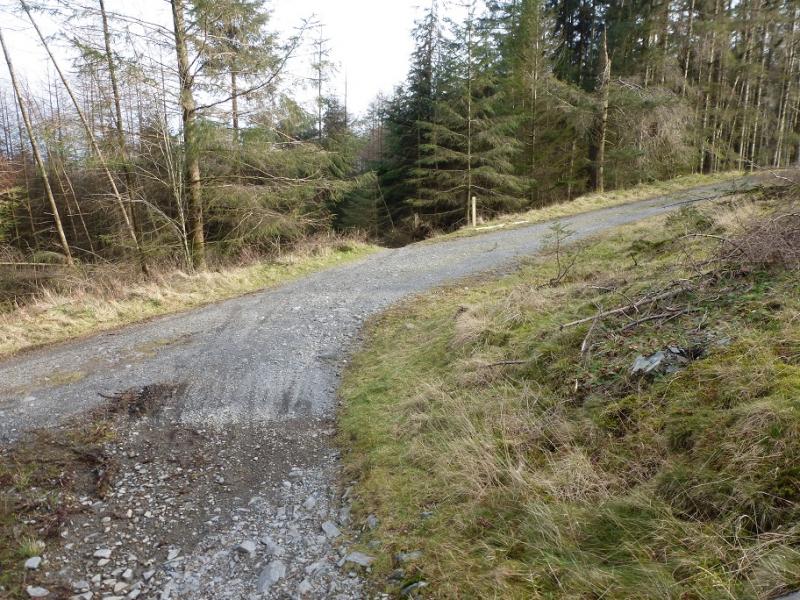
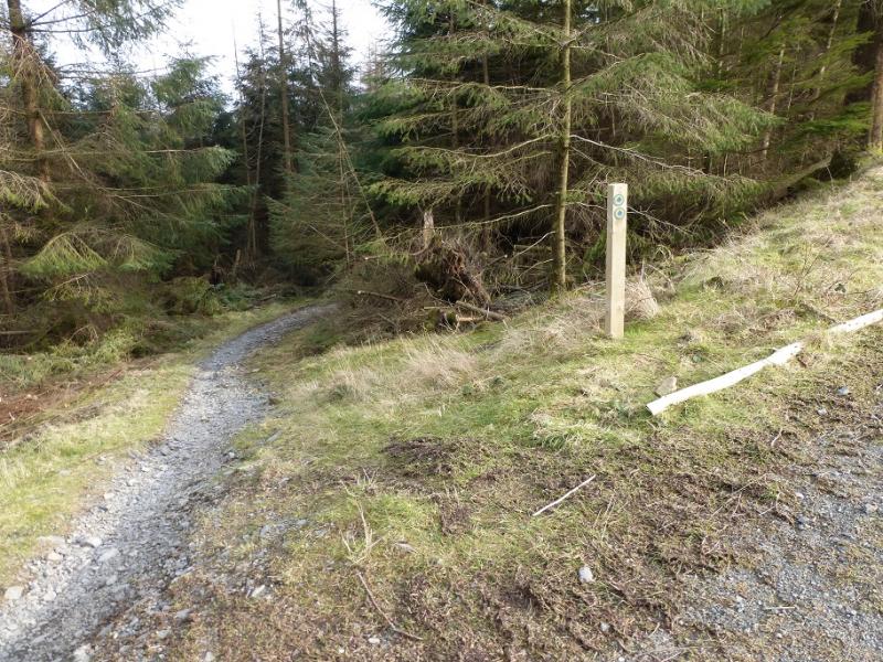
(1) Walk up Moor Lane which is quite rough in places and follows a wall NW. There are marker posts coded green which can be followed. These actually go all the way to the summit but this route does not follow them all the way although that is an option for those who wish for “idiot proof” navigation! Moor Lane effectively ends just below a major forestry road and splits with the marker posts going right and the path zig-zagging up to the road. Go up the short zig-zags to the road. Opposite is a rough track* which is where the return route brings you back to so remember this for later. Turn right on the road and soon rejoin the marker posts. These leave the road a few times but always come back to it giving a choice of routes. Two stone bridges are passed. Further on, just after a major road goes left (almost a reverse fork), the posts go up some rough steps. This route takes the road going left. Follow this. After a sweeping bend take a right turn on to another track and follow this until another right turn onto another track takes one slightly down hill. Follow this until it meets a major road and rejoins the posts. Turn left then a short distance further, after a cyclists only path, fork left onto the final ascent path, still following the posts. The path goes into dark forest. Just before the summit, there is a large wooden oval up to the left which can be easily reached. The summit can be seen from here, about 100 m further on. Continue up to an outcrop where a trig point marks the summit of Carron Crag, 314 m.
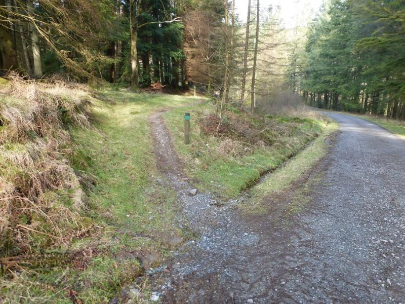
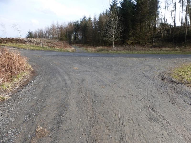
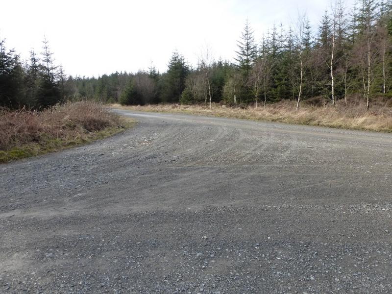
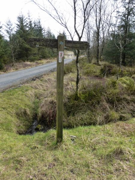
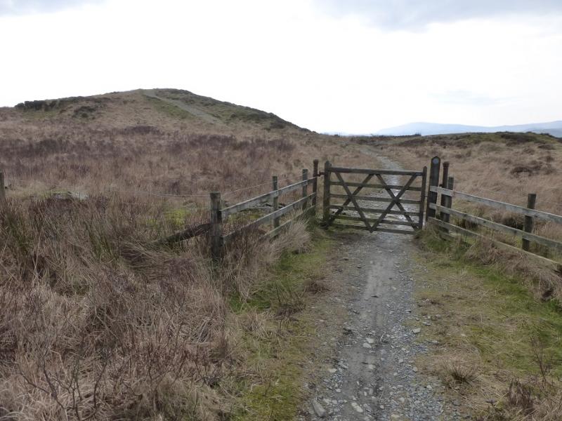
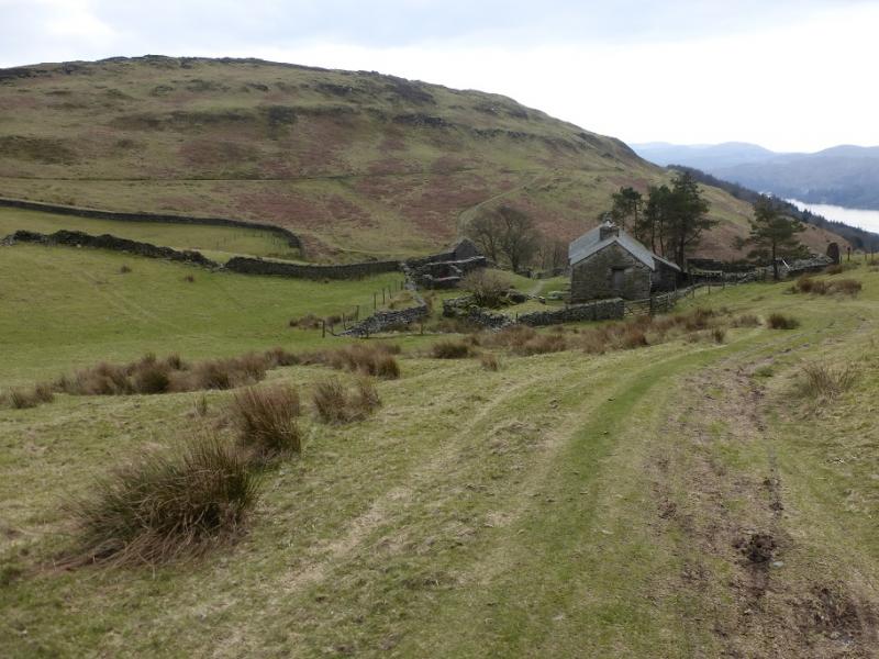
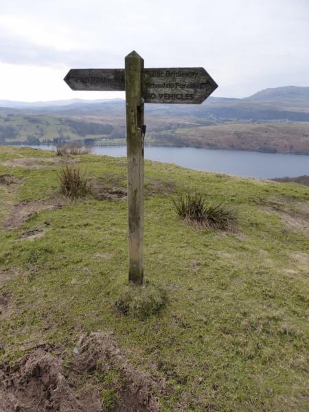
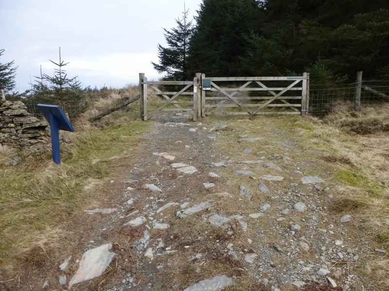
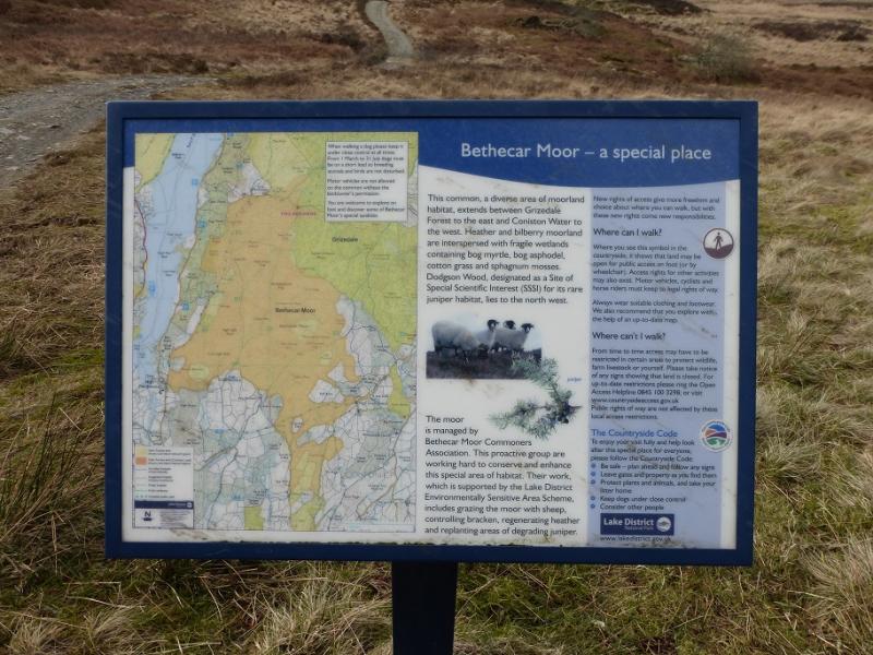
(2) Continue on the path, heading roughly N and still following the marker posts. This soon reaches a forestry track. Turn left and follow this. Ignore a branch going left then a narrow reverse fork going right which is where the marker posts go. Very soon after, reach a major forestry road and turn left onto it. Follow this for about 1.3 km to reach a sign post on the right hand side of a left hand bend. A path leaves the road here signed for Parkamoor. Take this path and follow it through the forest. Just after leaving the forest, it goes through a gate. About here, there are good views of Coniston Water. The path is now a track and it descends to the house at Low Parkamoor – not seen until fairly close. Pass the house and ascend up the other side to reach a path with a sign post just off to the right. It is worth walking to this to confirm that you are on the path from High Nibthwaite to Parkamoor! Take the path east – not signed! – which leads back towards the forest. This is the path which goes left after ascending from Low Parkamoor – you went right for the sign post. This section of the route can be boggy in places. Further on, the track splits; take the right fork which soon leads to a gate into the forest by an information board. Follow the path/track to a main track. Cross diagonally right and continue on the path down to another main track which is also crossed diagonally right. This path leads down to a third track which is just above the short zig-zags down to Moor Lane. You were advised to visit this point* earlier! Walk down Moor Lane back to the start.
Notes
(a) This walk took place on 27th October, 2016.
Photos - Hover over photo for caption. Click on to enlarge. Click on again to reduce.